UCB
Upper Chesapeake BayWho Operates and Manages this LTAR Site?
The UCB is principally operated and managed by USDA-ARS’s Pasture Systems and Watershed Management Research Unit (PSWMRU) in University Park, PA.
Description
UCB’s mission is to conduct research that enhances the environmental and economic sustainability of agriculture in the northeastern US through improved agroecosystem management. Research in the UCB is principally focused in three watershed locations that best represent the physiography and diversity of agricultural conditions within the region. The Mahantango Creek watershed is the longest running site in the UCB. Established in 1968, Mahantango Creek has served as the locus of long-term USDA-ARS research on agricultural hydrology and water quality. The UCB added Spring Creek and Conewago Creek watersheds in 2011 with the inception of the LTAR network. Research in Spring Creek is mainly focused on field-scale studies of sustainable cropping systems and nutrient management on 5 ha of Pennsylvania State University’s Russell E. Larson Agricultural Research Center and 40 ha of the nearby Gatesburg Farm. These sites contribute to the LTAR “Common Experiment” that compares “business as usual” and “aspirational” agricultural practices. Research in Conewago Creek leverages its status as one of three USDA-NRCS Showcase Watersheds in the Chesapeake Bay. Showcase Watersheds, established in 2009 as part of Executive Order 13508 on Chesapeake Bay Protection and Restoration, are seen as laboratories where voluntary approaches to conservation can be tested and evaluated. Partners in Conewago Creek include Pennsylvania State University, USDA-NRCS, USGS, local farmers, and other stakeholder groups.
Geography
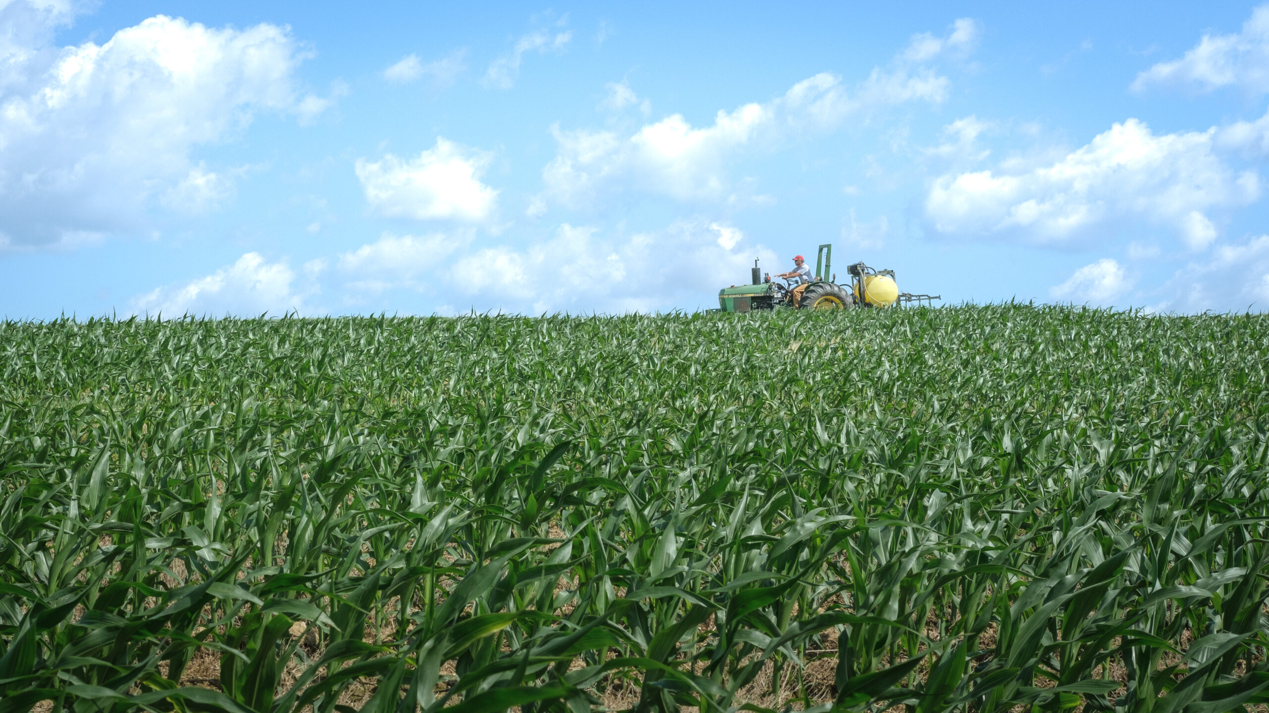
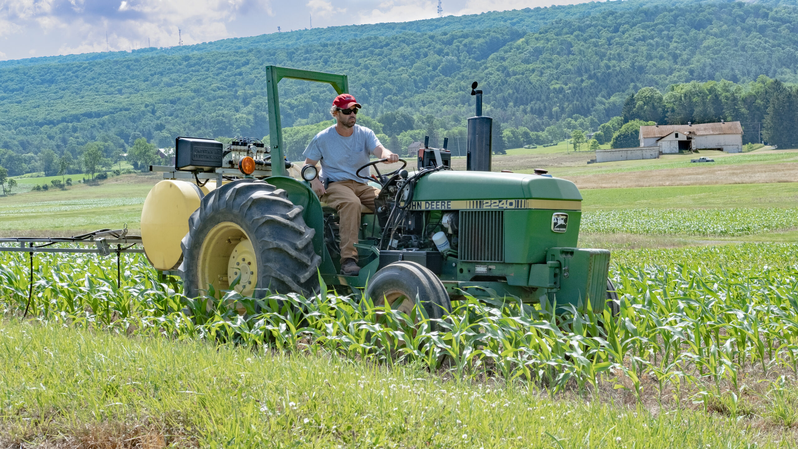
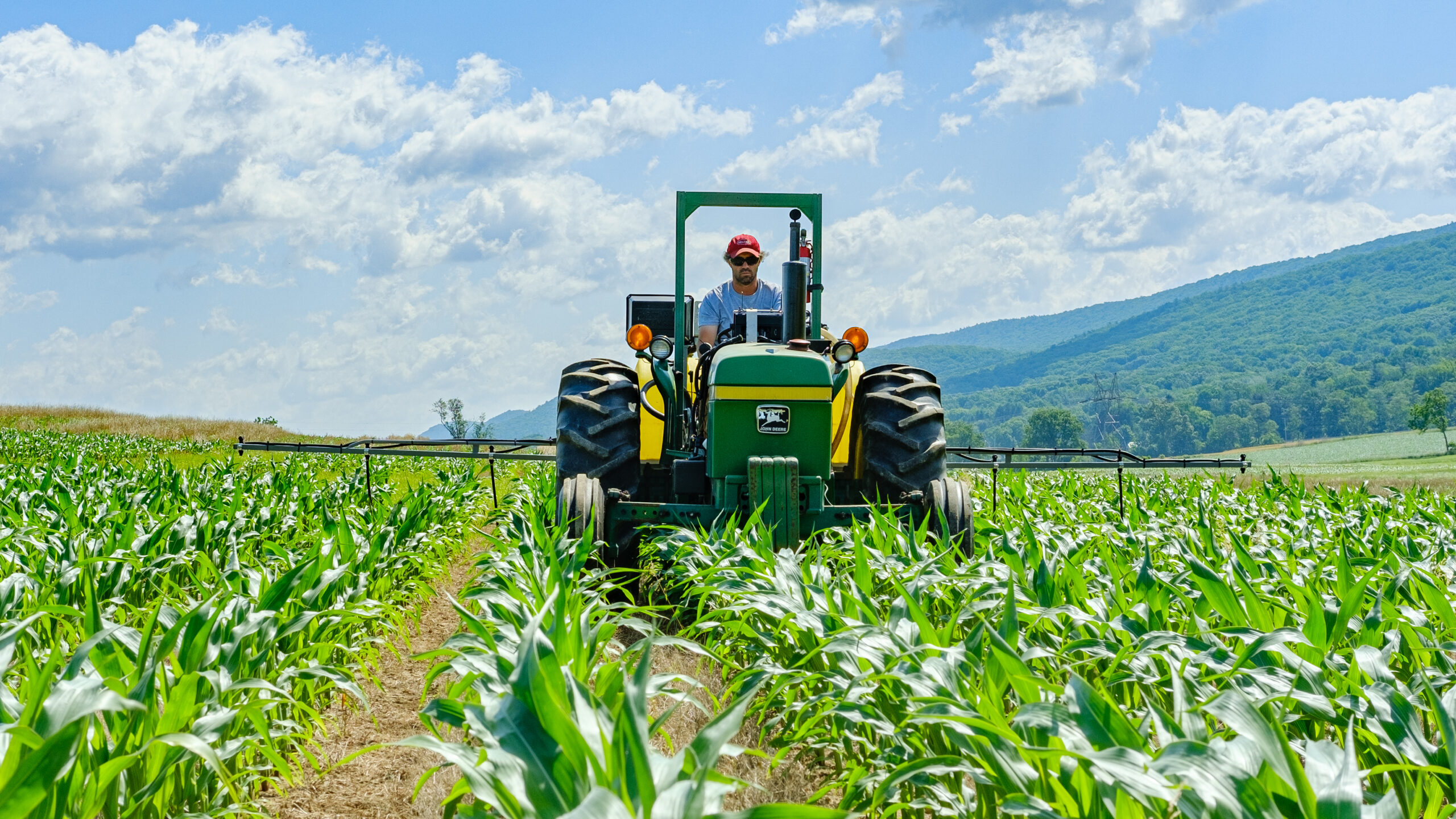
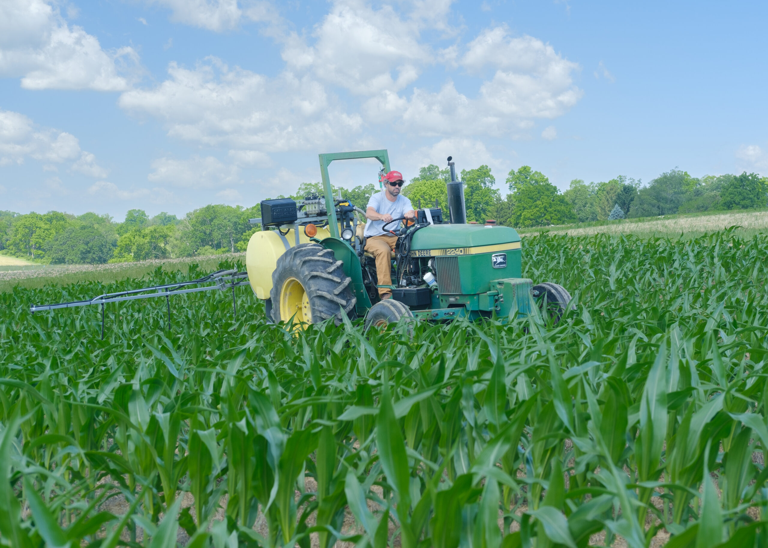
The three major land resource areas (MLRAs) of the study region are the Piedmont, Appalachian Ridges and Valleys, and Allegheny Plateau regions of the Mid-Atlantic United States. The study watersheds represent the predominantly agricultural croplands in the Piedmont (Conewago), the mixed cropland and forested areas of the non-karst regions (Mahantango) and limestone karst regions (Spring Creek) of the Appalachian Ridges and Valleys. The headwaters of the UCB Watershed originate in the predominantly forested regions of the Allegheny Plateau. Most of the soils are Udults, Udalfs and Ochrepts that formed in sediments derived from sandstone, siltstone, and shale (and limestone in the Karst region). Local relief on Piedmont uplands and in the rolling valley bottoms of the Appalachian Ridges and Valleys range from 5 to 50 meters. Corn, soybeans, small grains, alfalfa and forage for pasture. Dairy is an important commodity and poultry production is increasing in the region.
Instrumentation
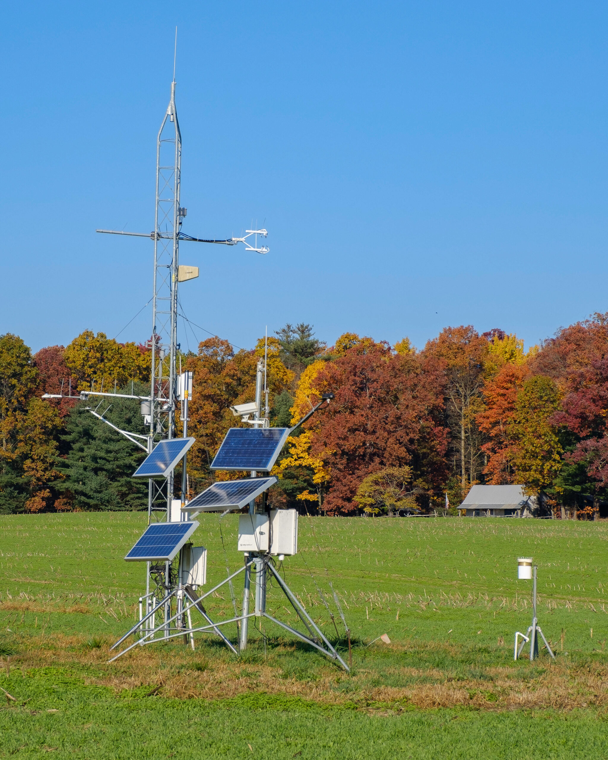
Mahantango Creek: LTAR research facilities and field instrumentation are generally located in and around the 7.3-km2 WE-38 watershed. Facilities include a field station at Klingerstown, PA with office space for five technicians, fabrication shop, laboratories, and sampling equipment. In the nearby WE-38 watershed, stream discharge has been continuously monitored at the outlet of WE-38 since 1968 using a compound v-notch weir. H-flumes are used to monitor streamflow in several small tributaries of WE-38, including the 11-ha Mattern watershed (one flume at the outlet) and the 40-ha FD-36 watershed (four H-flumes installed along the stream reach). Continuous precipitation data are available from three weighing rain gauges within the WE-38 watershed, two of which were initiated in 1968, and the third in 1979. In addition to the rain gauges, two meteorological stations provide continuous measurements of air temperature, humidity, wind speed, wind direction, and solar radiation. A network of 19 piezometers, installed in 1973, provides information on groundwater levels throughout the WE-38 watershed. In addition, USDA-NRCS has operated a SCAN site at the Klingerstown Field Station since 1999, providing supplementary long-term information on soil moisture and temperature, as well as climatic conditions.
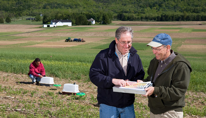
Spring Creek: LTAR research in Spring Creek is largely conducted at the Kepler Research Farm, a 5-ha tract on Pennsylvania State University’s Russell E. Larson Agricultural Research Center. The site features twelve hydrologically isolated plots (27 × 15 m) that are arranged in a three-column design on a 1.4-ha agricultural hillslope. Hydrological isolation is achieved using earthen berms for overland flows and subsurface tile drains (installed at the soil-bedrock interface) for subsurface flows. Separate runoff collection lines are used to route overland and subsurface flows from each plot to one of two collection houses at the base of the hillslope. Each runoff collection line is equipped with a tipping bucket (for low flows) and an HS flume (for high flows) installed in series. Flow measurements are made every five minutes during runoff events.
The broader Spring Creek watershed features a number of long-term monitoring initiatives conducted by partner agencies and organizations. Included are three USGS stream gages on the main-stem (record lengths spanning from 27 to 71 years) of Spring Creek, as well as nine dedicated monitoring stations that were initiated by the ClearWater Conservancy Water Resources Monitoring Project (WRMP) in 1997 to measure continuous stream discharge and water quality conditions on Spring Creek and its major tributaries. Intensive experimental and monitoring infrastructures also exist on the Kepler Research Farm, including those in operation by USDA-ARS, as well as atmospheric deposition and air quality monitoring sites operated by the National Atmospheric Deposition Program (NADP) and soil and meteorological monitoring by NRCS SCAN.
Conewago Creek: LTAR research in Conewago Creek remains nascent relative to Mahantango and Spring Creek watersheds. The watershed features two permanent stream gauges operated by USGS (one at the mouth, and a second gauge in the middle of the basin). In addition, a meteorological station installed in 2010 provides continuous data on temperature, humidity, wind speed, wind direction, and solar radiation.
USDA-ARS PSWMRU: Overall, excellent physical and human resources are available at University Park, PA to support activities associated with the LTAR network. The three CRIS projects at University Park include 12 PhD scientists and 20 technicians and support scientists (BS and MS trained). The University Park facility includes offices, laboratory and greenhouse infrastructure with all communication and data management equipment required of a modern research program. Analytical equipment include 2 flow injection analyzers for colorimetry/ion chromatography, 1 inductively coupled plasma optical emission spectrometer (with hydride generator), 1 tandem mass spec with gas chromatography and high performance liquid chromatography capability, 1 dedicated gas chromatograph, spectrophotometers, and ion-specific electrodes. The location has four state-of-the-art growth chambers with sub-zero temperature capability. A sample of the physiological and ecological data acquisition devices include, four eddy covariance systems for monitoring ecosystem carbon and water vapor flux, an INNOVA photoacoustic gas measurement system capable of monitoring ammonia emissions, and all agriculturally important greenhouse gases including carbon dioxide, nitrous oxide, and methane, a LI6400 photosynthesis measurement system, a minirhizotron camera system for monitoring root growth, and numerous weather stations with components for measuring rainfall, wind velocity, radiation, soil and air temperature, photosynthetically active radiation, and soil moisture.
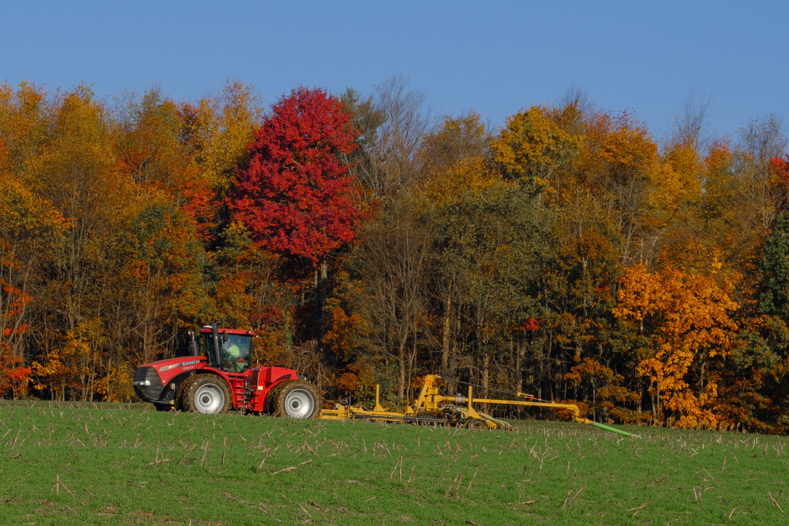
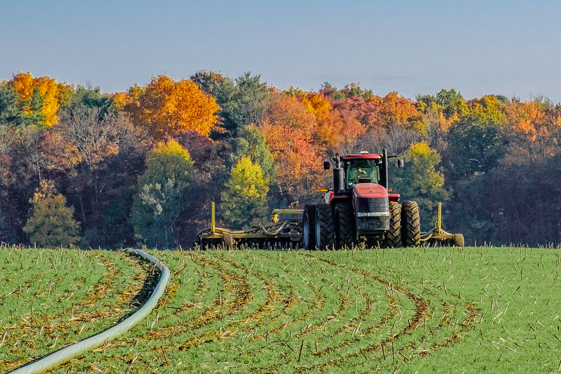
USDA-ARS field station at Klingerstown: The field station at Klingerstown, PA (Mahantango Creek watershed) is equipped with office space for five technicians, as well as a woodworking and metal workshop. We maintain, modify or build heavy equipment components (fertilizer/manure applicators, manure injection equipment, tractors). We fabricate most of the specialty equipment needed for our research: channel flumes and weirs; lysimeters; runoff splitters; tipping buckets; soil boxes for indoor simulations; rainfall simulators; gas chambers; laboratory shakers. Also available are global positioning units, hydraulic well packers, weather stations, flow gauging flumes, automatic water samplers, and all-terrain soil-core and lysimeter sampling equipment. We have land lease agreements that enable long-term continuity in our Mahantango Creek watershed research, and an infrastructure of automatic sampling equipment at all experimental sites. Water flow and water quality research in the Mahantango Creek watershed are organized in a nested fashion, from the 420-km2 Mahantango Creek watershed to the 7.3-km2 WE-38 sub-watershed, to the FD-36 and Mattern sub-watersheds of WE-38 and their numerous in-channel, hillslope, field and groundwater monitoring networks
Classification System
Farm Resource Regions: Northern Crescent
Land Resources Regions: N – East and Central Farming and Forest Region; S – North Atlantic Slope Diversified Farming Region
Hydrologic Unit Codes (HUC-2): 02 – Mid-Atlantic
National Ecological Observatory Network (NEON): Domain D1 – Northeast; Domain D2 – Mid-Atlantic
NRCS Major Land: 147 – Northern Appalachian Ridges and Valleys; 127 – Eastern Allegheny Plateau and Mountains
LTAR Research Emphases
- Assess the existing health of agroecosystems and the long-term prospects for their continued productivity and profitability
- Provide a landscape perspective for studying agricultural systems and policies that emphasize connections to local and regional environments
- Address critical needs for investment in education and training for future farmers and stakeholders.
Muti-site Initiatives
- Manureshed (Spiegal/Bestelmeyer)
- Water balance (Baffaut)
- Wind erosion network (Webb)
- Phenocam (Browning)
- Watershed modeling (Arnold et al.)
Major Accomplishments
Other Networks (where data is shared)
- Ameriflux
- CEAP
- DAWG
- DAPP
- GRACENet
- NUONet
- REAP
- SCAN
- Phenocam
Site Name
Upper Chesapeake Bay
Website
https://www.ars.usda.gov/northeast-area/up-pa/pswmru
Location
Allegheny Plateau, Appalachian Ridges and Valleys, and Piedmont regions of the Mid-Atlantic United States
Established
1968
Area (km2)
The UCB regional inference space is roughly 103,117 km2, with multiple research locations embedded within the broader region. The primary field research is conducted within Conewago Creek, Mahantango Creek, and Spring Creek watersheds. Collectively, these three watersheds encompass 926 km2 with the UCB.
Leader(s)
Carrie Laboski (Site Lead)
Lead investigators: Ray Bryant (site coordinator), Kathy Soder (Grazinglands Lead), Curt Dell (Croplands Lead), Tamie Veith, Dan Arthur, Sarah Goslee, Paul Adler, Clint Church, Tony Buda, Al Rotz, Kyle Elkin (ARS), Heather Karsten (PSU), Jim Shortle (PSU), Matt Royer (PSU), Ron Hoover (PSU), Heather Preisendanz (PSU), Cibin Raj (PSU), Jon Duncan (PSU)
ABOUT LTAR
The USDA Agricultural Research Service (ARS) Long-Term Agroecosystem Research network consists of 18 Federal and university agricultural research sites with an average of over 50 years of history. The goal of this research network is to ensure sustained crop and livestock production and ecosystem services from agroecosystems, and to forecast and verify the effects of environmental trends, public policies, and emerging technologies.