NP
Northern PlainsDescription
The Northern Great Plains Research Laboratory (NGPRL) has a 100-year legacy of addressing critically important natural resource issues affecting agricultural sustainability. The NGPRL has crop, soils, rangeland, and livestock research capacity at the field and herd scale, complemented by a multidisciplinary scientific team with expertise in ecology, economics, agronomy, and rangeland and soil science.
The mission of the NGPRL is to develop adaptive and integrative practices for sustainable crop, livestock, and rangeland systems through team-focused, systems-oriented research and technology transfer.
Geography
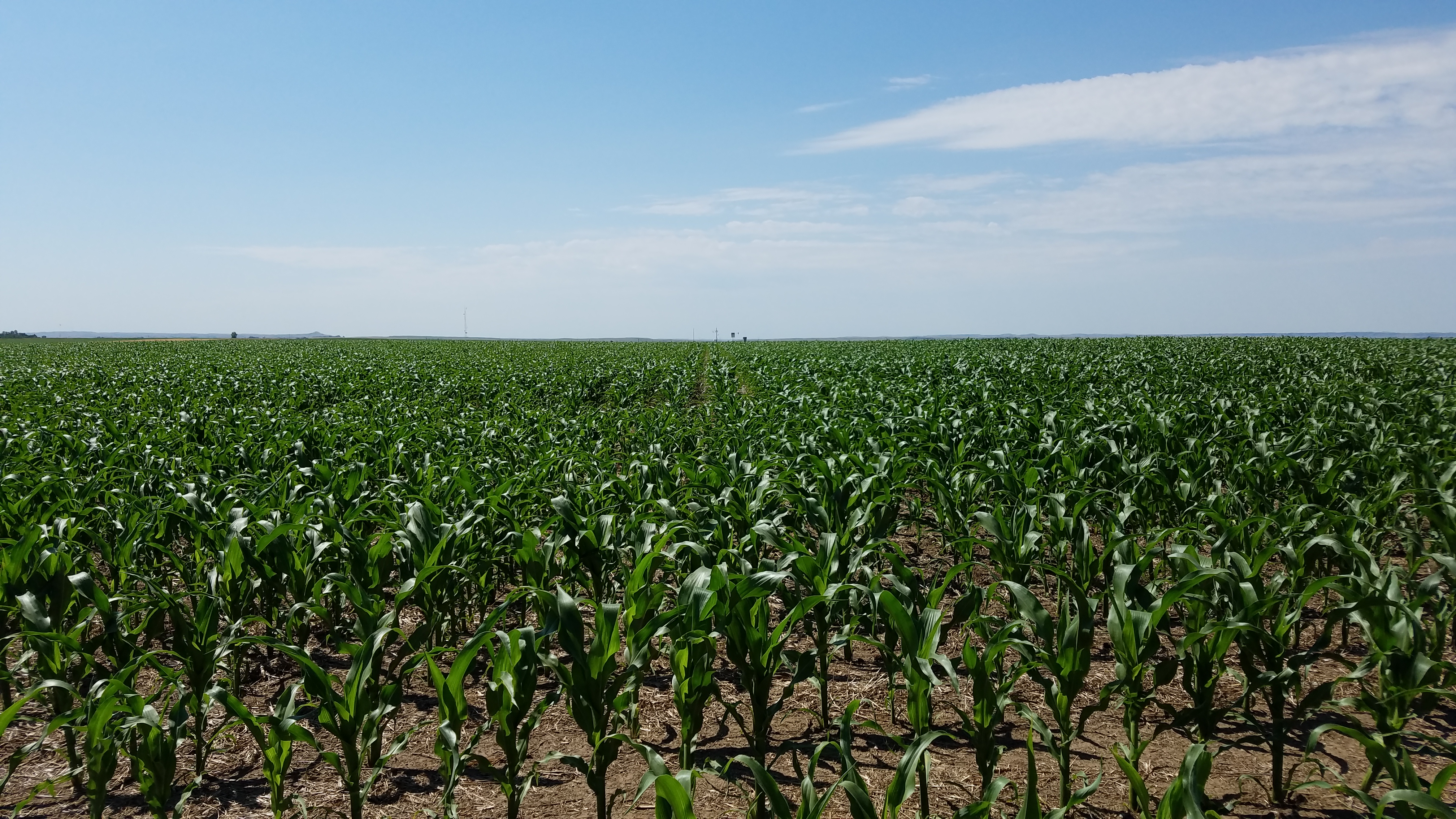
The Northern Plains (NP) Long-Term Agroecosystem Research (LTAR) site is centrally located within the Northern Great Plains farm resource region (46.77° lat, -100.95° lon; 591 m asl). Gently rolling uplands (0-3% slope) characterize the prevalent topography of NGPRL land and most soils have a silty loess mantle overlying Wisconsin age till. Predominant soil types include Temvik-Wilton silt loams. In contrast, a small area (<50 ha) of alluvial outwash west of the NGPRL campus is dominated by Parshall fine sandy loam.
Instrumentation
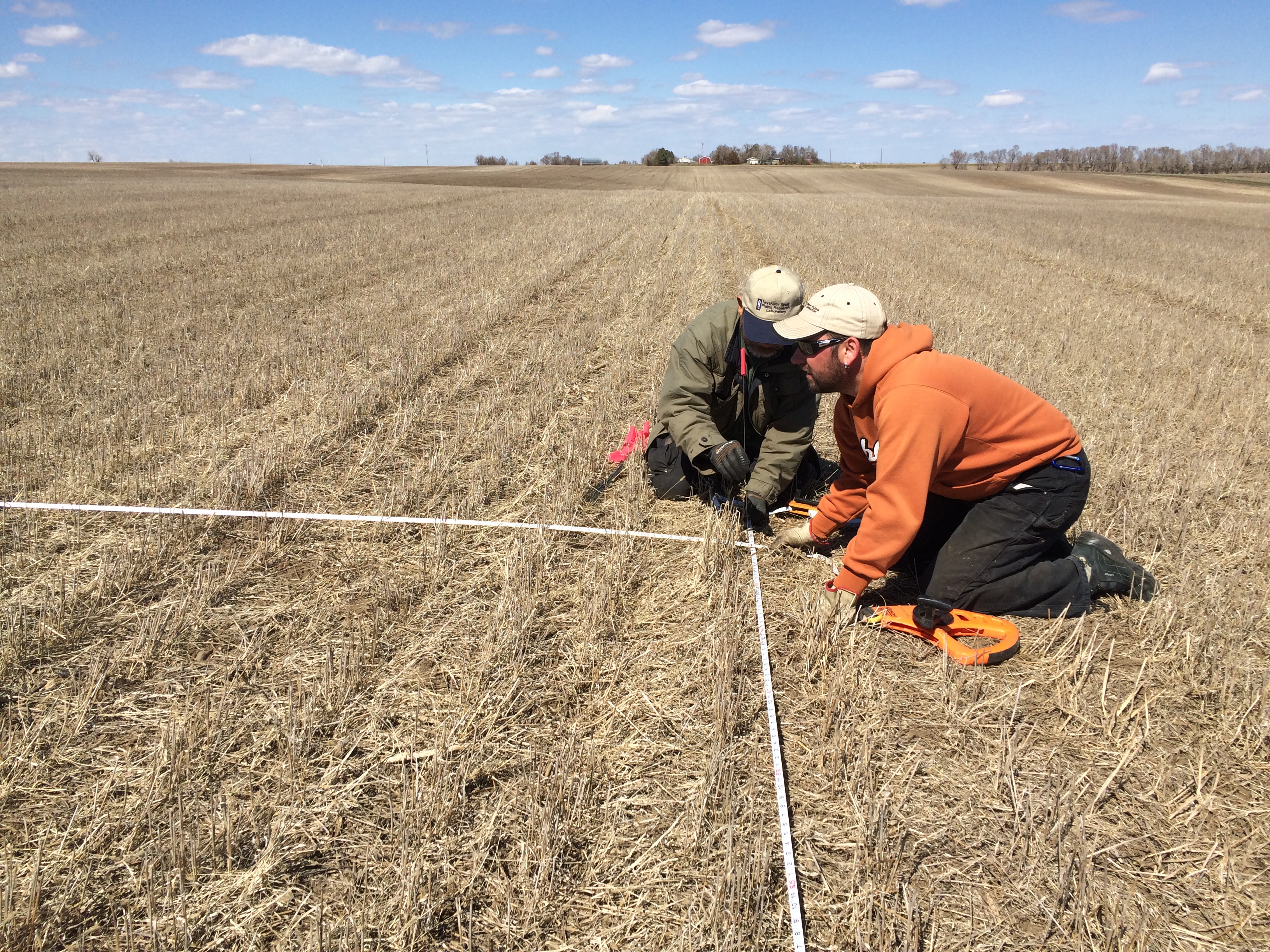
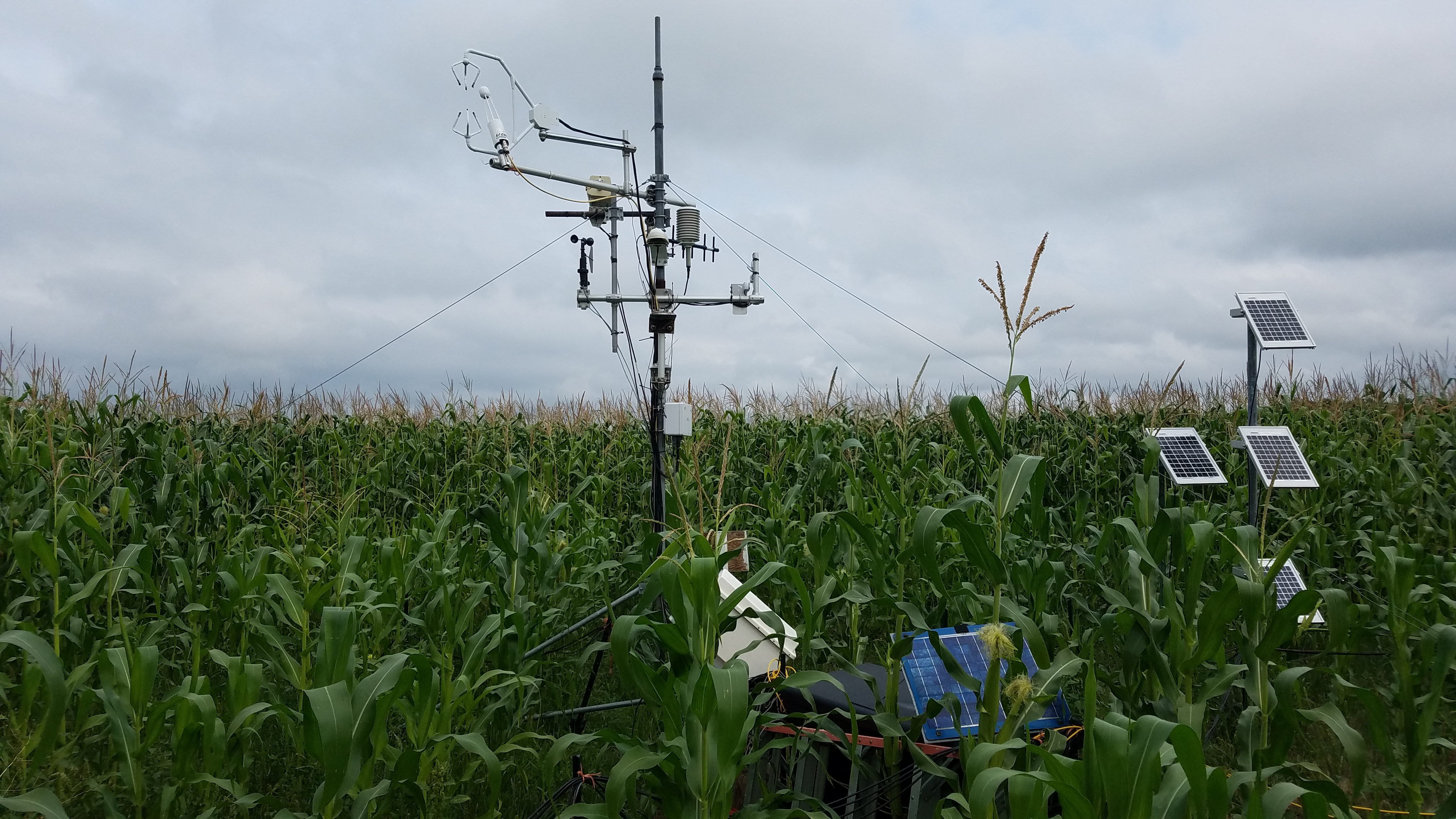
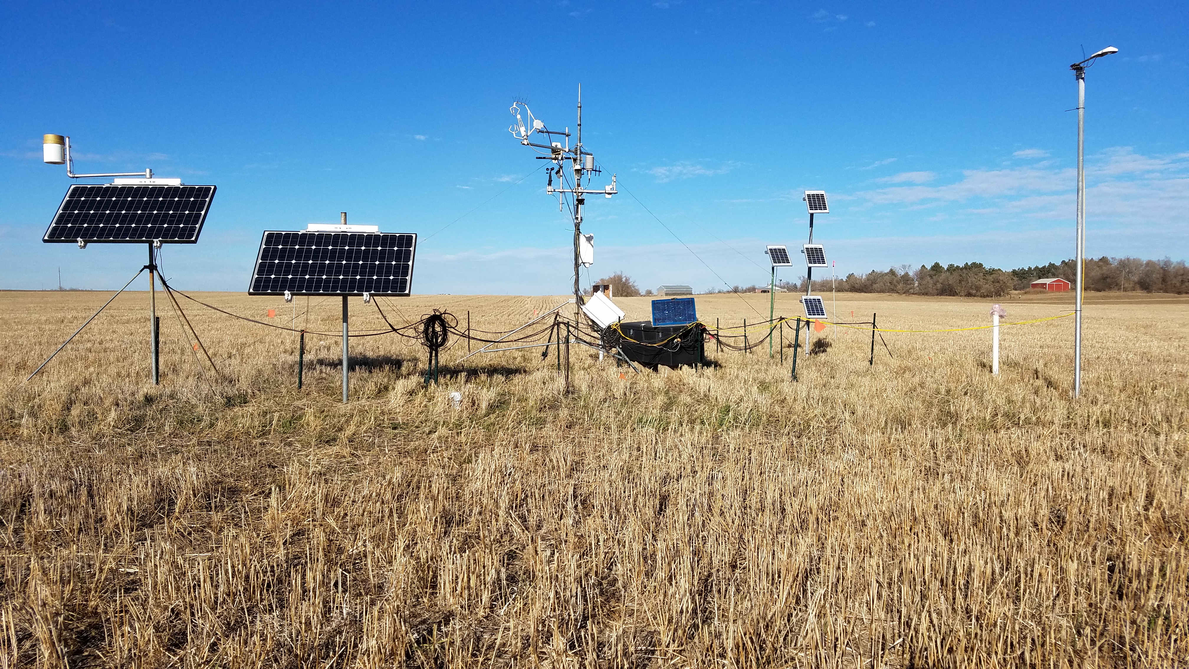
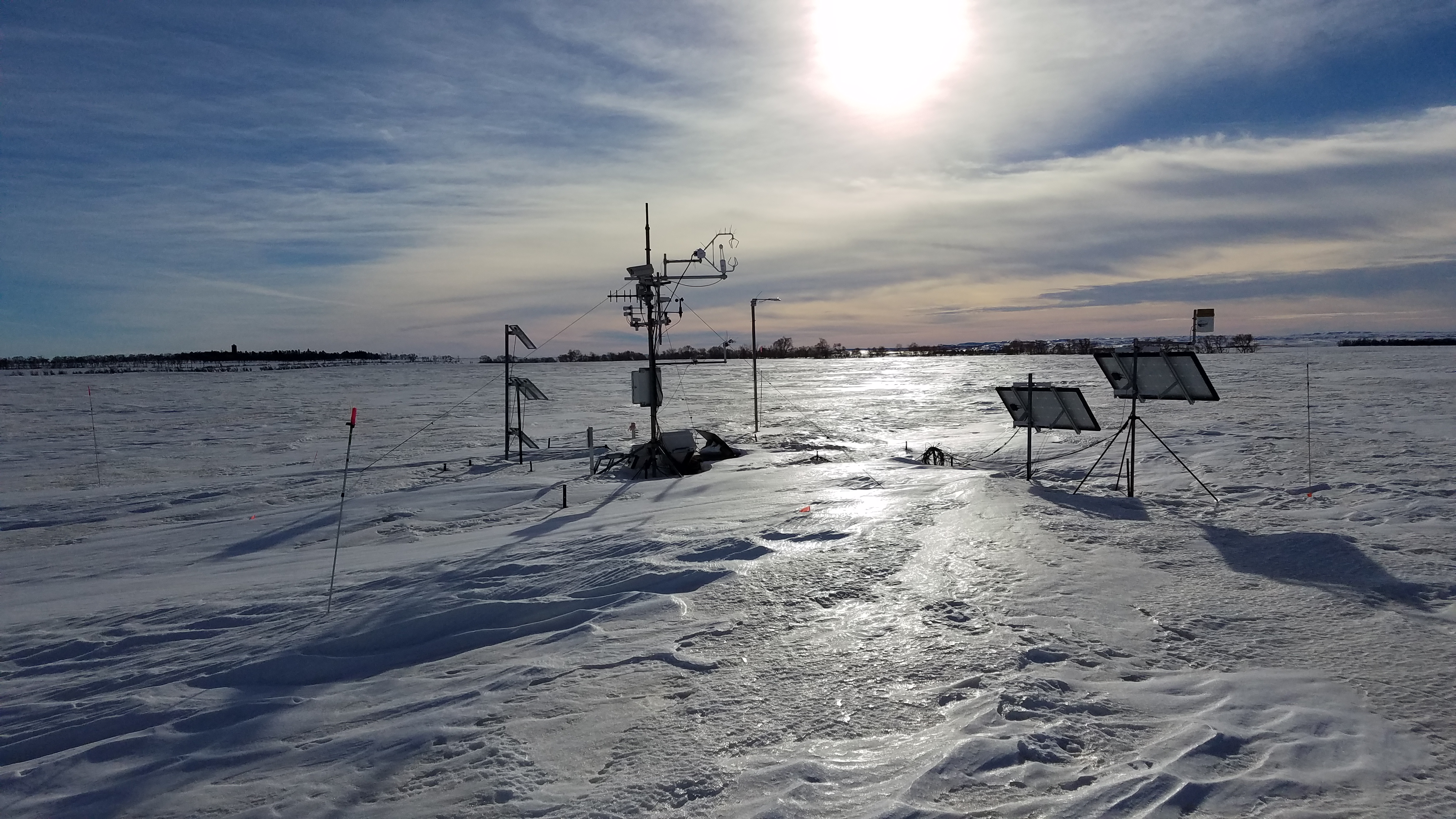
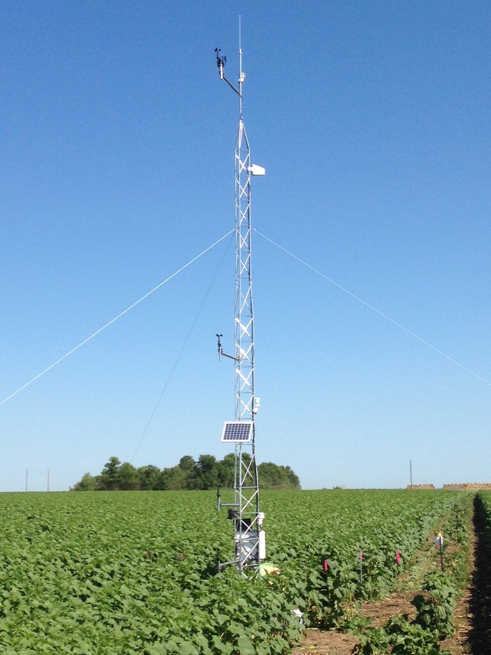
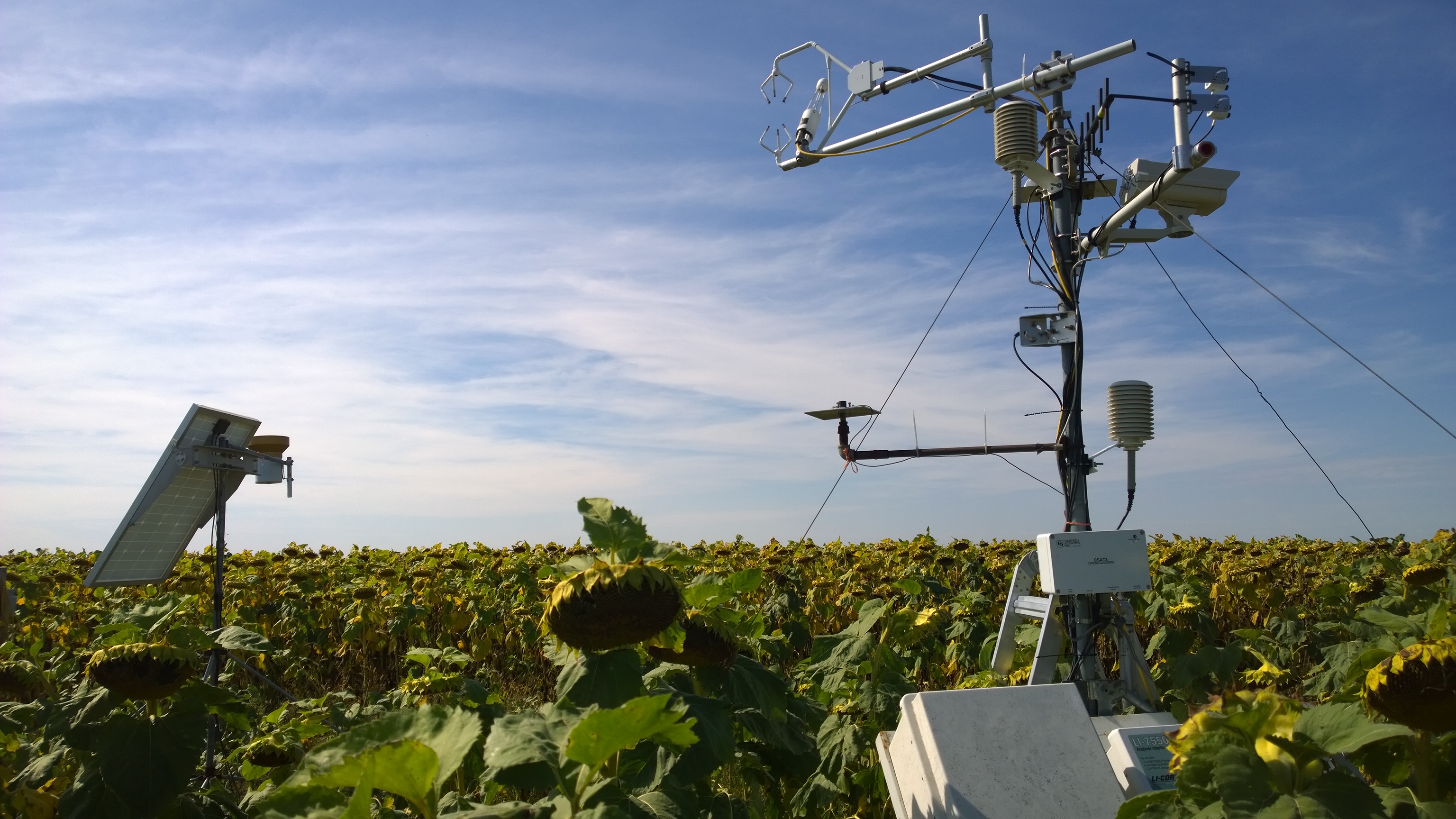
Instrumentation at NGPRL consists of three eddy covariance towers providing near-continuous assessment of meteorological, soil moisture and temperature, and energy/water/carbon dioxide flux measurements under crop (LTAR) and pasture (NEON) land uses. Additional instrumentation includes phenocams (crop and pasture), a weighing-type rain gauge, soil moisture arrays on Temvik and Parshall soil types, a National Wind Erosion Research Network site, and weather stations for the National Weather Service and North Dakota Agricultural Weather Network. Instrumentation locations at NGPRL can be viewed in the following link: http://usdaars.maps.arcgis.com/apps/webappviewer/index.html?id=c2cda300d6cd49cc9fc09b3225895f3c
Classification System
Farm Resource Regions: Northern Great Plains
Major Farm Region: F
Hydrologic Unit Codes (HUC-2): Region 10
National Ecological Observatory Network (NEON): Domain D9 (Northern Plains)
NRCS Major Land: 54 (Rolling Soft Shale Plain)
LTAR Research Emphases
- Sustainable intensification of crop, pasture, and range production systems
- Carbon, water, and energy assessment
- Ecosystem service restoration
- Soil quality assessment
- Remote sensing
Muti-site Initiatives
- Common experiment synthesis (Spiegal/Bestelmeyer)
- Sustainable intensification review (Kleinman)
- Water balance (Baffaut)
- Farm modeling – IFSM (Kleinman)
- Wind erosion network (Webb)
- Phenocam (Browning)
- Regionalization project (Bestelmeyer/Strickland/Spiegal)
- Crop classification and remote sensing (Coffin)
Collaborations
The NGPRL regularly collaborates with partners at NDSU, SDSU, Sitting Bull College, as well as other universities, federal agencies, and ARS locations on grant funded research aligned with LTAR goals. NGPRL scientists are actively involved in the following multi-location research efforts:
- Resilient Economic Agricultural Practices (REAP) https://www.ars.usda.gov/anrds/reap/reap-home/
- Conservation Effects Assessment Project (CEAP) https://www.ars.usda.gov/ceap/
- Greenhouse Gas Reduction through Agricultural Carbon Enhancement Network (GRACEnet) https://www.ars.usda.gov/anrds/gracenet/gracenet-home/
- National Wind Erosion Research Network (NWERN) https://winderosionnetwork.org/
- Rain Intercept Shelters for Kentucky bluegrass (RISK)
- National Ecological Observatory Network (NEON) http://www.neonscience.org/
- Improving Production with Integrated Crop Livestock Systems (IPICL)
Since 2014, NGPRL has actively expanded LTAR research collaborations throughout the northern Great Plains. Using LTAR goals as a template for collaboration, annual meetings among ARS (Lincoln, Brookings, Fargo, Sidney), university (NDSU, SDSU, UNL, UND), federal (USGS-Jamestown), and NSF (NEON) partners have contributed to new and expanded research efforts. The regional partnership currently includes 30 scientists representing >15 research locations.
Other Networks (where data is shared)
Site Name
Northern Plains
Website
https://www.ars.usda.gov/plains-area/mandan-nd/ngprl
Location
Mandan, ND; South Central North Dakota
Established
1912
Area (km2)
10
Leader(s)
David Archer (RL), Igathi Cannayen (NDSU), Jennifer Carter, Jonathan Halvorson, John Hendrickson, Holly Johnson, Scott Kronberg, Mark Liebig, Nicanor Saliendra, David Toledo


ABOUT LTAR
The USDA Agricultural Research Service (ARS) Long-Term Agroecosystem Research network consists of 18 Federal and university agricultural research sites with an average of over 50 years of history. The goal of this research network is to ensure sustained crop and livestock production and ecosystem services from agroecosystems, and to forecast and verify the effects of environmental trends, public policies, and emerging technologies.