SP
Southern PlainsWho Operates and Manages this LTAR Site?
The Grazinglands Research Laboratory (GRL) of USDA-ARS manages the Southern Plains LTAR site.
Description
The GRL consists of the Forage and Livestock Research Unit and the Great Plains Agriculture and Natural Resources Research Unit, who jointly conduct LTAR research.
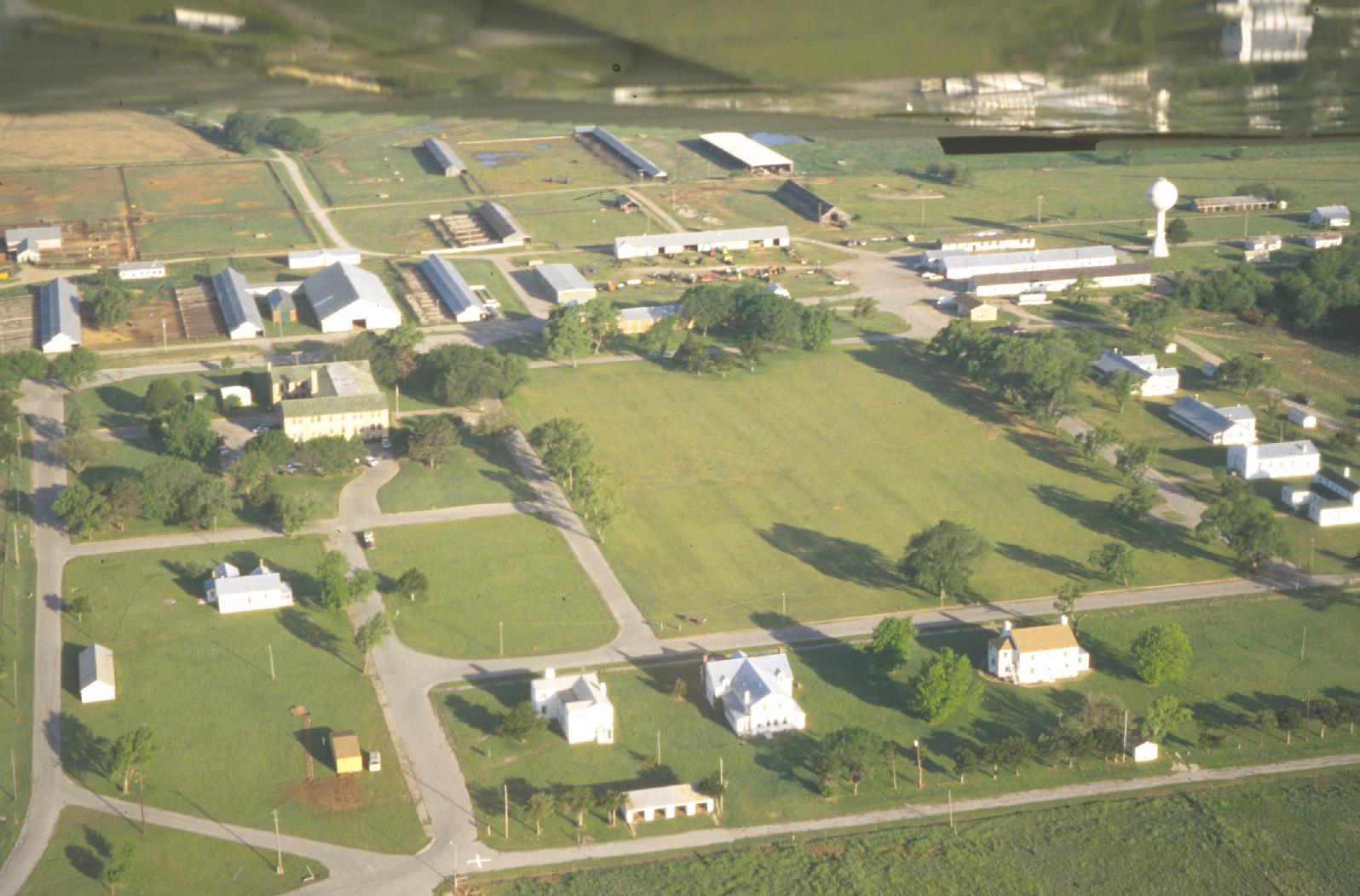
The GLR is located on the former Fort Reno property, which was transferred from the U.S. Army to the USDA by Congress in 1948. Research was initially led from USDA headquarters and implemented through cooperative agreements with the Oklahoma Agricultural Experiment Station. The ARS began assigning in-house staffing and research in 1970.
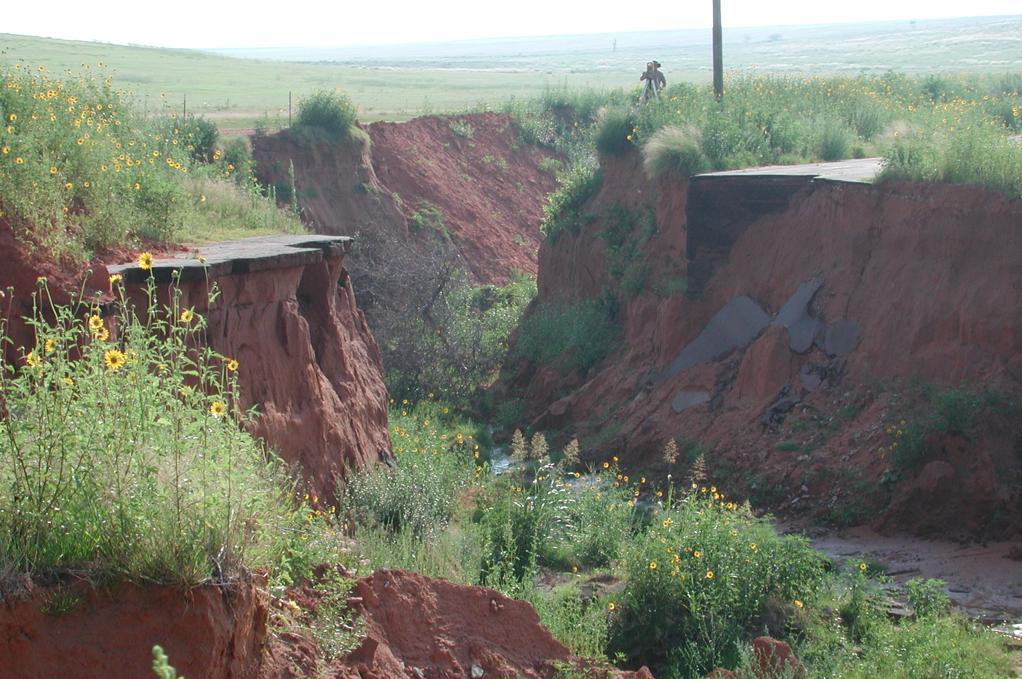
The GRL conducts long-term watershed research in the Upper Washita Basin as part of the Conservation Effects Assessment Project (CEAP). Research began on the Little Washita River Experimental Watershed (LWREW) in 1961, and on the Fort Cobb Reservoir Experimental Watershed (FCREW) in 2005.
Geography
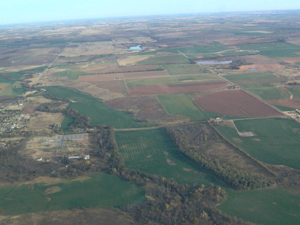
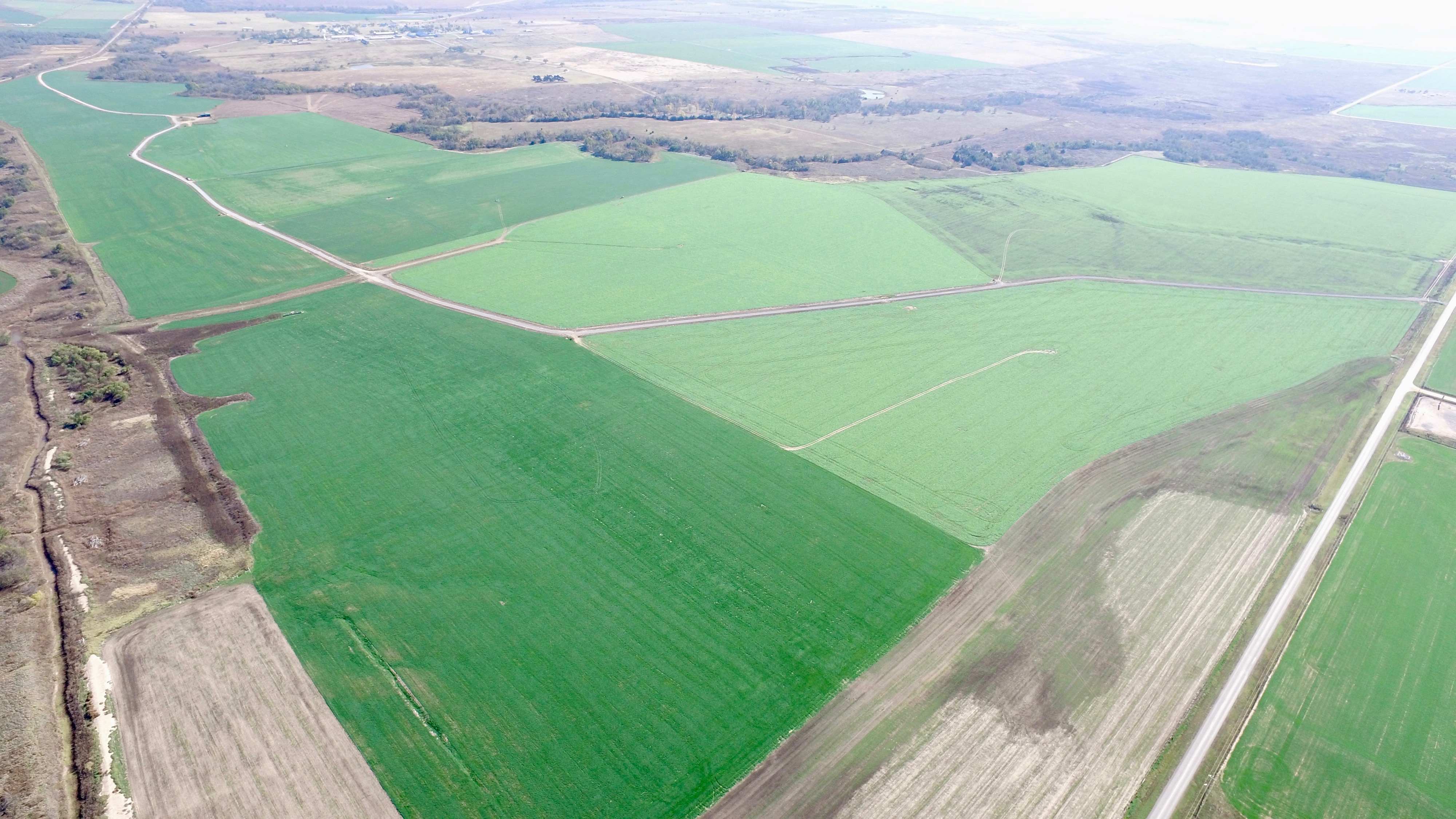
Located in the southern part of the Great Plains, about twenty-five miles west of Oklahoma City, the site (35.59⁰ N, 98.04⁰ W 419 m asl) lies within the Central Rolling Red Plains (Major Land Resource Area 78C). Land use is primarily agricultural, including native prairie pasture, cropland, and pastureland.
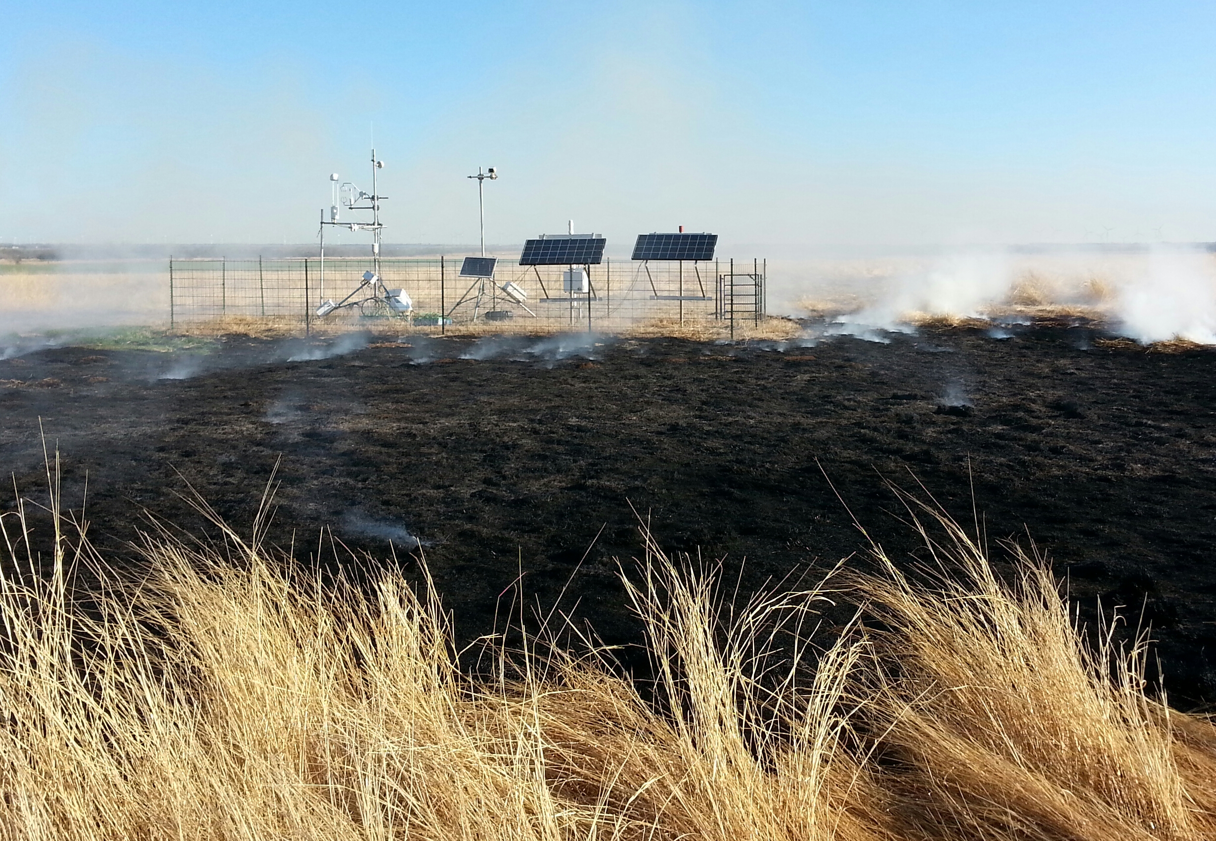
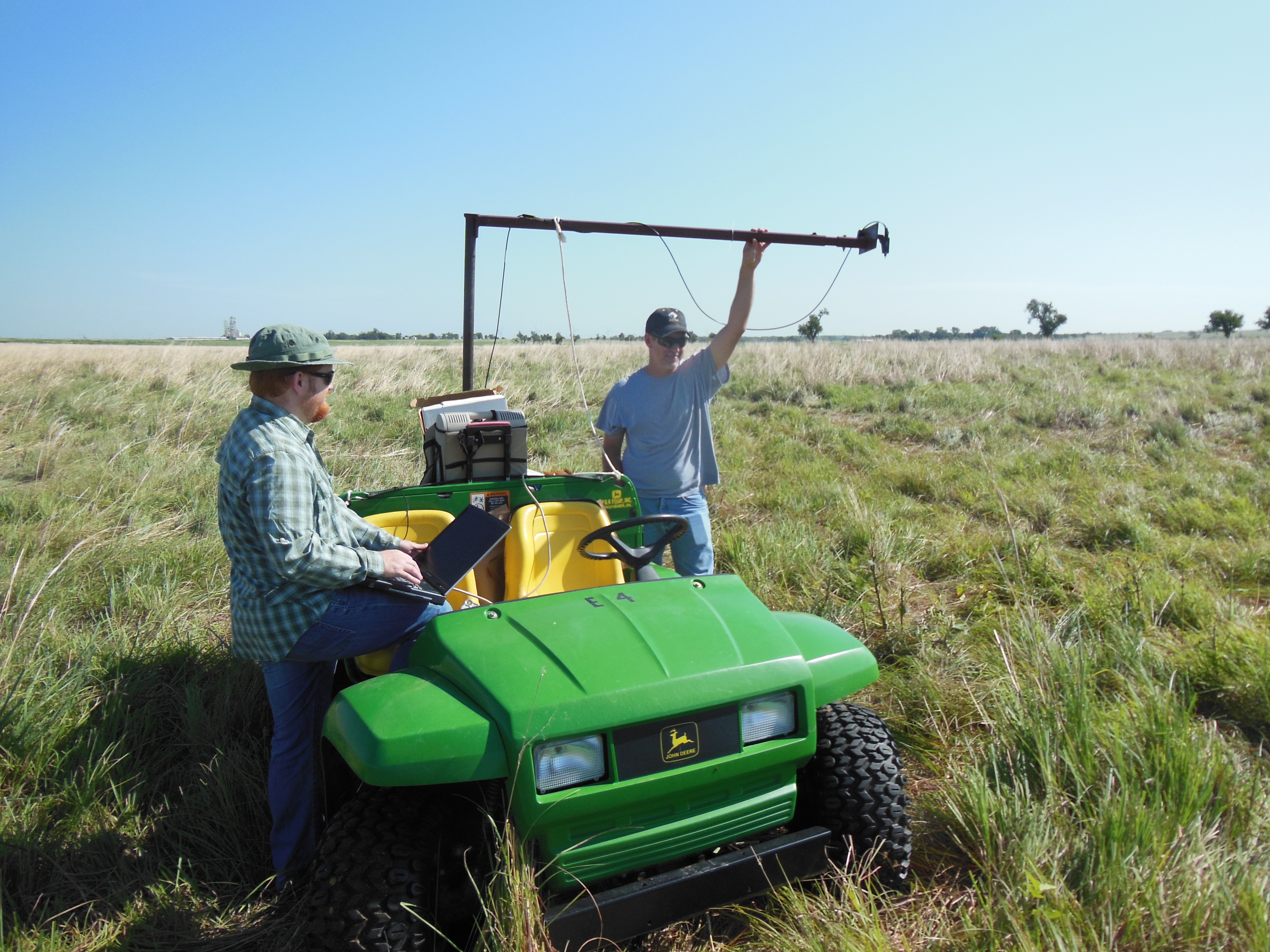
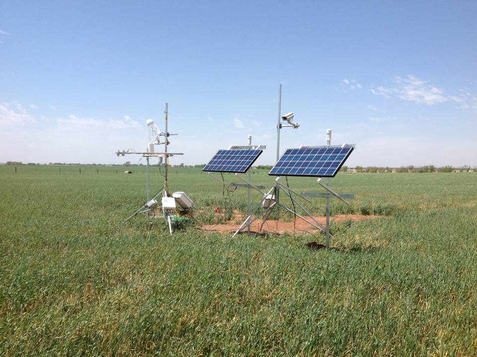
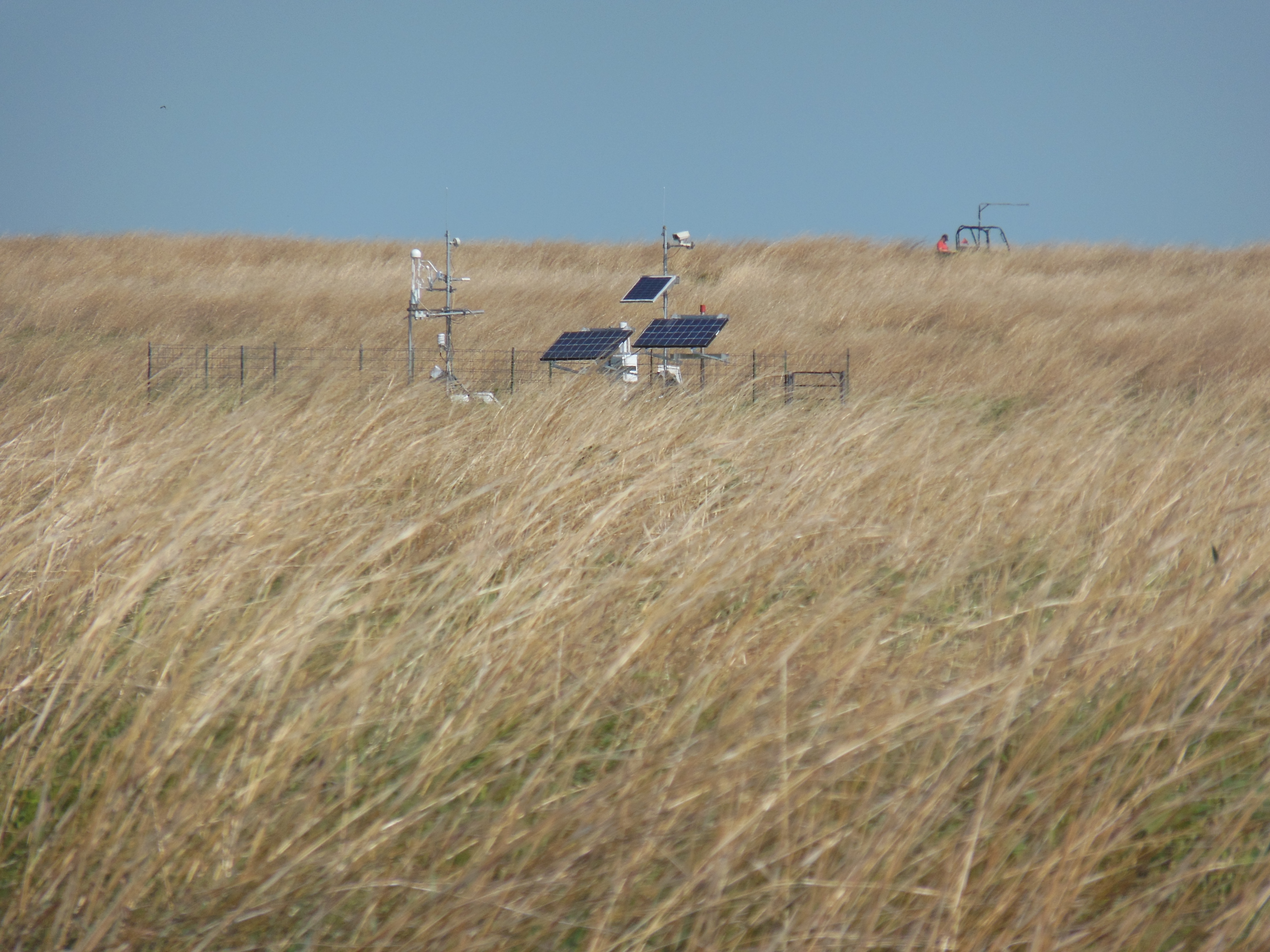
Instrumentation
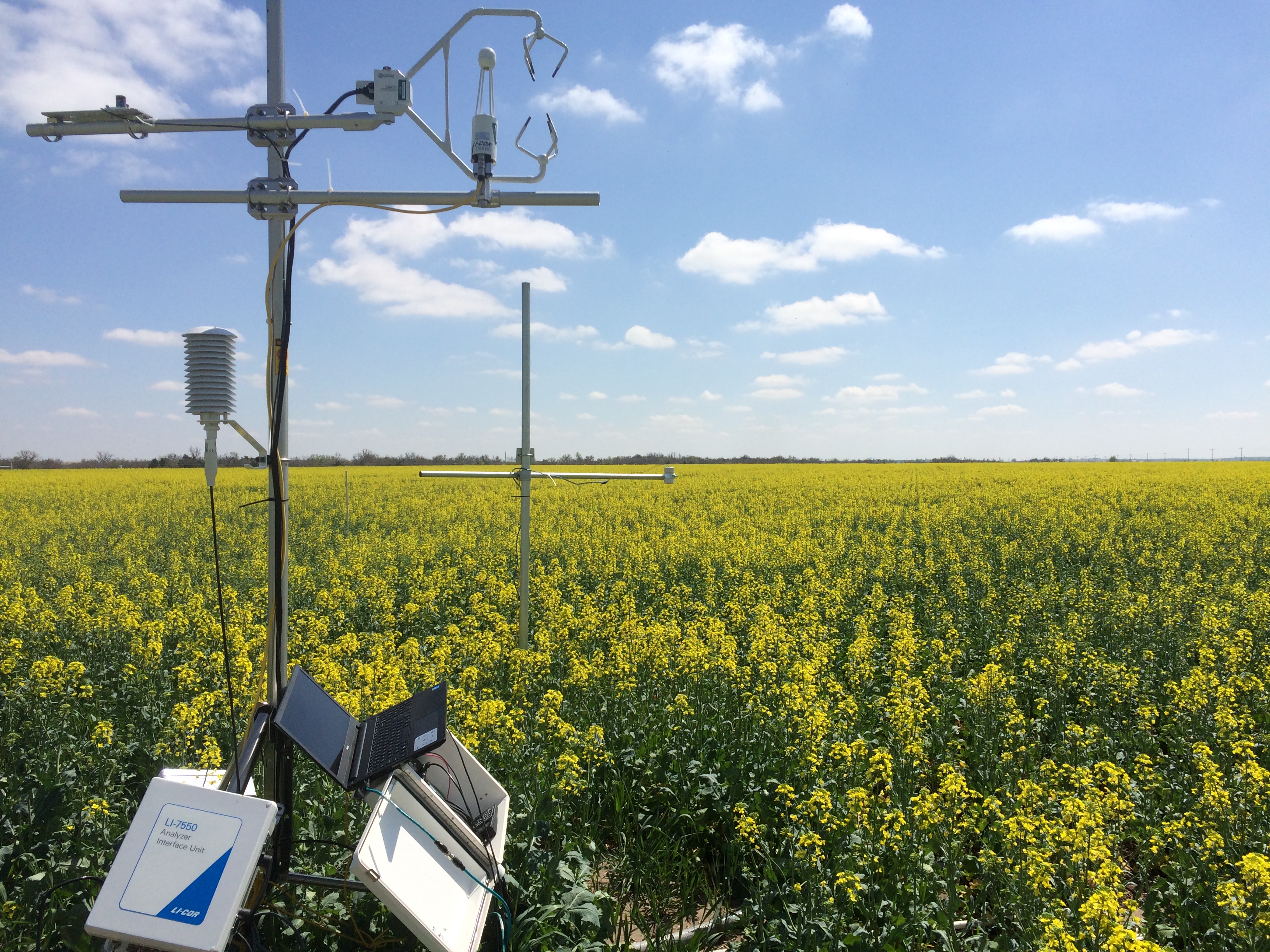
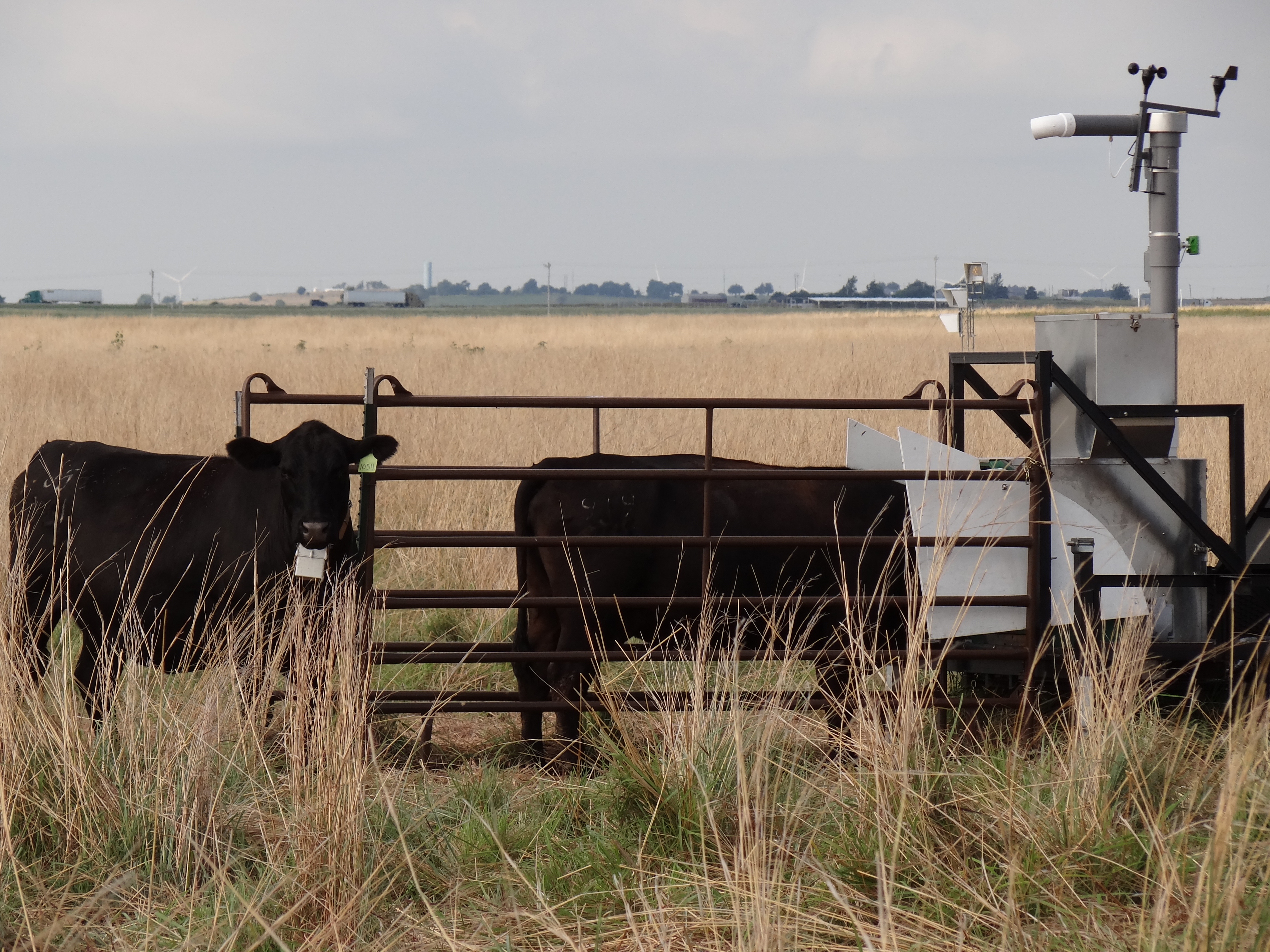
- Twelve eddy covariance systems
- Two Green Feed systems
- Twelve soil moisture sensor arrays
- Mesonet weather station
- LTAR weather station
- Multiple soil (microbial) flux sites
- Multiple sampling flumes
- Thirty five ARS Micronet monitoring sites
- Genomics lab and greenhouse
- Chemistry labs
- NRCS SCAN site
- Eight instrumented unit source watersheds: neutron access tubes, ground water level wells, V-notch weirs, tipping bucket rain gages, automated water samplers
- Four COSMOS soil moisture measurement sites
- Field portable multi-band, and hyperspectral spectroradiometers
Classification System
Farm Resource Regions: Prairie Gateway
Major Farm Region: Beef cattle, winter wheat, pasture, forages, prairie
Hydrologic Unit Codes (HUC-2): 11–Arkansas-White-Red, 13–Washita River Basin
National Ecological Observatory Network (NEON): Domain D11 (Southern Plains)
NRCS Major Land: Central Rolling Red Plains
LTAR Research Emphases
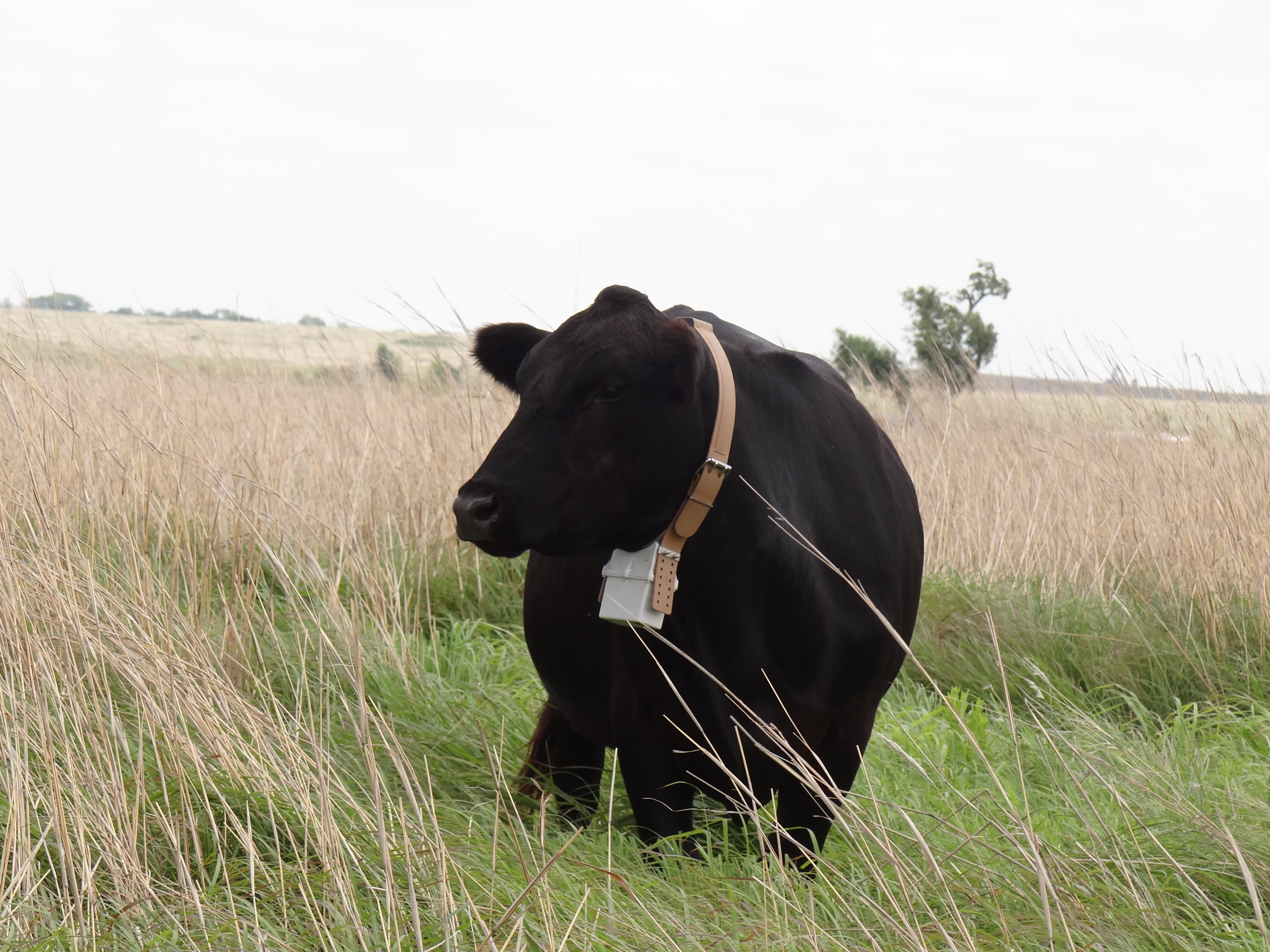
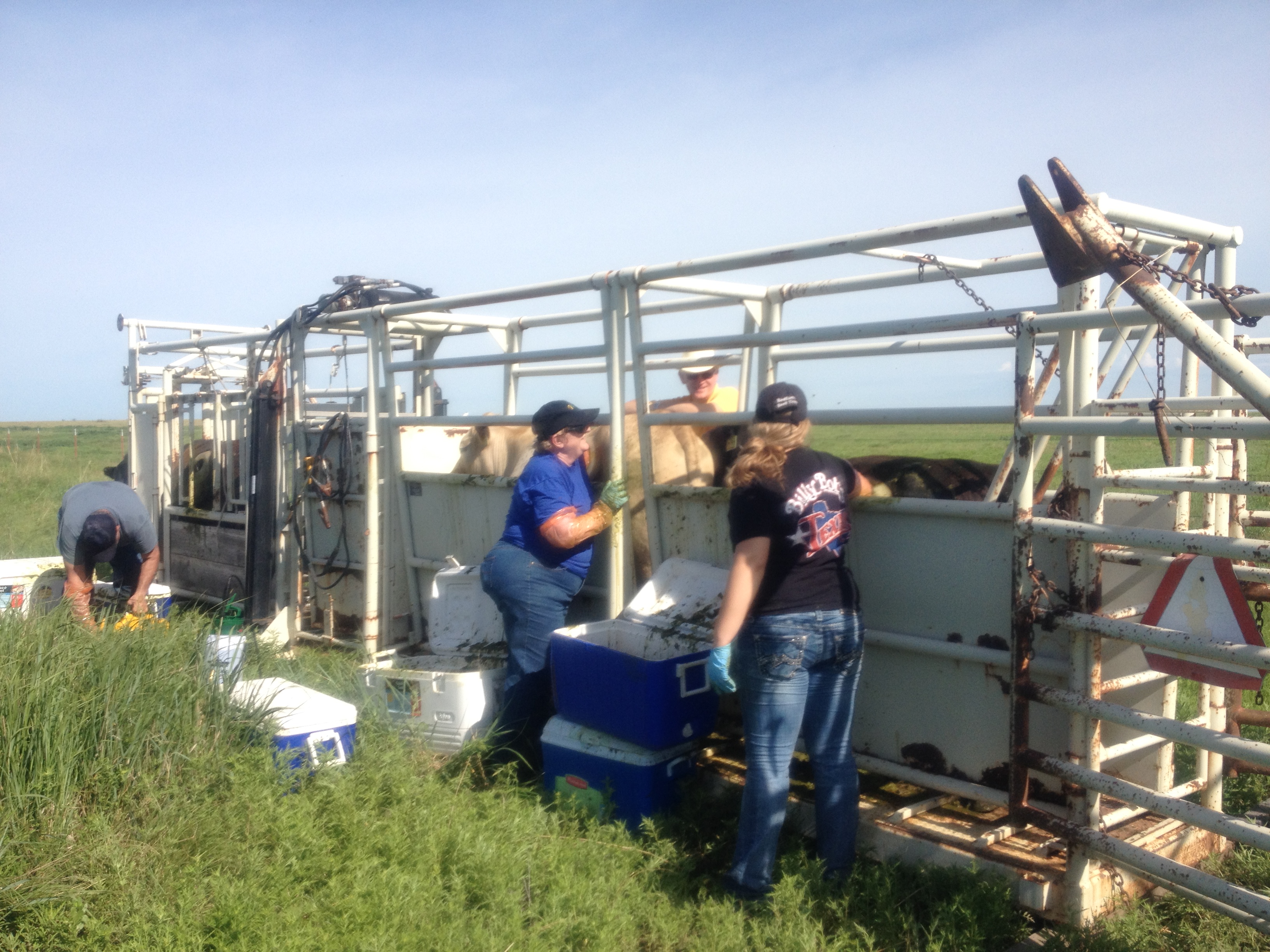
- Integrated crop-livestock systems
- Rangeland (prairie)-beef cattle systems
- Forage breeding and diversification of forage base
- Carbon, water, and energy fluxes
- Cropping system, hydrologic and erosion modelling
- Data downscaling, and weather impact and mitigation assessment
- Remote sensing of ET, drought, and vegetation
- Soil biology and ecology
- Reservoir sedimentation research
Muti-site Initiatives
- Common experiment synthesis (Spiegal/Bestelmeyer)
- Sustainable intensification review (Kleinman)
- Water balance/budgets (Baffaut)
- Farm modeling – IFSM (Kleinman)
- Wind erosion network (Webb)
- Soil Biology Group/DET for soil biology modeling (Kleinman)
Major Accomplishments
List of accomplishments
Other Networks (where data is shared)
- Oklahoma Mesonet
- ARS Micronet
- National Wind Erosion Network
- STEWARDS
- Grazing CAP (Kansas State University led, NIFA funded)
- Cosmos
- Cropland CEAP
- Pasture CEAP
- SCAN
Site Name
Southern Plains
Website
https://www.ars.usda.gov/plains-area/el-reno-ok/grazinglands-research-laboratory
Location
Central to Southwest Oklahoma
Established
1961
Area (km2)
Grazinglands Research Laboratory (GRL): 27 km2
The Little Washita River Experimental Watershed: 611 km2
The Fort Cobb Reservoir Experimental Watershed: 813 km2
Leader(s)
Pat Starks (LD,RL), Jim Neel (RL), Ann-Marie Fortuna (LTAR Site Lead), Daniel Moriasi, John Zhang, Brian Northup, Travis Witt, Pradeep Wagle, Ken Turner

ABOUT LTAR
The USDA Agricultural Research Service (ARS) Long-Term Agroecosystem Research network consists of 18 Federal and university agricultural research sites with an average of over 50 years of history. The goal of this research network is to ensure sustained crop and livestock production and ecosystem services from agroecosystems, and to forecast and verify the effects of environmental trends, public policies, and emerging technologies.