CMRB
Central Mississippi River BasinWho Operates and Manages this LTAR Site?
The Cropping Systems and Water Quality Research unit of the USDA-ARS manages the Central Mississippi River Basin (CMRB) site of LTAR network.
Description
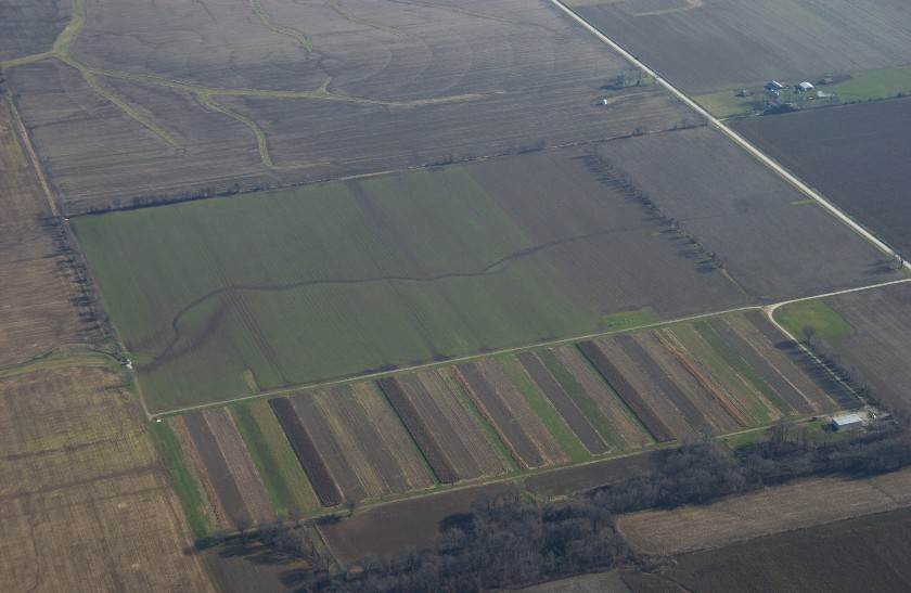
Research within the CMRB primarily focuses on the Goodwater Creek Experimental Watershed (GCEW) located in central NE Missouri. The GCEW contains claypan and claypan-like soils, which give the region key hydrologic features and greatly influence agricultural production systems in the region. The main result is a high tendency for runoff, despite only gently sloping terrain. The runoff causes both erosion and offsite transport of agricultural chemicals. The mission of CMRB is to anticipate needs, develop knowledge, and provide technological solutions to optimize agricultural production systems, at the sub-field to watershed scale, for both economic and environmental sustainability.
Geography
Goodwater Creek Experimental Watershed (GCEW) is in the SW headwaters of Long Branch Creek watershed within the Salt River Basin of northeastern Missouri. The Salt River is the source of water to Mark Twain Lake, a 75 km2 Army Corp of Engineers reservoir that is the major public water supplier in the region. The Salt River system encompasses 6450 km2 within portions of 12 northeastern Missouri counties. The topography is a plateau dissected by the river systems, with broad, flat divides. Within the Lower Long Branch watershed, the elevation ranges from approximately 290 m on the divide to 192 m at the sampling point. Within the CMRB, the Salt River Basin and areas to its north and east drain directly to the Mississippi River; areas south and west within the region drain to the Missouri River, which joins the Mississippi River near Saint Louis.
Instrumentation
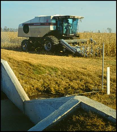
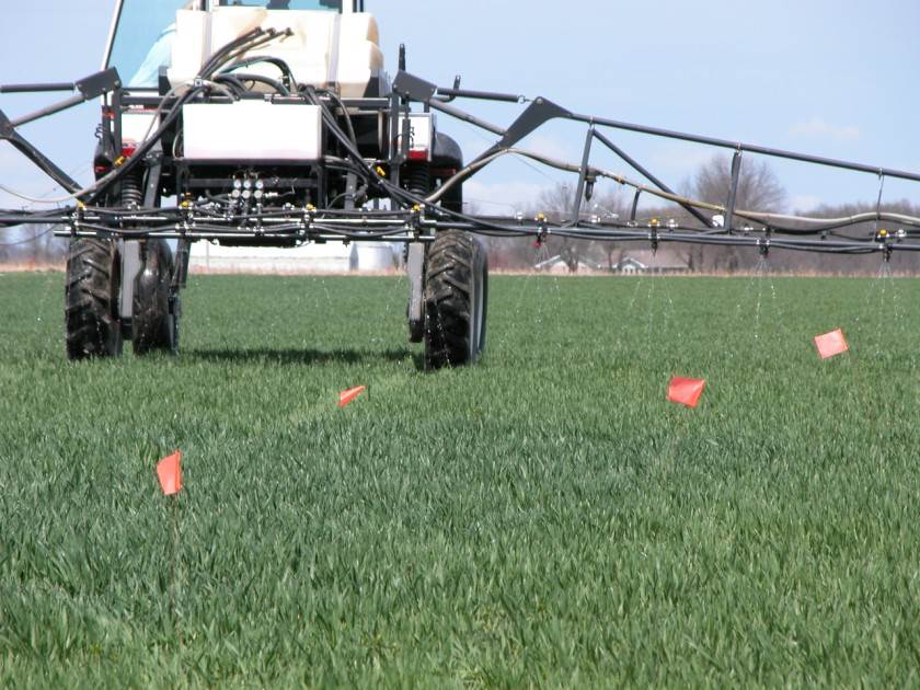
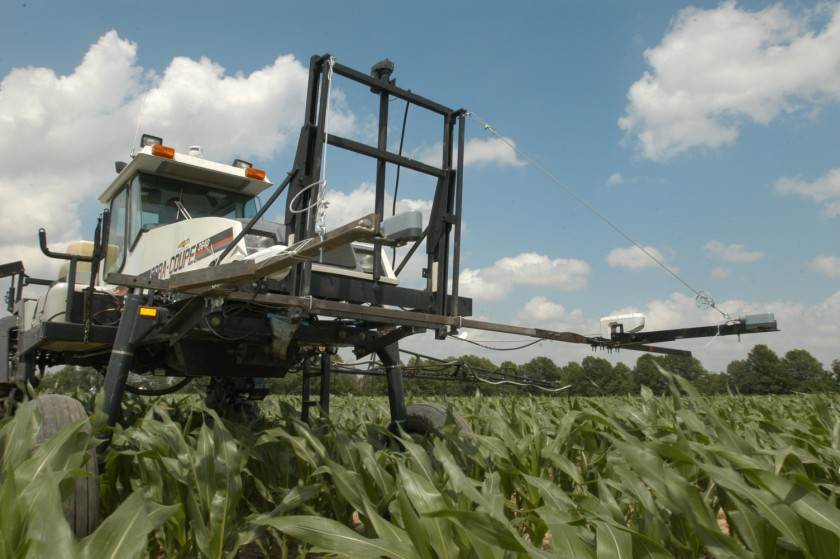
CMRB field instrumentation currently includes multiple weather stations managed by ARS and University of Missouri, a 9-gauge rain gauge network within GCEW managed by ARS, 4 eddy covariance flux towers including 2 on fields, 1 on a reference remnant Prairie, and 1 in a forested site (managed by the University of Missouri), and surface runoff gauges and samplers at 4 stream sites, 2 field sites and 18 0.35-ha plots all managed by ARS. Runoff samplers operate on flow-proportional basis with periodic supplemental grab samples. Groundwater wells were deployed widely during the 1990s but have been focused recently toward 5 nests of multiple depth wells in a specific field. Networks of soil moisture sensors in the plots and one field are planned. Laboratory instrumentation supports analyses of major nutrients, commonly used herbicides, and some gasses of interest. Biological expertise and equipment enables evaluation of soil health.
Classification System
Farm Resource Regions: Heartland
Major Farm Region: Corn Belt
Hydrologic Unit Codes (HUC-2): 07 – Upper Mississippi River, 10 – Missouri River
National Ecological Observatory Network (NEON): Domain D6 (Prairie Peninsula)
NRCS Major Land: 113 Central Claypan Area
LTAR Research Emphases
- Precision agriculture
- Hydrology (streamflow and surface water runoff)
- Water Quality (Nitrogen, Phosphorus, Sediment, Pesticides)
- Soil Health (soil biological, chemical, and physical properties)
- Carbon, water, and energy measurements with flux towers
- Crop rotations and cover crops
- Variable rate nutrient management
Muti-site Initiatives
CMRB is participating in the following initiatives:
- Assessment of network P budgets
- Biodiversity in US agroecosystems
- Common experiment synthesis
- DOM characterization
- Innovations in Data Management
- Phenocam
- Precipitation intensification
- Regionalization
- Soil Biology Group/DET for soil biology
- Stocks and flows
- Management and productivity legacy data
- Water budgets
- Watershed lag time
- Water Use Efficiency
Major Accomplishments
List of accomplishments
Other Networks (where data is shared)
- Much of the weather, flow, and chemical concentration data are available in the STEWARDS database system, which houses CEAP Watershed Assessment Study data from croplands.
- WQ Portal. Chemical concentrations are also in the EPA-USGS-ARS Water Quality Portal.
- The NRCS SCAN station on site is available through their web service (site 2195).
- The CMRB weather data is in the AgCROS GeoEvent Server.
- Cameras contribute images of the two fields and the Prairie sites to the Phenocam Network.
Site Name
Central Mississippi River Basin
Website
https://www.ars.usda.gov/midwest-area/columbia-mo/cropping-systems-and-water-quality-research/
Location
Columbia, Missouri
Established
1971
Area (km2)
The scale has varied according to research emphasis, ranging from 72.5 km2 on initial establishment of the Goodwater Creek Experimental Watershed (GCEW) in 1971, adding plot (0.35 ha) and field (15-35 ha) scales within GCEW during the 1990s, expanding to the entire 6450 km2 Mark Twain Lake Basin during the first decade of the 2000s, and back to the current 490 km2 focus of Long Branch of the Salt River, which includes GCEW and empties into Mark Twain Lake.
Leader(s)
Ken Sudduth (RL), Claire Baffaut (Lead), Lori Abendroth, Newell Kitchen, Adam Schreiner-McGraw, Kristen Veum


ABOUT LTAR
The USDA Agricultural Research Service (ARS) Long-Term Agroecosystem Research network consists of 18 Federal and university agricultural research sites with an average of over 50 years of history. The goal of this research network is to ensure sustained crop and livestock production and ecosystem services from agroecosystems, and to forecast and verify the effects of environmental trends, public policies, and emerging technologies.