GB
Great BasinWho Operates and Manages this LTAR Site?
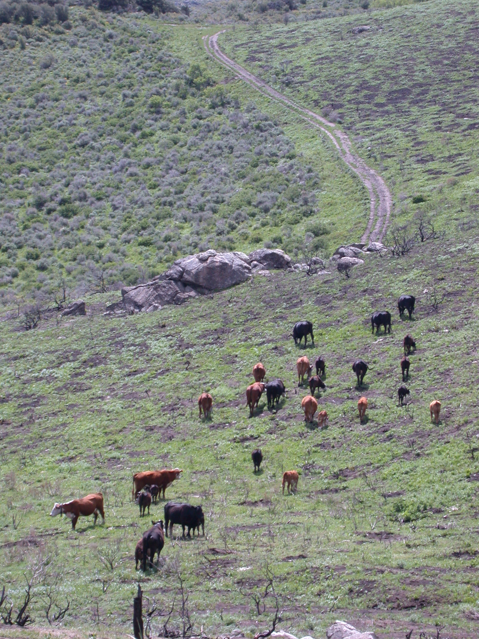
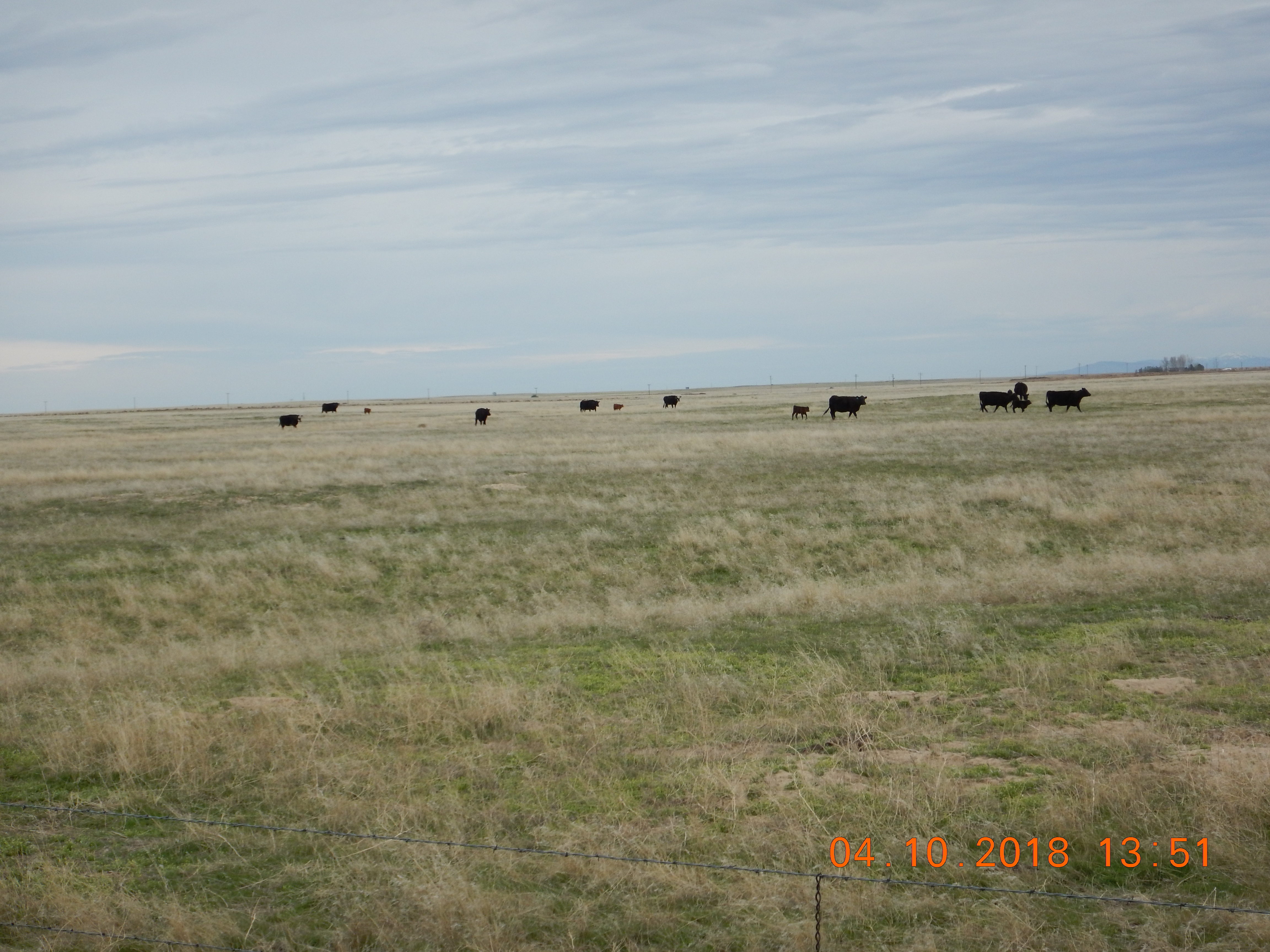
The Northwest Watershed Research Center (NWRC) of USDA-ARS manages the 239 km2 Reynolds Creek Experimental Watershed (RCEW) located in the Owyhee Mountains of southwestern Idaho, approximately 80 km southwest of Boise, ID. Land ownership is a combination of federal land managed by the Bureau of Land Management (BLM), state land, and private lands. Private cattle grazing is the primary land use managed through BLM allotments.
Description
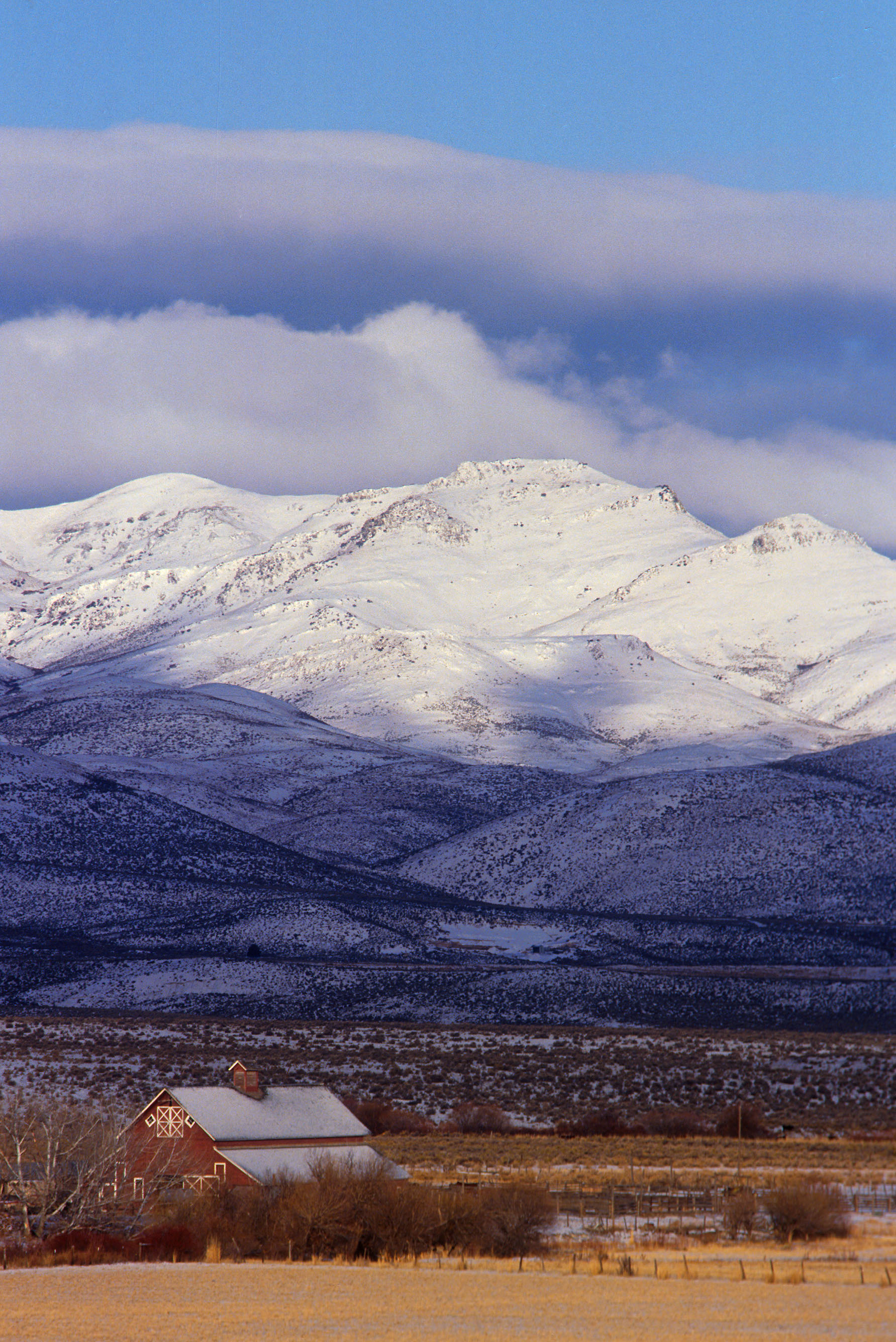
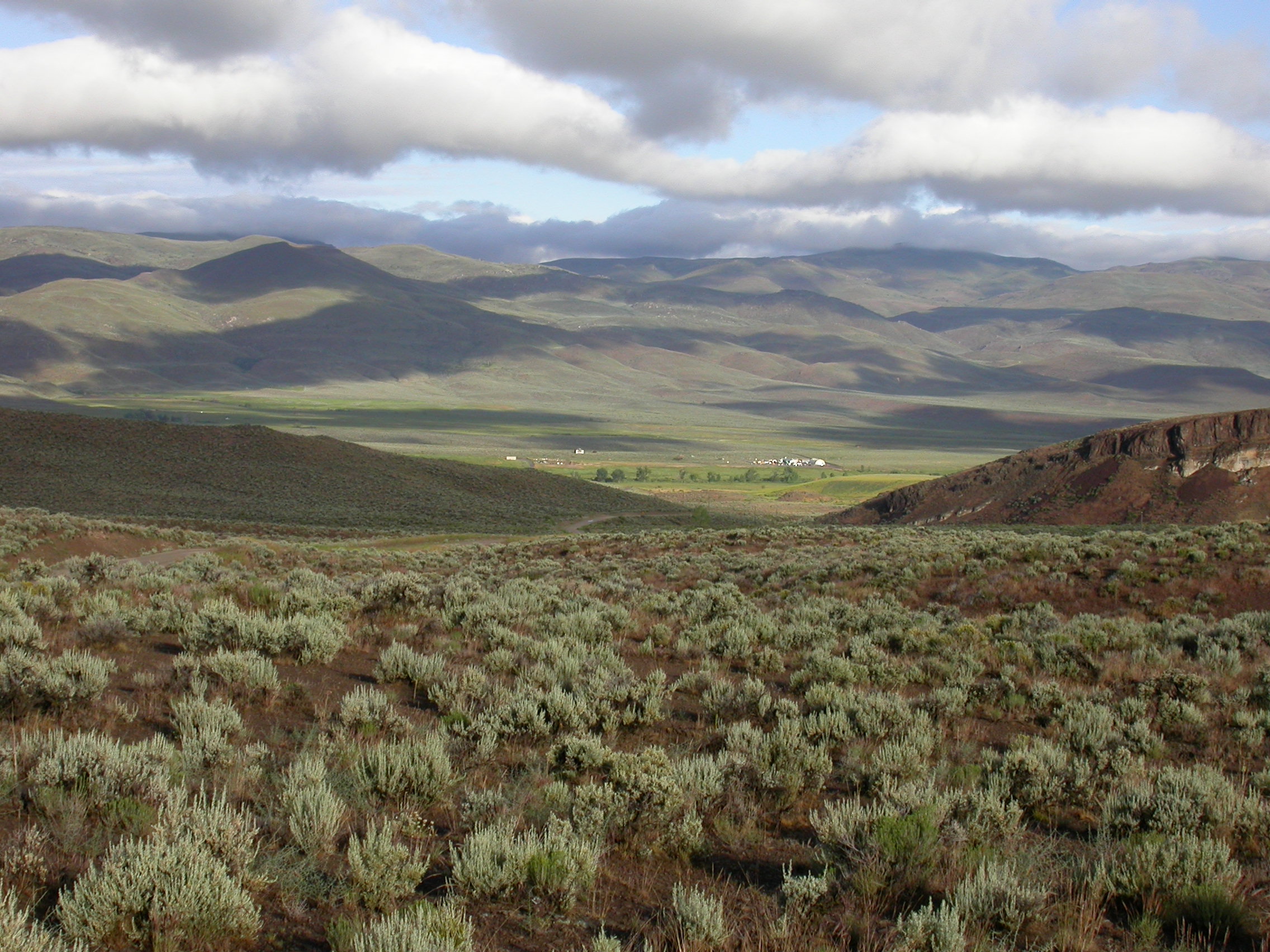
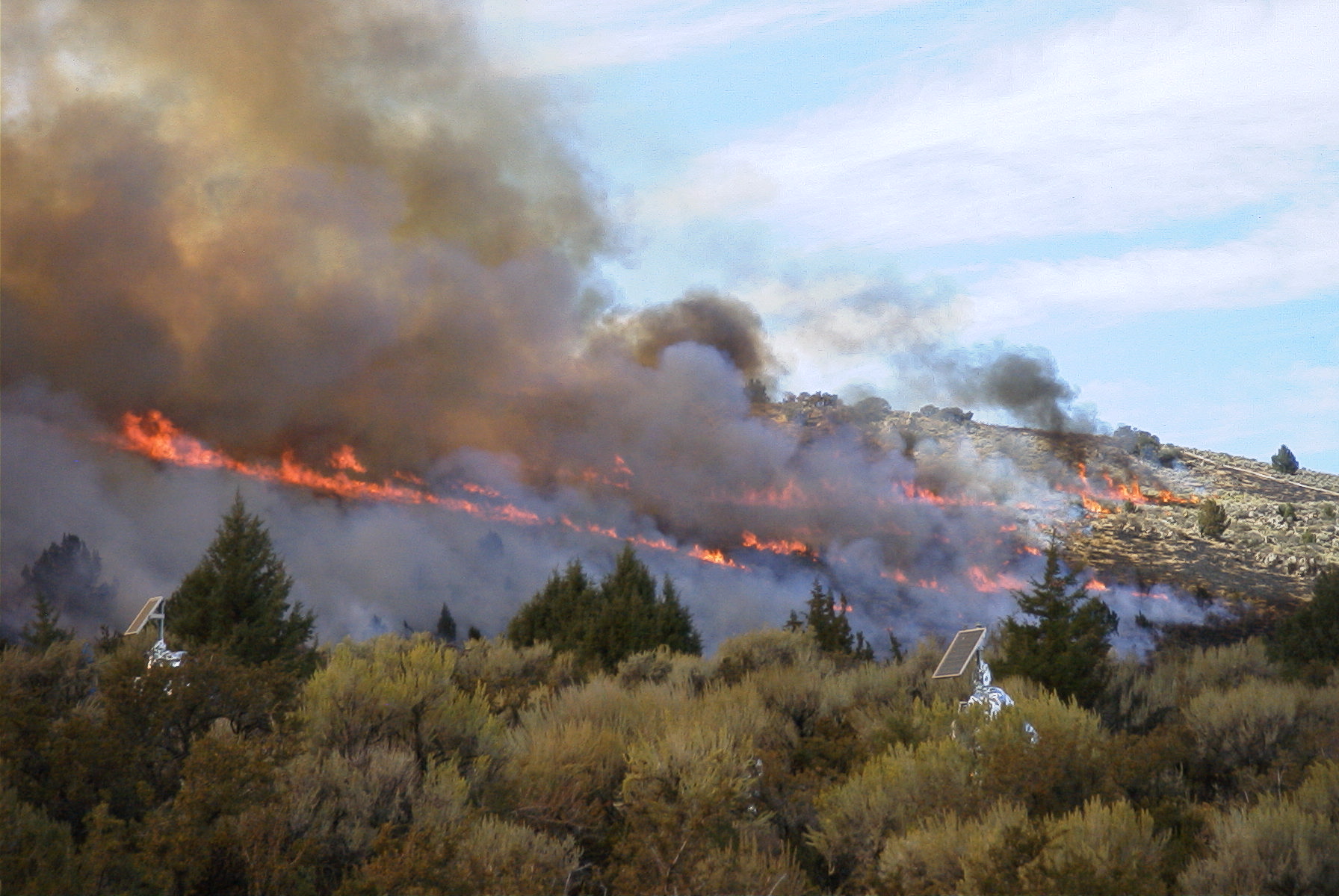
Reynolds Creek Experimental Watershed (RCEW) began in 1960 to support research addressing issues of water supply, seasonal snow, soil freezing, water quality, and rangeland hydrology in the semiarid rangelands of the interior Pacific Northwest. RCEW is the only ARS watershed where snow is the principal precipitation input affecting both the timing and amount of stream-flow. Field instrumentation was designed to encompass the spatial complexity of topography, weather and vegetation of a western mountainous rangeland watershed. The measurement program was planned for a long-term time series to encompass temporal variability in weather and hydrologic regimes. In recent years, the NWRC has expanded its core research mission to also include the hydrologic and ecological effects of landscape-scale disturbance from wildfire and invasive weeds, and rangeland restoration.
Geography
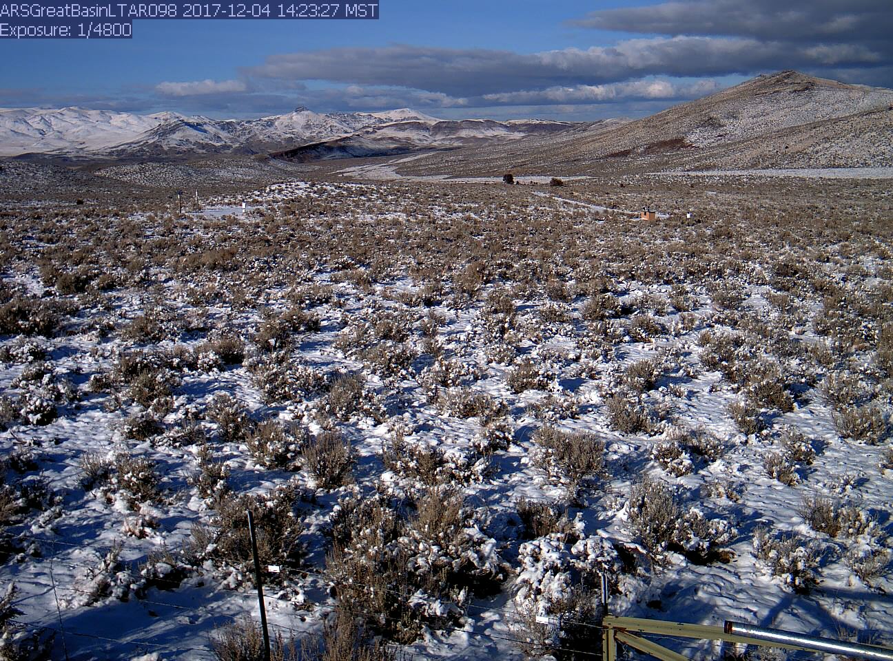
The RCEW is located in southwest Idaho in the northern part of the Great Basin floristic province. Elevation within the watershed ranges from about 1000 m to more than 2000 m above sea level. The geology of the RCEW is predominantly basalt, with significant portions of granite, lacusterine sediments and welded tuff. Consistent with the climatic and geologic variability, there is also a wide range of soils in the RCEW. Plant communities associated with Wyoming big sagebrush, mountain big sagebrush, low sagebrush, aspen and Douglas fir are found within RCEW. Since these plant communities are extensive throughout the region, we can extend research results well beyond the borders of the watershed.
Instrumentation
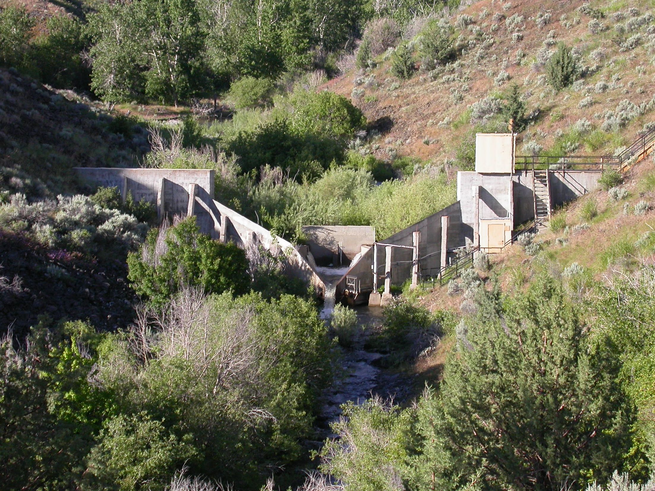
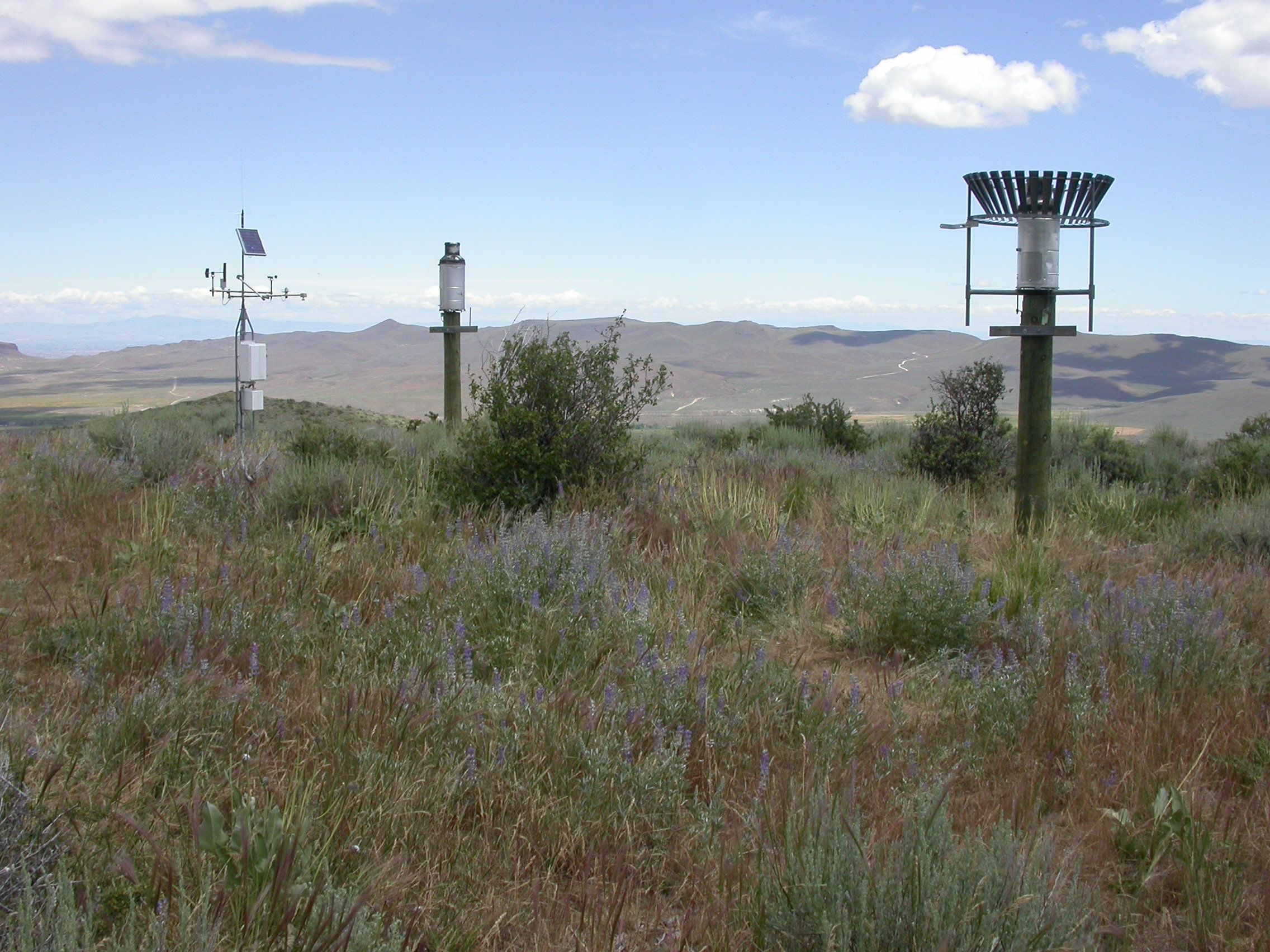
Most heavily instrumented semiarid watershed in the world. Data collected have been used in hydrologic, ecohydrologic and, more recently, biogeochemical research. The data record extends back to 1961, when a network of precipitation gauges, snow courses, ten weirs, and three meteorological stations, representing the low, mid and high elevations, was established. Instrumentation and research has focused on 10 sub-watersheds which have been subject to especially intense monitoring. In addition to the basic hydrological and meteorological data collection, RCEW instrumentation includes: Eddy Correlation (5 stations, 15, years), Sap flux (currently at 5 sites), Soil moisture by neutron probe (35 years, 14 locations) and electronic senor profiles (32, various durations), Soil temperature (5 locations, 34 years, 32 locations, various durations), Groundwater (9 locations), Vegetation (production, cover, species, leaf area index, 5 primary locations), Soil respiration (5 sites), snow distribution (3 subwatersheds) and stream chemistry at 5 locations. We have also collected data using fiber-optic temperature sensing, soil moisture with COSMOS and are currently working with terrestrial lidar and drones for vegetation and snow measurement.
Classification System
Farm Resource Regions: Fruitful Rim
Major Farm Region: Mountain Region
Hydrologic Unit Codes (HUC-2): Region 17 (Pacific Northwest)
National Ecological Observatory Network (NEON): Domains D15 (Great Basin)
NRCS Major Land: 25 – Owyhee High Plateau
LTAR Research Emphases
- Water and energy Balance
- Carbon balance
- Water supply
- Process-level model development/application
- Rangeland productivity
- Erosion, water and wind
- Response to fire
- Applications of remote sensing
- Water Quality, especially sediment
- Grazing systems
Muti-site Initiatives
The GB LTAR is participating in the following initiatives:
- Common experiment synthesis (Spiegal/Bestelmeyer)
- Sustainable intensification review (Kleinman)
- Water balance (Baffaut)
- Farm modeling – IFSM (Kleinman)
- Wind erosion network (Webb)
- Phenocam (Browning)
- Watershed modeling (Kleinman)
- Downscaling gridded data (Heilman)
- Precipitation Intensification (Demaria, Goodrich)
- CPER-Vegetation Production
- Seasonal Weather Forecasting (Schantz, Hardegree)
Major Accomplishments
List of accomplishments
Other Networks (where data is shared)
- Ameriflux
- SCAN
- CEAP
- COSMOS
- Phenocam
- Airborne Snow Observatory
Site Name
Reynolds Creek Experimental Watershed, Great Basin Long Term Agroecosystem Research Network Site, Southwestern Idaho
Website
https://www.ars.usda.gov/pacific-west-area/boise-id/northwest-watershed-research-center/
Location
Reynolds Creek Experimental Watershed, Owyhee County, Idaho
Established
1960
Area (km2)
Reynolds Creek Experimental Watershed is 239 km2, 13 sub-watersheds range in size from 0.9 ha to 55 km2
Leader(s)
Jason Williams
ABOUT LTAR
The USDA Agricultural Research Service (ARS) Long-Term Agroecosystem Research network consists of 18 Federal and university agricultural research sites with an average of over 50 years of history. The goal of this research network is to ensure sustained crop and livestock production and ecosystem services from agroecosystems, and to forecast and verify the effects of environmental trends, public policies, and emerging technologies.