TG
Texas GulfWho Operates and Manages this LTAR Site?
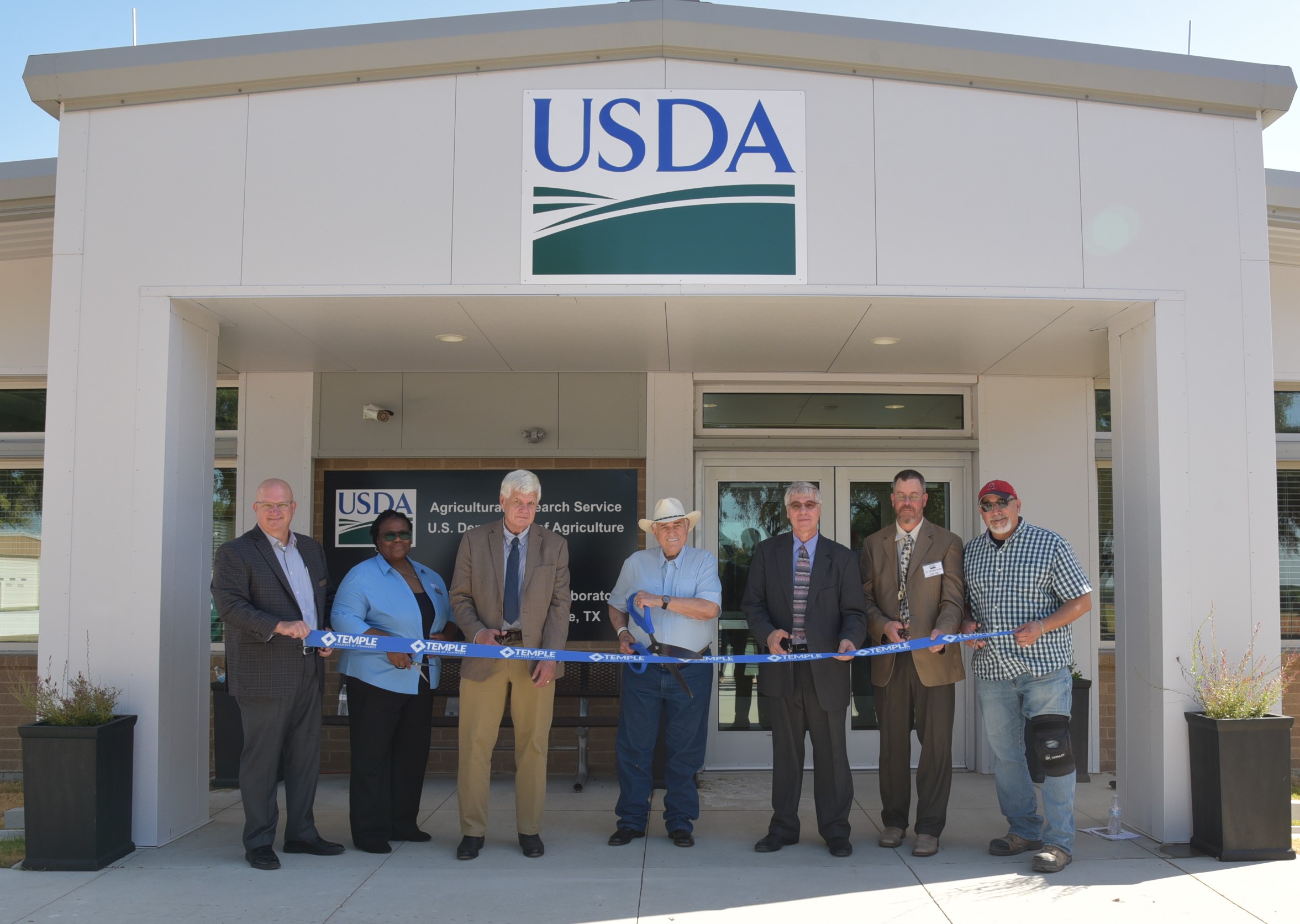
Texas Gulf (TG) is operated by the USDA-Agricultural Research Service, Grassland, Soil and Water Research Laboratory (GSWRL) and consists of two research sites: Temple, Texas, and the Riesel Watersheds located outside of Riesel, Texas. Our Lab utilizes 550 acres (~223 ha) of land in southeast Temple, Texas, and 840 acres (~340 ha) near Riesel, Texas. We are housed in 25,000+ft2 of office, laboratory, and greenhouse space.
Description
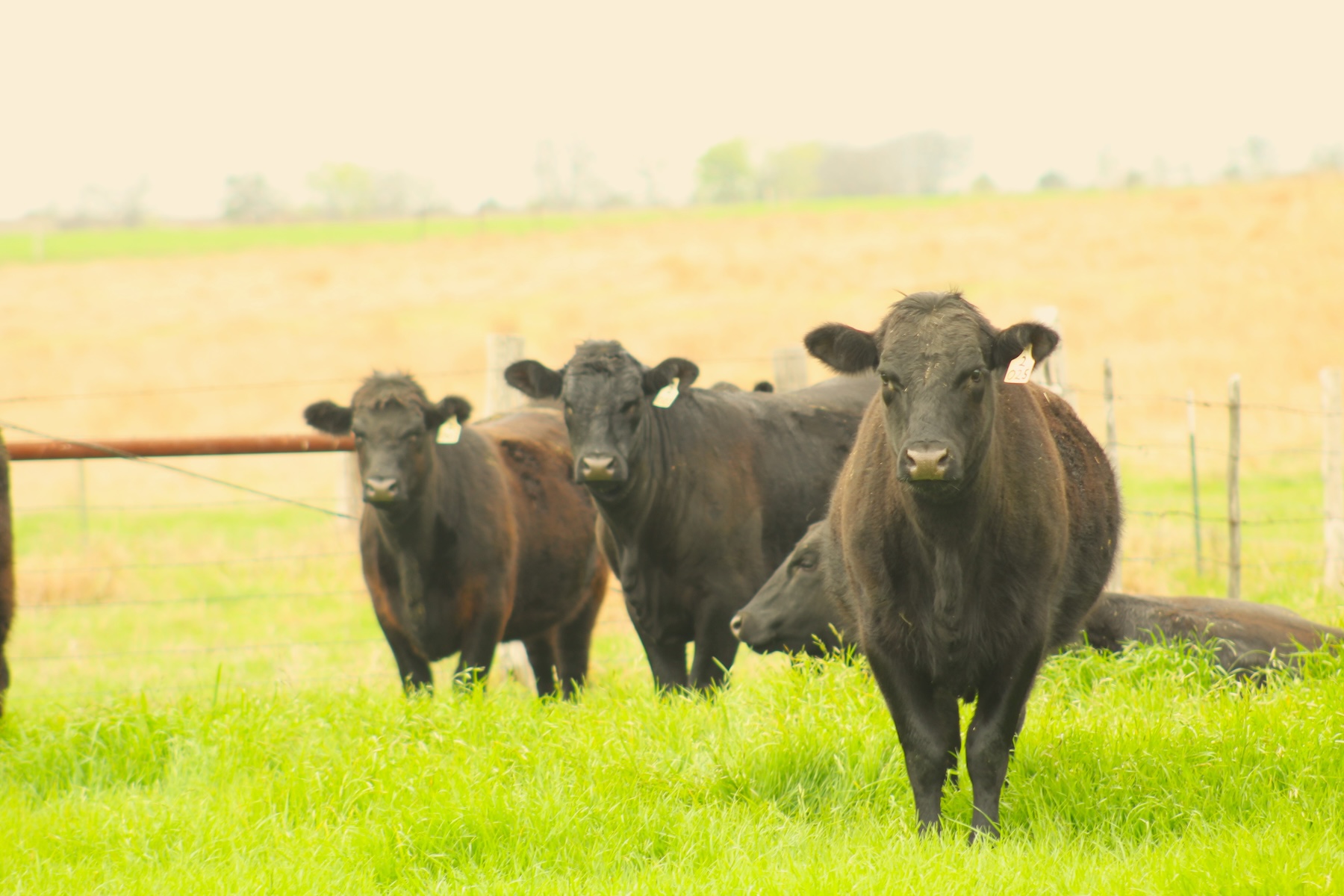
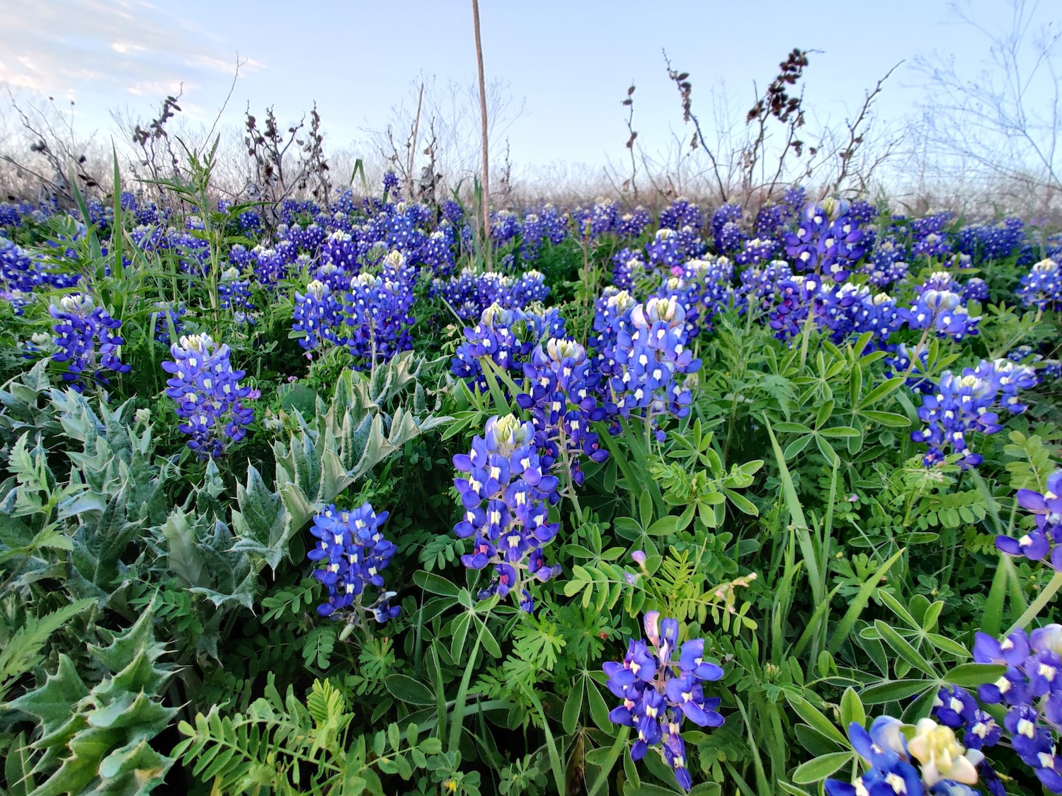
Texas Gulf encompasses the Cross Timbers, East Central Texas Plains, and Texas Blackland Prairie ecoregions. This area has historically been dominated by southern tallgrass prairie species including big bluestem (Andropogon gerardii), little bluestem (Schizachyrium scoparium), indiangrass (Sorghastrum nutans), and switchgrass (Panicum virgatum). Oak savannahs are also common where live oak species (Quercus fusiformis Small, Quercus virginiana Mill.) are more common in the western Cross Timbers while post oak species (Quercus stellata Wangenh.) is more common in the East Central Texas Plains ecoregion. Most agricultural land within these ecoregions, however, is now being utilized for row crop agriculture or is seeded to improved pasture grasses like Bermudagrass (Cynodon dactylon) as deep fertile soils throughout much of the central portion of landscape have supported intensive agricultural operations.
The people of the TG LTAR are committed to preserving the heritage of integrated grazing and crop production operations and seek to serve stakeholders in the region while addressing the urgent need for improved ranching and farming practices in the face of a changing planet. At its heart, the overall goals at TG are to develop technology and solutions that increase efficient use of soil and water resources, enhance forage and crop production, and support sustainable agricultural production in healthy ecosystems.
Some of the studies from TG:
Geography
Both TG research sites are located within the Texas Blackland Prairie and stand at the crucial intersection of grazing lands for livestock and farmlands for crop production.
Laboratories
The GSWRL is home to the ALMANAC, EPIC, SWAT, and SWAT+ models that have provided a wealth of information on how weather, management, plant-plant interactions, and land use affect plant community composition and production.
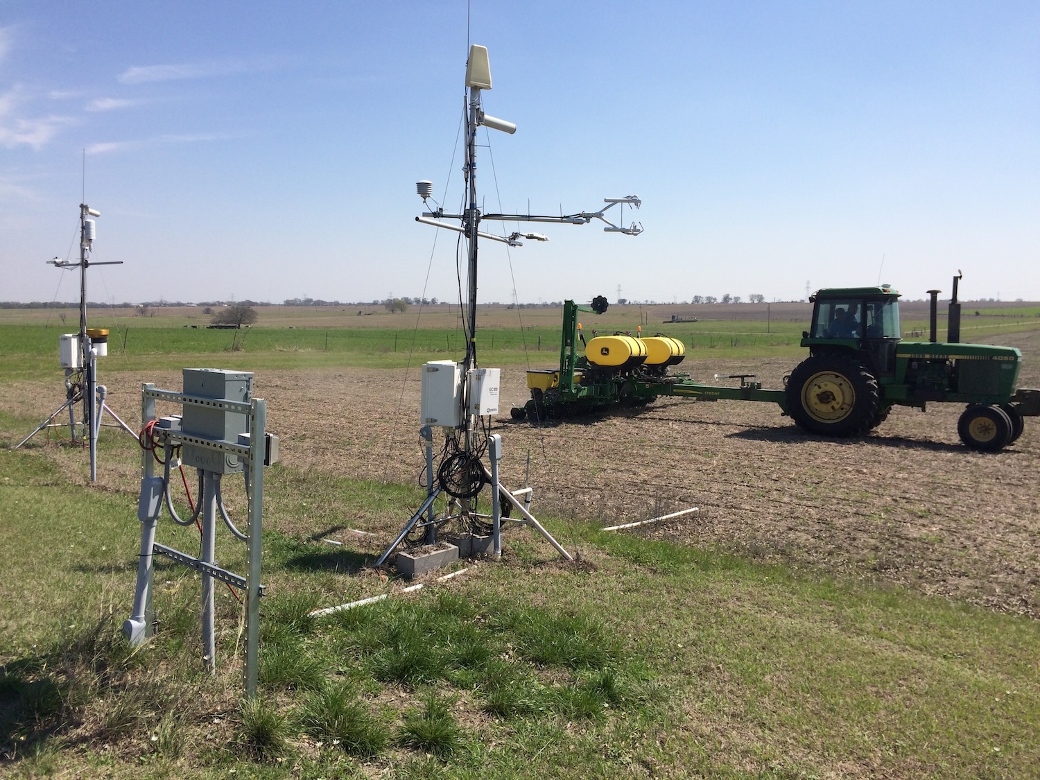
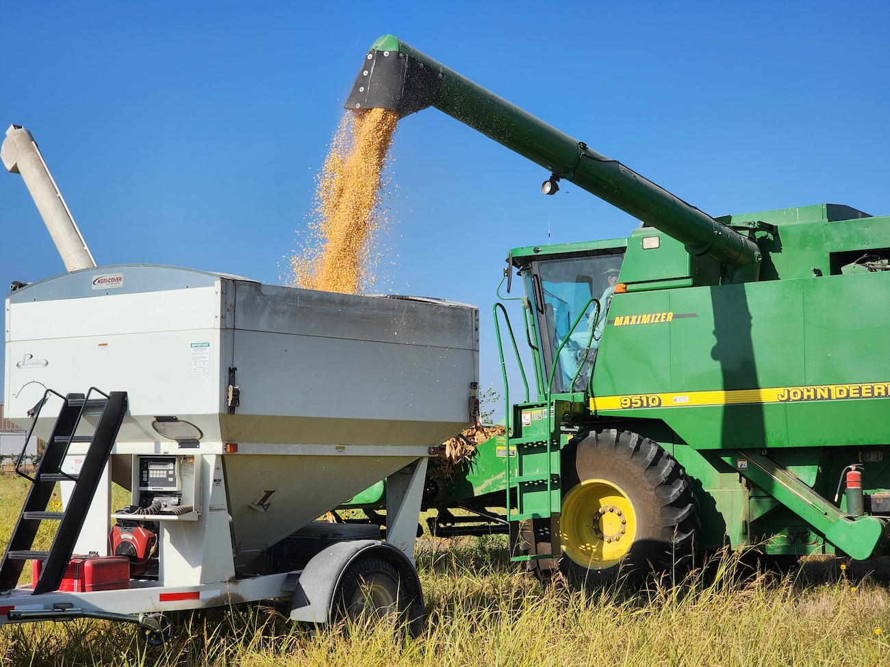
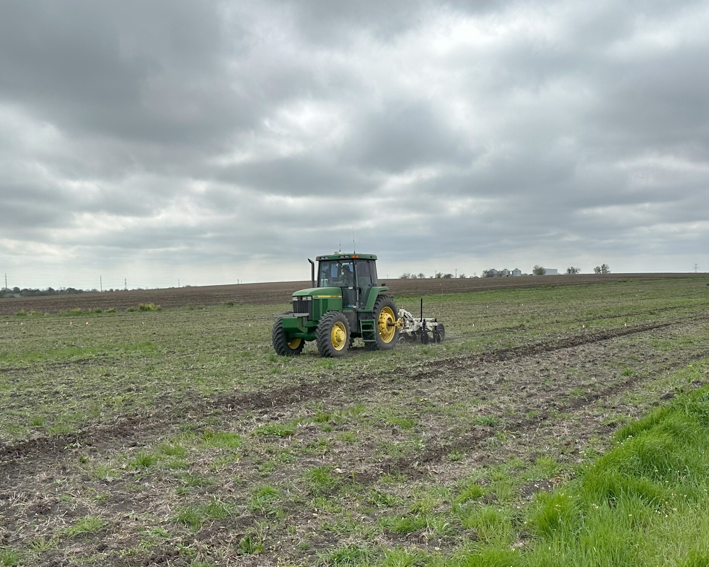
Applied research programs at the GSWRL include field-based soil, water, and nutrient use practices for improved and sustainable corn and cotton production. Field-based studies are also being used to understand the varying effects of global change in grassland systems.
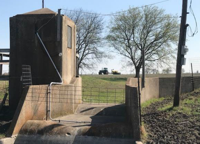
The Riesel Watersheds are a historic landmark of agricultural and biological engineering with over 75 years of data on discharge, sediment loss, land management, and meteorological data. This area continues to collect vital information on watershed dynamics such as water quality, quantity, and flow. Long-term cropland and grazing land studies are actively being conducted across this region. In addition, while the grazing land has been converted into improved pasture grass species, there are remnant prairies located throughout the site.
Further details on the current suite of research projects is available on the attached flyers: Texas Gulf Cropland Research, Texas Gulf Grassland Research, and Texas Gulf Modeling Research.
Classification System
Farm Resource Regions:
Hydrologic Unit Codes (HUC-2):
National Ecological Observatory Network (NEON):
NRCS Major Land:
LTAR Research Emphases
Muti-site Initiatives
Major Accomplishments
Other Networks (where data is shared)
Site Name
Texas Gulf
Website
https://www.ars.usda.gov/plains-area/temple-tx/grassland-soil-and-water-research-laboratory
Location
Temple, TX
Established
1937
Area (km2)
N/A
Leader(s)
Doug Smith (RL)
ABOUT LTAR
The USDA Agricultural Research Service (ARS) Long-Term Agroecosystem Research network consists of 18 Federal and university agricultural research sites with an average of over 50 years of history. The goal of this research network is to ensure sustained crop and livestock production and ecosystem services from agroecosystems, and to forecast and verify the effects of environmental trends, public policies, and emerging technologies.