CPER
Central Plains Experimental RangeWho Operates and Manages this LTAR Site?
The USDA-ARS Rangeland Resources and Systems Research Unit (RRSRU) owns and manages the 62.8 km2 (15,500 acres) Central Plains Experimental Range (CPER), which is located northeast of Nunn, CO.
Description
The CPER is the primary experimental range for USDA in the Western Great Plains. The mission of RRSRU is to develop science-based management strategies for the provision of ecosystem goods and services from semiarid rangeland ecosystems. These strategies will be used to enhance decision-making by land managers using monitoring-informed adaptive management to improve resiliency and weather-related reduce risk.
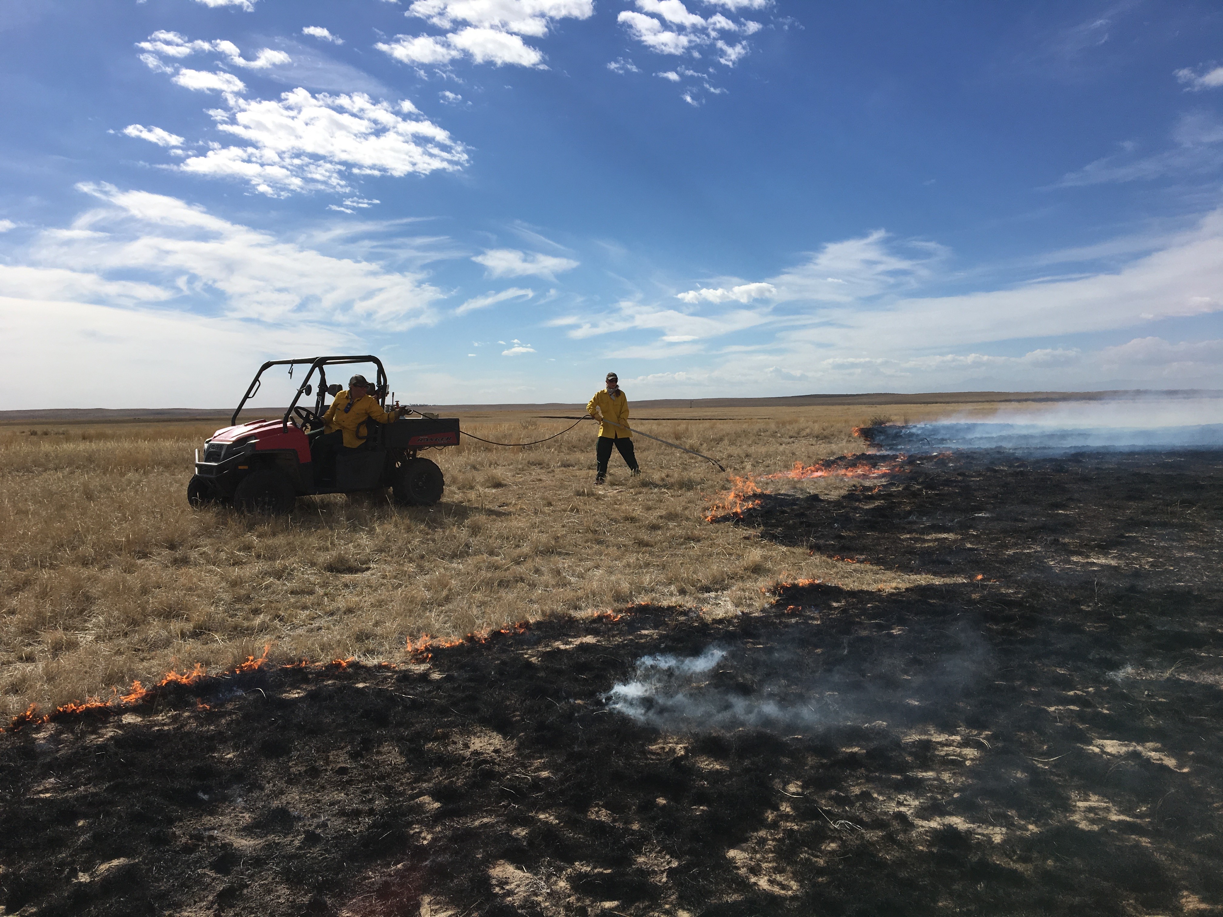
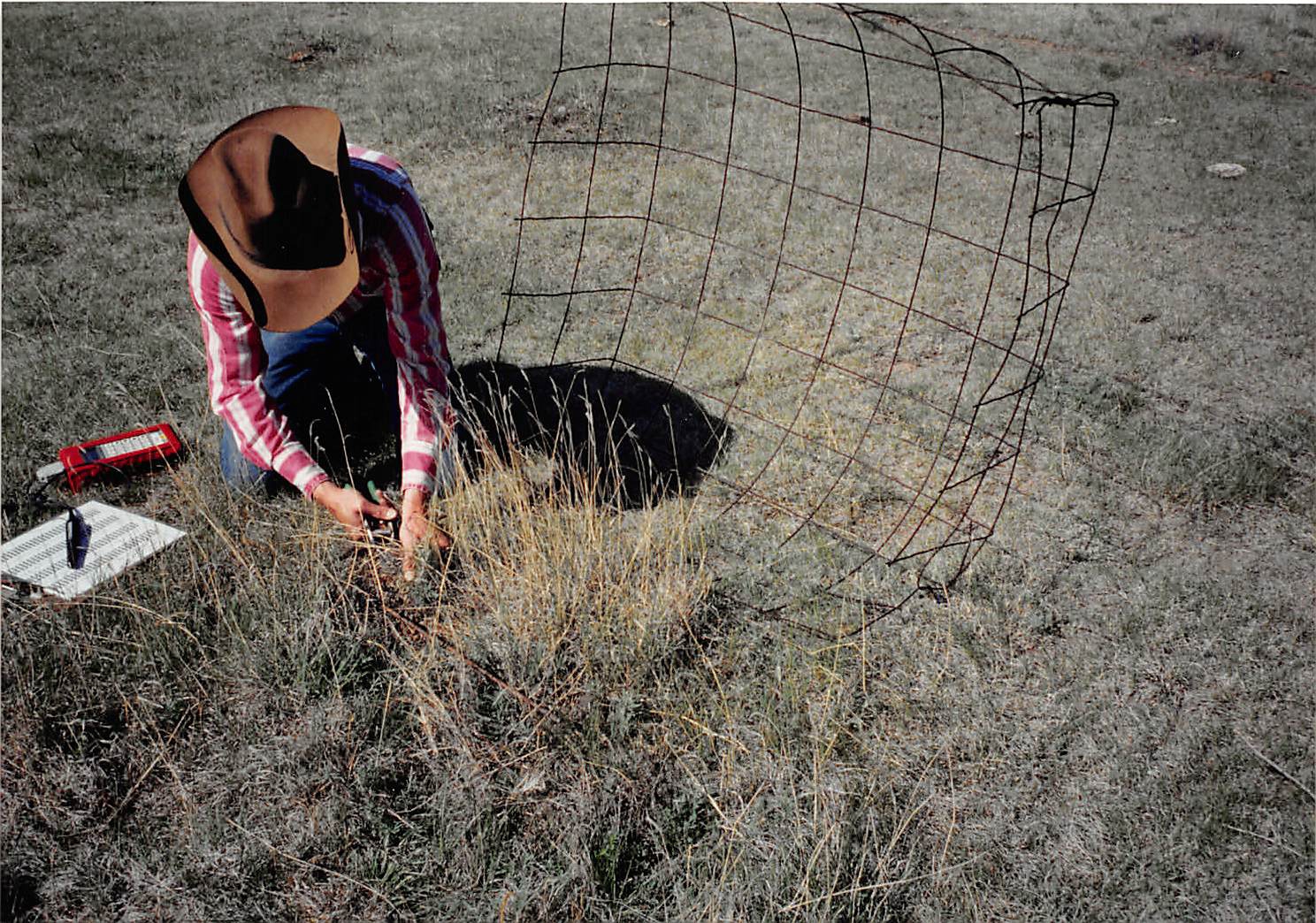
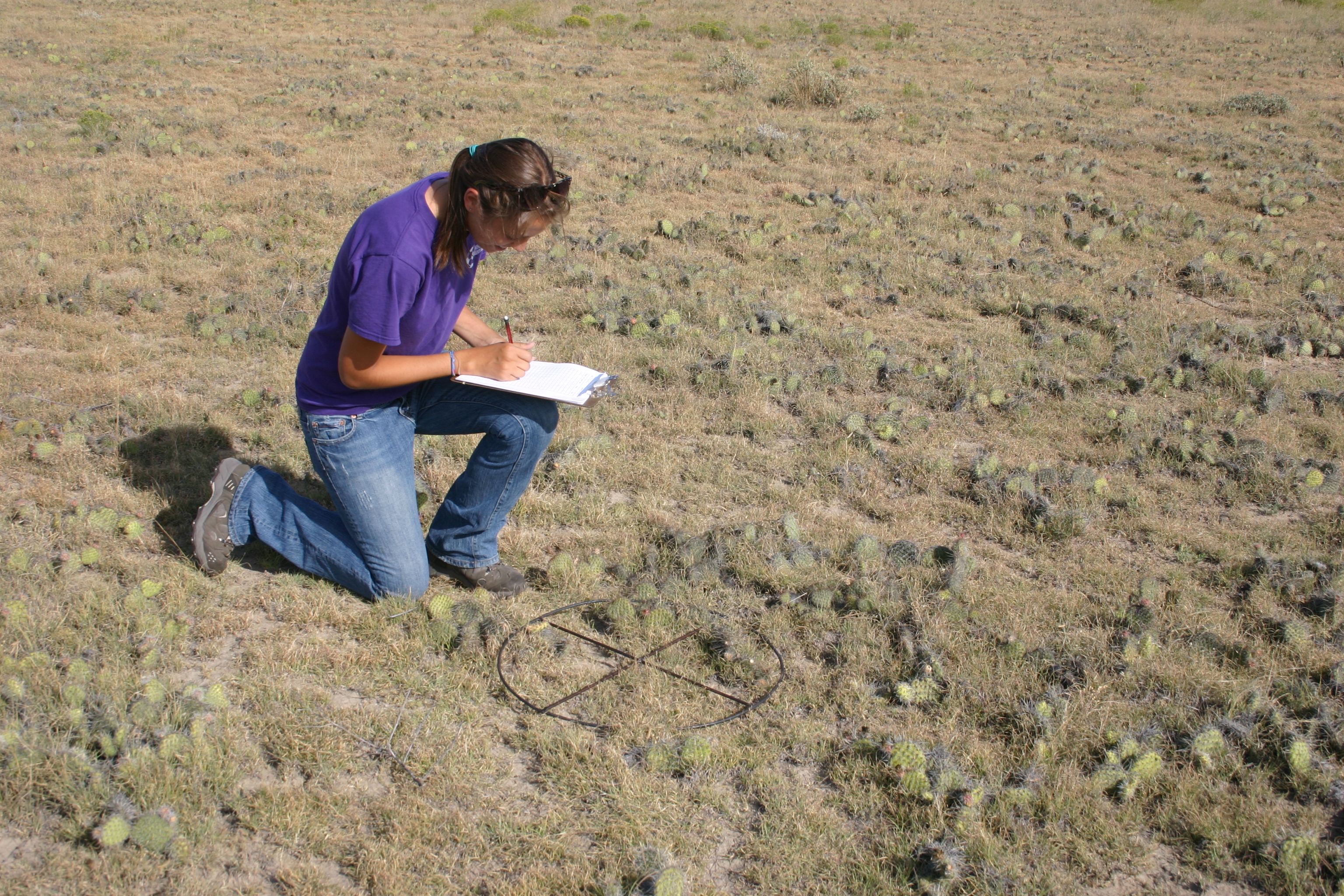
Our current conceptual framework views weather, disturbance regimes, and physiography as the key interacting factors that structure population and community processes, and influence ecosystem productivity, states and services. Current research is addressing production-conservation issues and associated tradeoffs with beef production when other ecosystem services are incorporated into management objectives. The CPER has a >75 year history of research on vegetation and livestock producing key datasets encompassing: 1) aboveground forage production and plant species composition, 2) livestock weight gains, 3) climatological data, 4) soil carbon, 5) carbon and trace gas fluxes, 6) rainfall simulation experiments, 7) weather and flux patterns, and 8) remote sensing with high spatial (<10 mm) and spectral (>400 band) resolution.
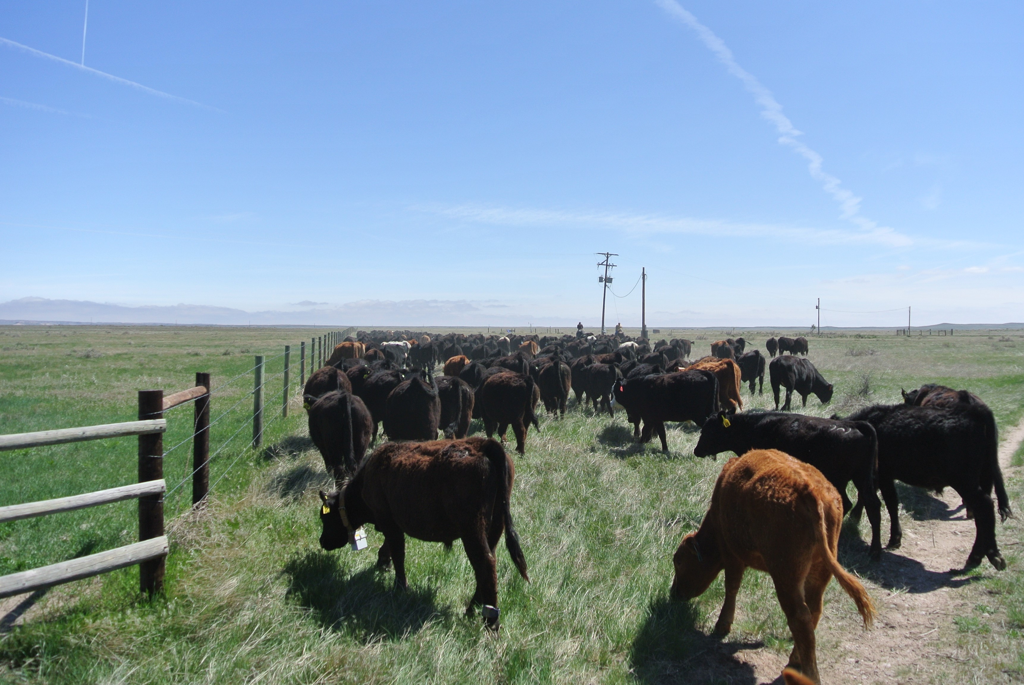
The CPER has a tremendous network of partnerships, both scientific and producer/customer related. The Crow Valley Livestock Cooperative, Inc. is the oldest grazing association in the US and has been a collaborative partner since the formation of CPER in 1937, and all cattle provided for research on CPER have been from local ranches. The Forest Service is a key partner with collaborations in research on CPER and the adjacent Pawnee National Grassland. Colorado State University has been the leading scientific partner since the late 1960s beginning with the International Biological Program and this collaboration was extended from 1982 to 2012 with the Shortgrass Steppe Long-term Ecological Research (SGS-LTER) project. New collaborations with the National Ecological Observatory Network (NEON) through CPER being the core site for Domain 10 provide exciting opportunities for additional scientific investigations. In addition, the CPER is a key site in the following networks: Greenhouse Gas Reduction through Agricultural Carbon Enhancement network (GRACEnet), and the Nutrient Network (NutNet). Current active research projects involve faculty from the following universities: Colorado State University, University of Wyoming, Texas A&M University, University of California-Davis, University of Northern Colorado, Denver University, as well as the Forest Service and the Natural Resources Conservation Service, Colorado Division of Wildlife, Environmental Defense Fund, Bird Conservancy of the Rockies, and The Nature Conservancy.
Geography
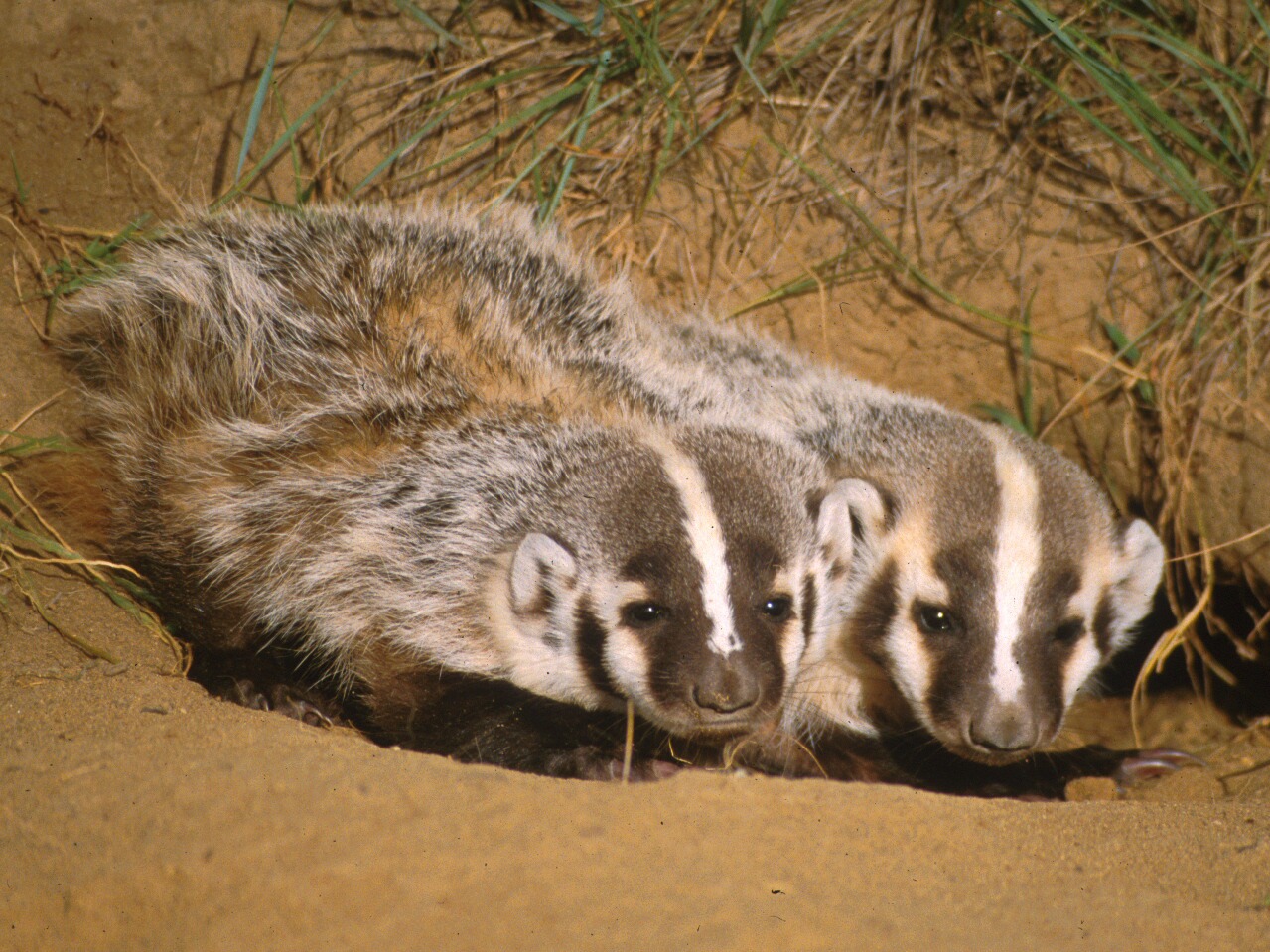
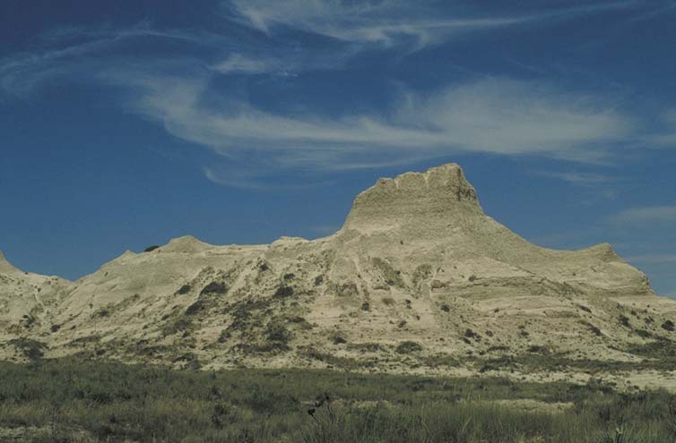
The CPER is comprised of the shortgrass steppe ecosystem which is characterized by dominant C4 (warm-season), grazing-resistant shortgrasses such as blue grama (Bouteloua gracilis) and buffalograss (B. dactyloides). It is adjacent to the 782 km2 Pawnee National Grassland, as well as the 1,200 km2 surrounding private and state lands which are used primarily for livestock production. Additional infrastructural capacity for the CPER is the close proximity of the High Plains Grasslands Research Station, at Cheyenne, Wyoming (48 km northwest of CPER) which encompasses 11.3 km2 of northern mixed-grass prairie.
Instrumentation
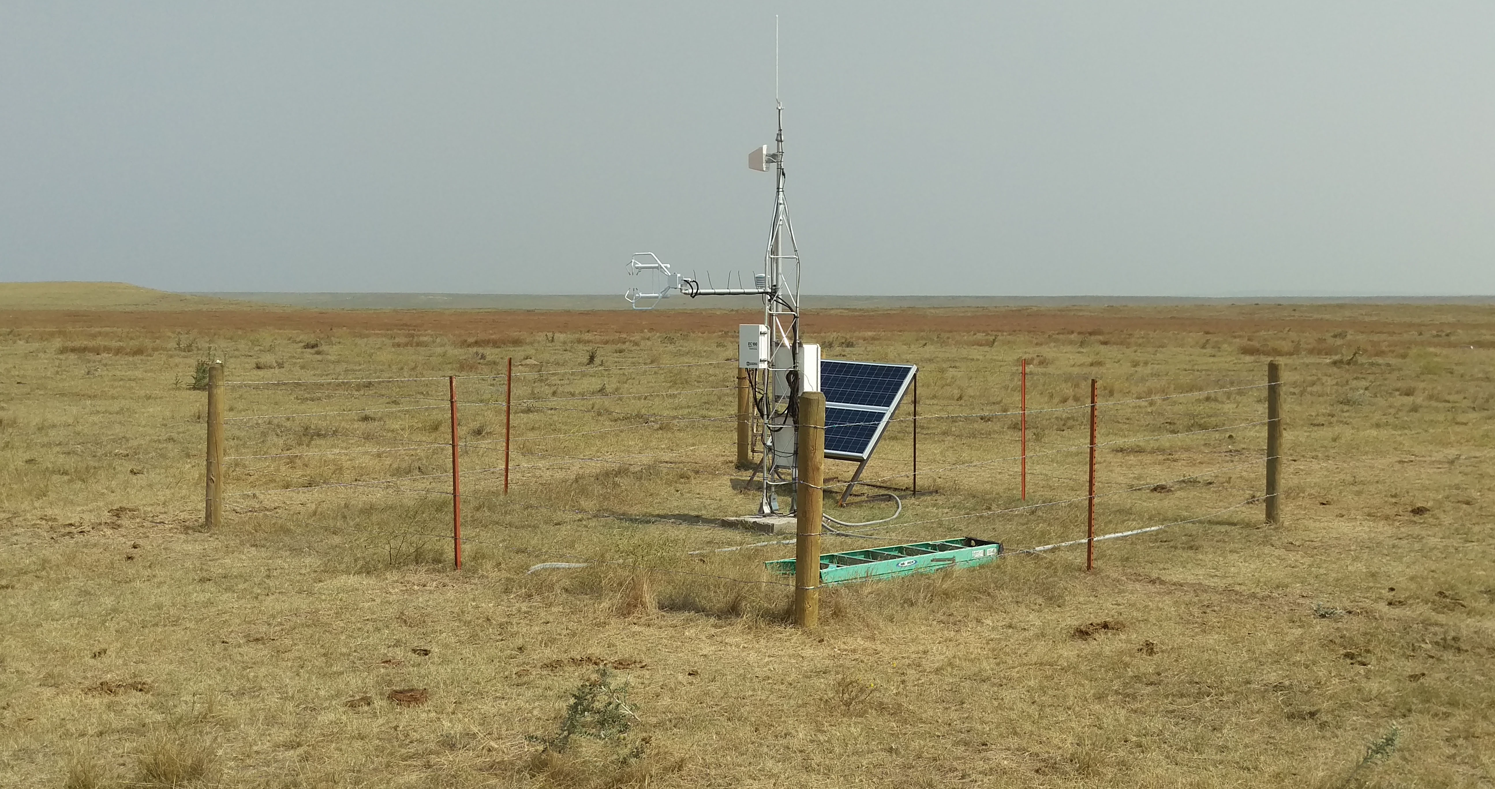
The objectives of the CPER hydro-meteorological network are to improve the spatiotemporal coverage by installing new sensors and increasing their connectivity via telecom, and ensuring good quality of data by developing a system to implement automated QA/QC procedures and produce graphical and statistical summaries for review. Hydro-meteorological data from the CPER are used to develop science-based, region-specific information and technologies for agricultural and natural resource managers that enable informed decision-making and where possible provide assistance to enable land managers to implement those decisions.
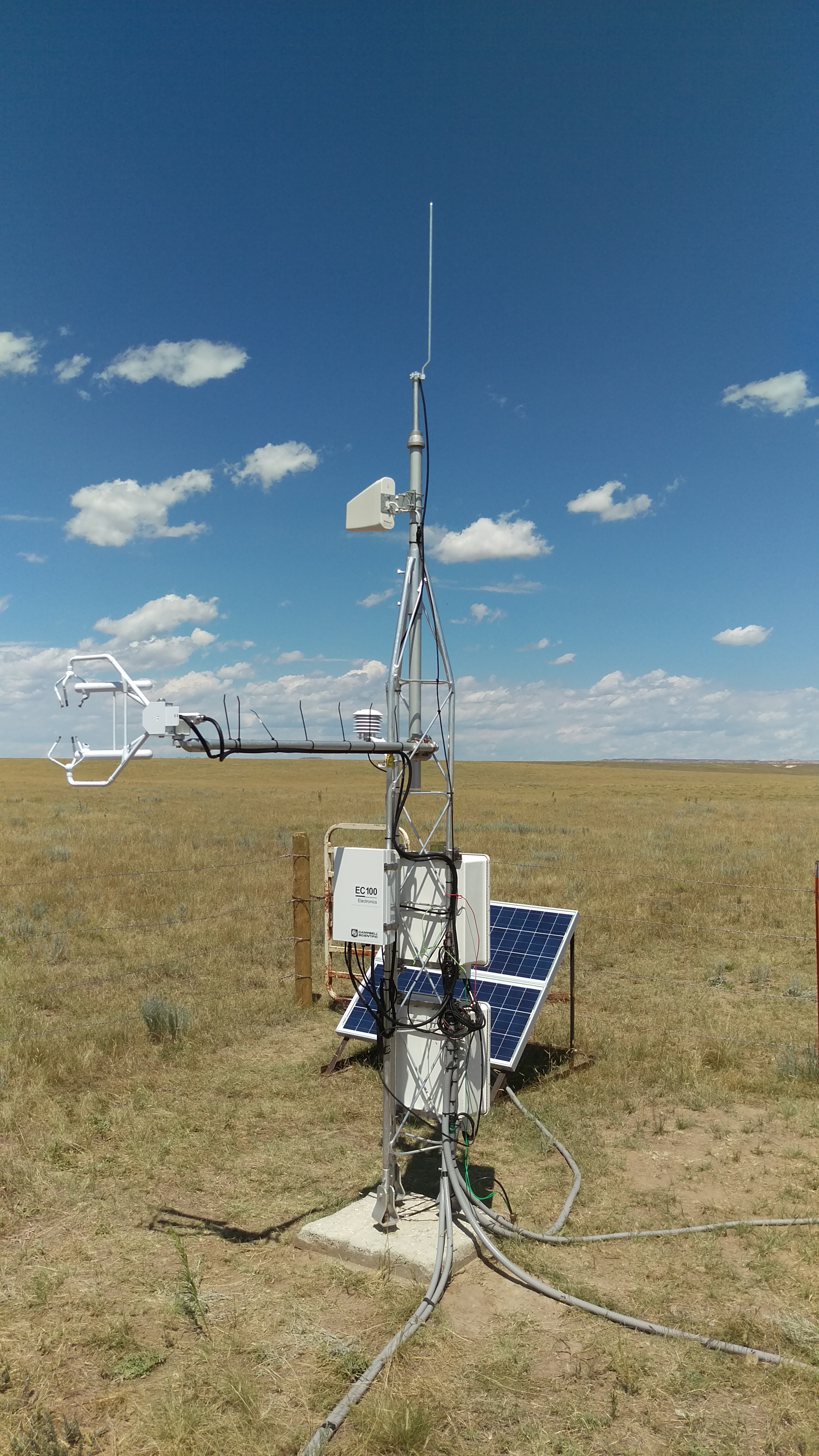
Meteorological station (n=1):
The meteorological station is located at the headquarters of the CPER. Instrumentation purchased from Campbell Scientific is solar powered and uses an IP modem for connectivity. Meteorological measurements include temperature, relative humidity, wind speed, wind direction, solar radiation, precipitation, evaporation, soil temperature, soil moisture and barometric pressure.
Precipitation and soil moisture network (n=25):
Historically (1939-2017), precipitation data was collected semi-daily during the growing season, using 30 non-recording rain gauges distributed widely across the CPER. In 2018, these gauges were replaced with 25 new automated tipping-bucket precipitation gauges, which are co-located with soil moisture probes, measuring at 10, 20, 30, 40, 50 and 80 cm depths. This network will help improve the spatiotemporal coverage and quality of precipitation and soil moisture measurements across CPER.
Eddy Covariance Flux towers (n=3):
Data from EC towers are utilized for energy, water and carbon flux/balance measurements. EC towers are located in three pastures with (1) an aspirational grazing treatment, (2) a business as usual (moderately grazed) treatment, and (3) a heavily grazed treatment. Proximal to the EC towers are weighing bucket precipitation gauges and soil moisture probes (0-100 cm at 10 cm increments), to estimate water budgets using identical instrumentation across all three treatments. NEON maintains an EC tower in a lightly grazed pasture on the CPER.
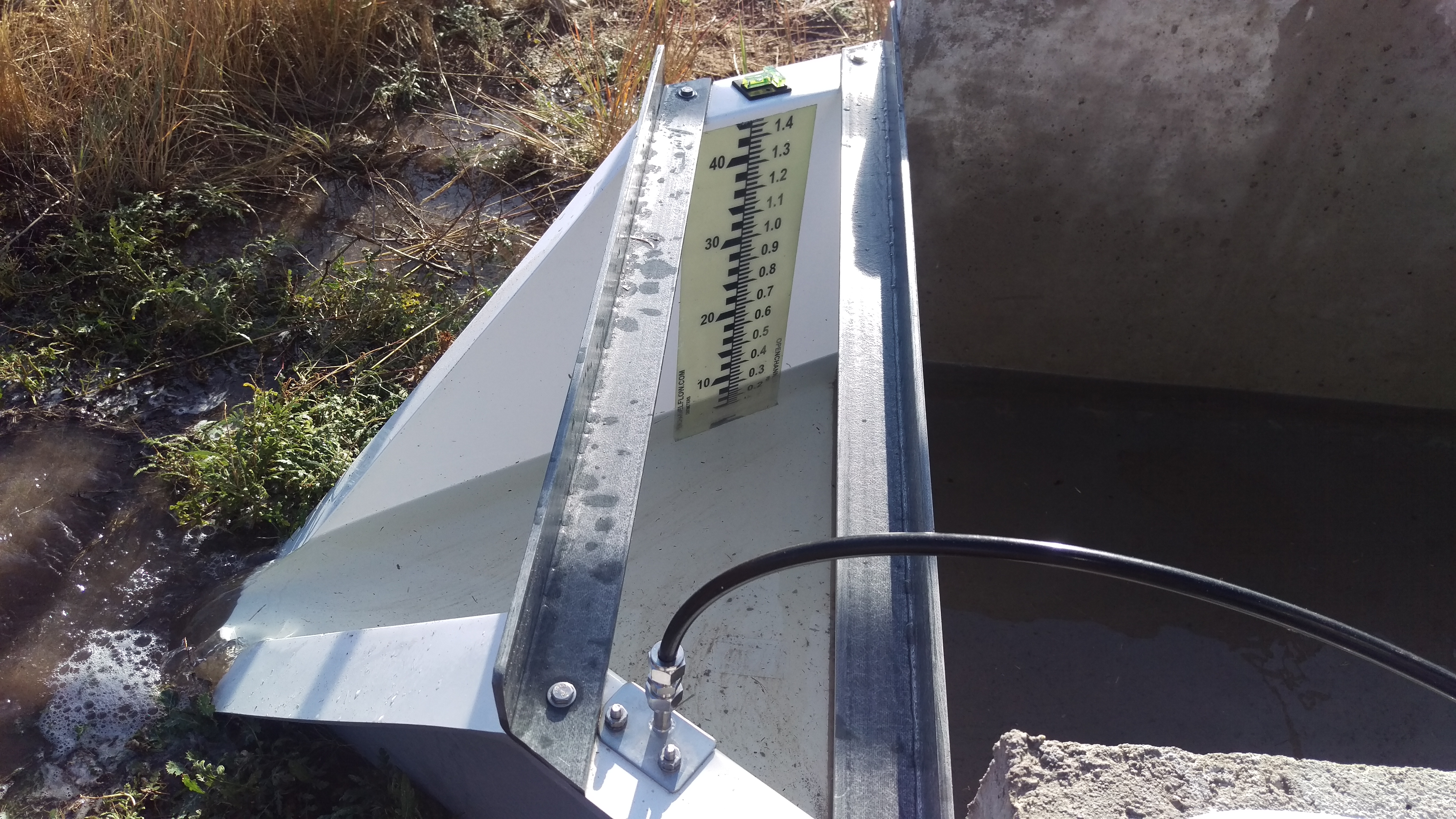
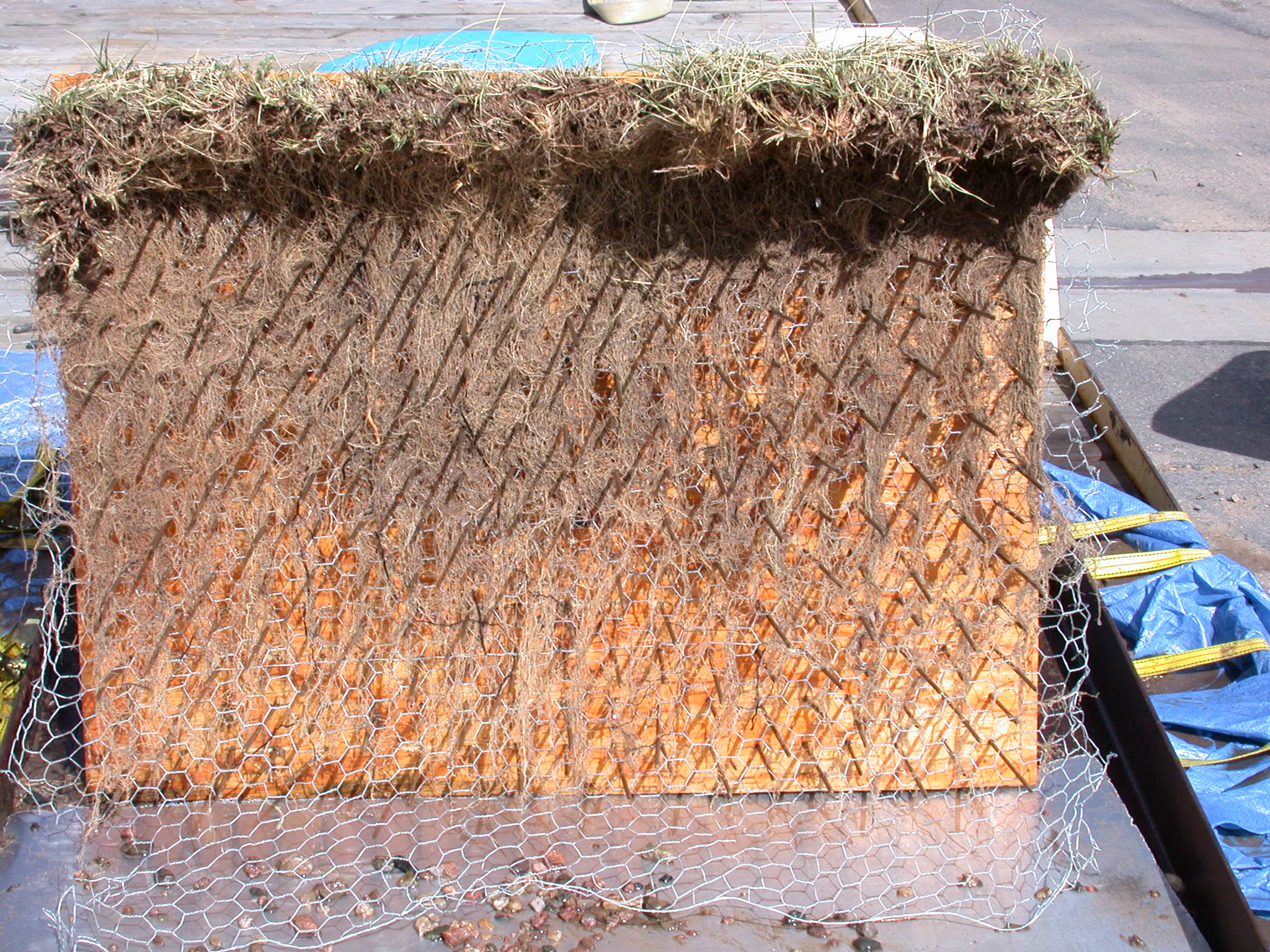
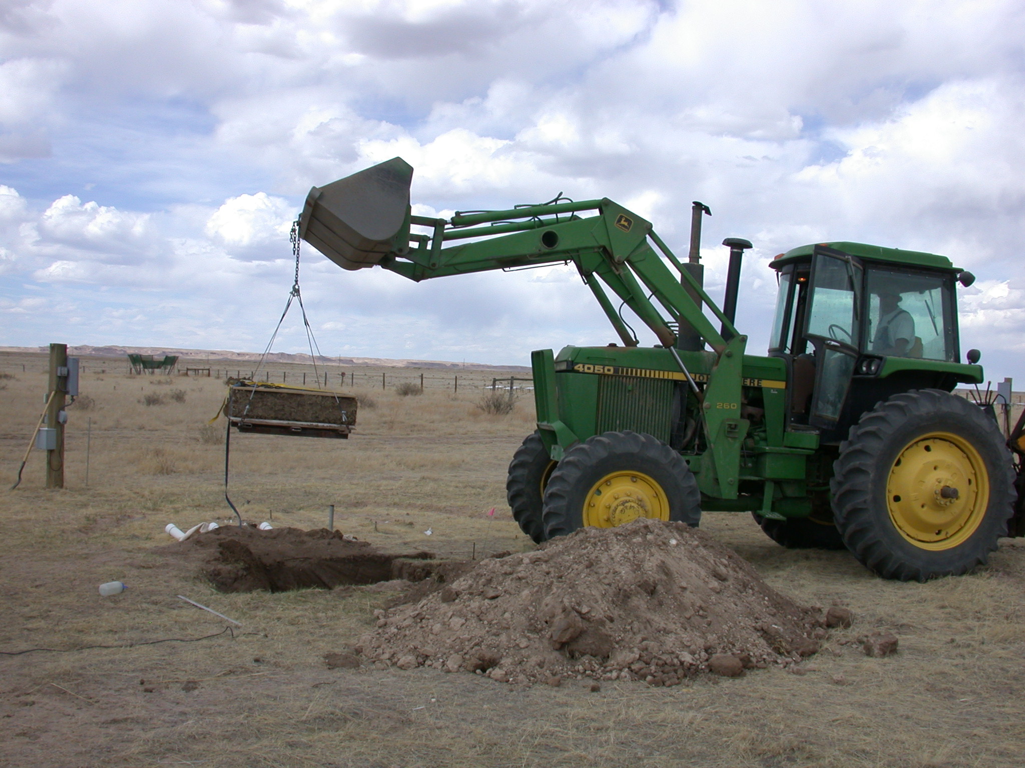
Microwatersheds (n=4):
Existing microwatersheds, spanning four grazing management types (light, moderate, heavy, aspirational), which were originally installed in the late 1960s for the International Biome Project, have been refurbished with new flumes. In addition to runoff, tipping bucket precipitation gauges measure rainfall intensity, and soil moisture probes measure water content in the soil. These data will be used to examine the interaction between rainfall intensity, antecedent soil moisture, and grazing management on runoff.
Classification System
Farm Resource Regions: Northern Great Plains
Major Farm Region: Norther Great Plains
Hydrologic Unit Codes (HUC-2): Sub-Region 19 (Missouri River)
National Ecological Observatory Network (NEON): Domain D10 (Central Plains)
NRCS Major Land: Common Resource Area 67A/B (Western Great Plains)
LTAR Research Emphases
- Hydrologic and Erosion Modeling
- Carbon, water, and energy measurements with flux towers
- Remote sensing of vegetation cover
- Examine collaborative adaptive grazing management practices to evaluate the effectiveness for both production and conservation goals. In particular, we seek to examine how grazing management can be implemented in a manner that responds to current and changing rangeland conditions, incorporates active learning, and makes decisions based on quantitative, repeatable measurements collected at multiple spatial and temporal scales.
Muti-site Initiatives
CPER is participating in the following initiatives:
- Common experiment synthesis (Derner)
- Sustainable intensification review (Derner, Augustine)
- Water balance (Hoover)
- Wind erosion network (Fox, Tatarko)
- Phenocam (Hoover)
- Watershed modeling (Hoover)
- Downscaling gridded data (Hoover)
- Landscape scale sustainability of agroecosystems (Augustine, Derner)
- Precipitation Intensification (Hoover)
- Innovations in Data Management (Kaplan)
- Remote Sensing/GIS (Porensky)
- Regionalization (Porensky)
- Soils health (Porensky, Derner)
- APEX (Ma)
- CARE for Qualitative Data (Wilmer, Augustine, Porensky)
Major Accomplishments
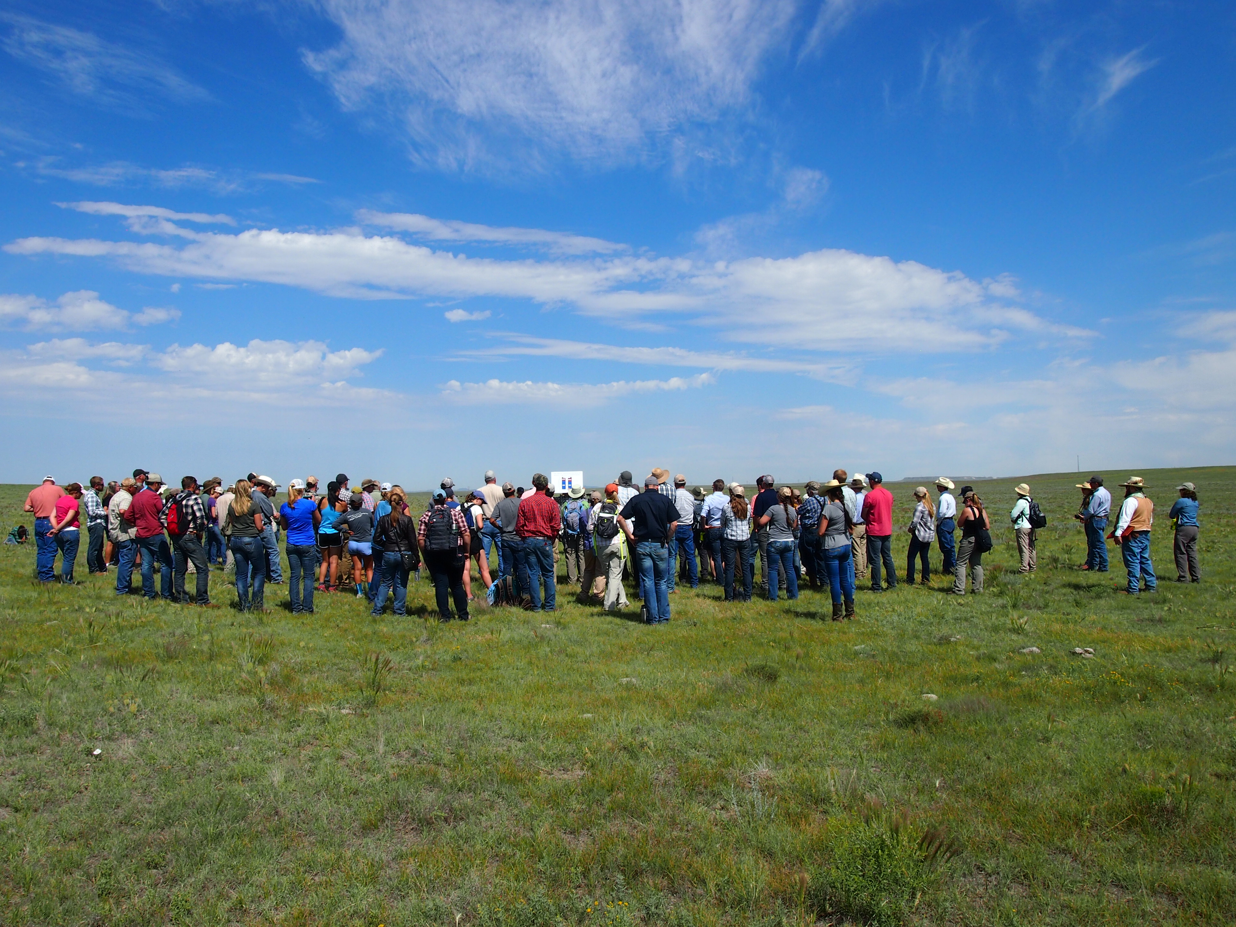
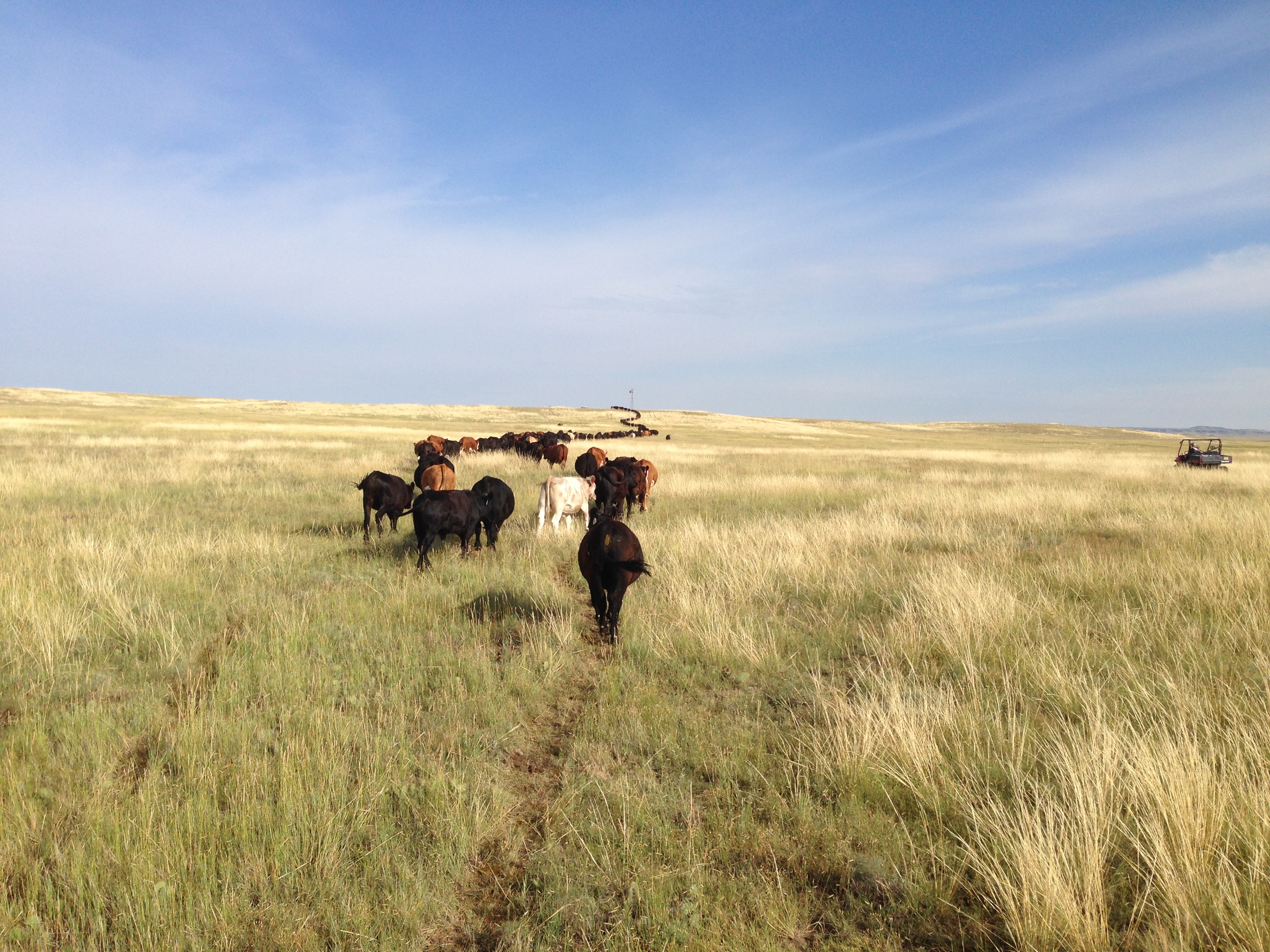
Objectives of the Collaborative Adaptive Rangeland Management (CARM) experiment stakeholder group, which comprised of 11 individuals (ranchers, extension, non-governmental organizations, conservation organizations, and land managers on state/federal lands), are to develop an Adaptive Grazing Management Plan with key goals; objectives for livestock, vegetation and wildlife; desired outcomes; key monitoring needs; and management practices (see project website at https://www.ars.usda.gov/plains-area/fort-collins-co/center-foragricultural- resources-research/rangeland-resources-systemsresearch/docs/range/adaptive-grazing-management/research/). The stakeholder group is using pulse grazing (very high stocking density for a short period of the grazing season, followed by a long rest or no-grazing period) as the primary grazing management strategy (aspirational treatment for the LTAR network) for comparison to traditional season-long grazing (business as usual or traditional treatment for the LTAR network), with both grazing treatments using the same overall system-level stocking rate of moderate to prevent confounding of management strategy and stocking rate. The experiment is in its fourth year, with the stakeholder group utilizing a co-production, co-development and co-knowledge approach with scientific collaborations to manage the spatial distribution of livestock across the 10, 320 acre pastures.
Based on evaluation of monitoring data from 2014-2016, the stakeholder group in 2017 decided to: 1) increase stocking rate by 5%, 2) have a mid-grazing season “field data day” (early July), 3) continue collections of weekly dietary fecal quality at the herd level, and bimonthly dietary fecal quality of individual animals, and 4) utilize a combination suite of 5 ‘triggers’ related to forage quality, cattle condition, seasonal plant growth patterns, and bird habitat objectives to determine how cattle will be rotated through pastures this growing season. A core group of scientists from ARS, Colorado State University, Texas A&M University, the University of Wyoming, and the University of California-Davis collaborate on this study with the stakeholder group.
Additional objectives included a survey and documentation of grazing land model decision support functions requested by ranchers and public land managers; assessment of the ability of currently available models to reliably and accurately provide decision-support using LTAR data; an outline to achieve a highly reliable, spatially-explicit, and high temporal resolution grazing land model that will meet the requested decision support needs. The Agricultural Policy/Environmental eXtender Model (APEX) model has been identified for simulating grazing management effects on rangeland productivity and environmental impact on two LTAR network sites: 1) semiarid shortgrass steppe at the Central Plains Experimental Range in Colorado and 2) southern tallgrass prairie at the Texas Gulf site in Riesel, Texas.
CPER LTAR scientists are also involved in a collaborative effort with the USDA-ARS Northern Plains as well as Cooperative Extension involved in communication. Preliminary outputs from these CARM collaborations include: 1) scenario planning for resilient beef systems, 2) curriculum emphasizing a primer for weather extremes, and 3) connecting agricultural producers to early adopters of adaptation strategies for weather and extreme events. Lastly, CPER collaborated with Colorado State University and the National Drought Mitigation Center to develop an experimental forage production forecast for the Great Plains grasslands – GrassCast. Current experimental GrassCast forage predictions are being field-tested by Natural Resources Conservation Service (NRCS) and Cooperative Extension personnel in 2017 with expected release to land managers in early spring 2018.
Other Networks (where data is shared)
- Ameriflux
- SCAN
- LTER
- NEON
- GraceNET
- PhenoCAM
- NutNet
Site Name
Central Plains Experimental Range
Website
Location
Central Plains
Established
1937
Area (km2)
62.8 (15,000 acres)
Leader(s)
Justin Derner (RL & Site Lead), David Augustine, Dana Blumenthal, David Hoover, Lauren Porensky, Dannele Peck, and Liwang Ma


ABOUT LTAR
The USDA Agricultural Research Service (ARS) Long-Term Agroecosystem Research network consists of 18 Federal and university agricultural research sites with an average of over 50 years of history. The goal of this research network is to ensure sustained crop and livestock production and ecosystem services from agroecosystems, and to forecast and verify the effects of environmental trends, public policies, and emerging technologies.