JER
Jornada Experimental RangeWho Operates and Manages this LTAR Site?
The United States Department of Agriculture-Agricultural Research Service (USDA-ARS) Range Management Research Unit/Jornada Experimental Range in Las Cruces, New Mexico.
Description
The mission of the Range Management Research Unit is to develop and transfer science-based approaches for sustainability of agriculture and other land uses in rangelands of the western U.S. The core problem addressed by our LTAR program is: How to improve agricultural production while simultaneously sustaining or improving the natural resource base and other ecosystem services that this base supports.
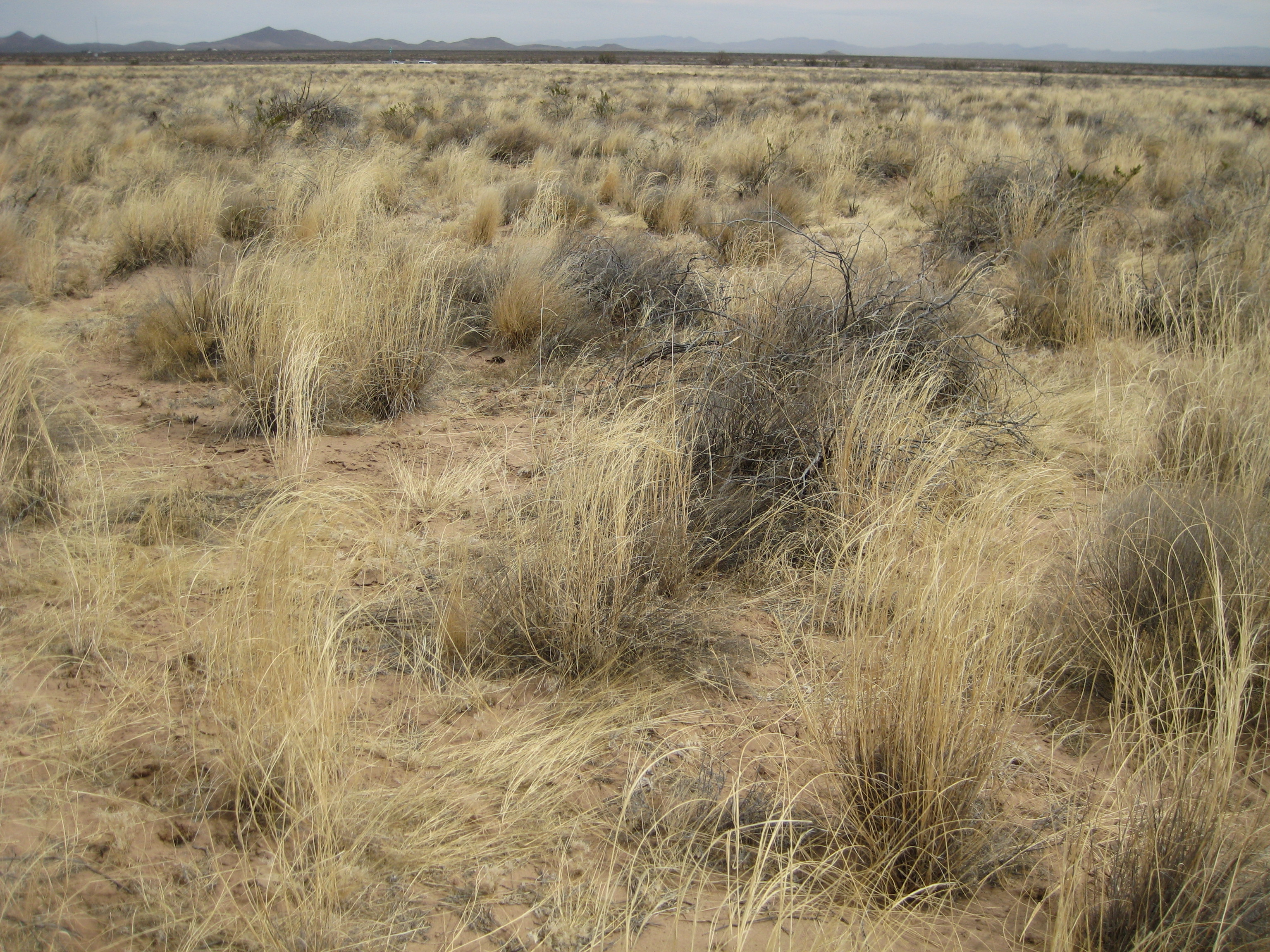
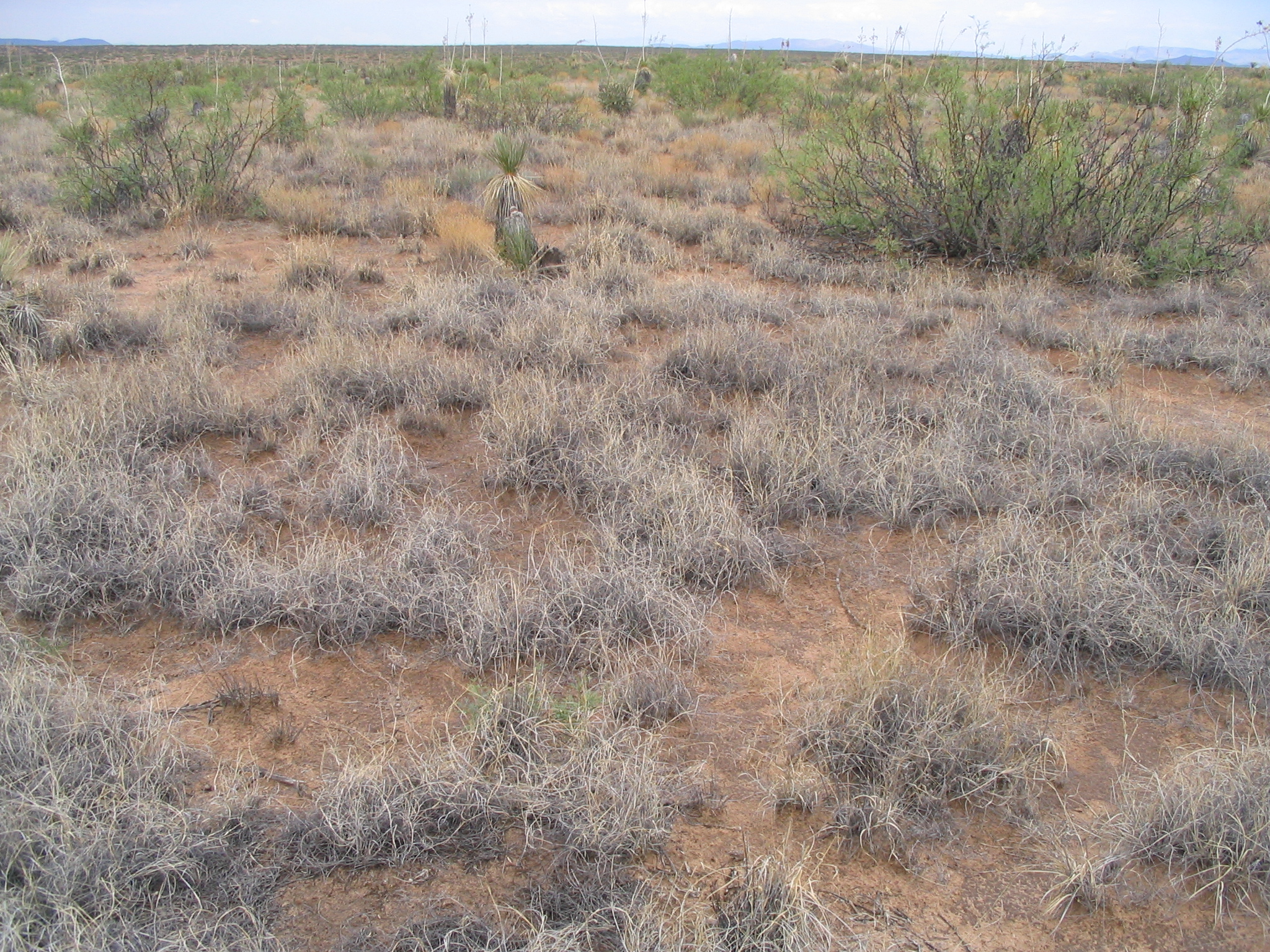
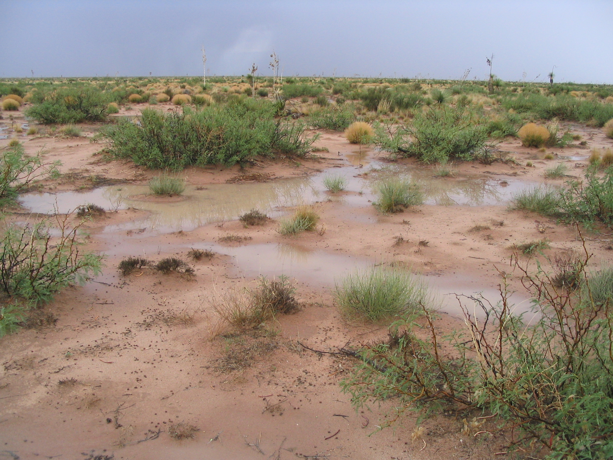
The Jornada Experiment Range (JER), 40 km north of Las Cruces, is the primary field site. The JER was established in 1912 in order to develop approaches to remedy widespread rangeland degradation across the American Southwest at the end of the 19th Century. Well-documented data sets spanning 106 years exist from JER. The research conducting over this period, within the USFS beginning in 1915, then within ARS upon its founding in 1952, and then in collaboration with the National Science Foundation-funded Jornada Basin Long-Term Ecological Research (LTER) Program starting in 1982, improved livestock management practices and our understanding of ecosystem change. A key discovery is that arid to semiarid agroecosystems of the Southwestern U.S. are undergoing substantial and irreversible changes, under control of several interacting drivers at multiple scales of space and time. Efforts to promote the sustainability of Western rangeland agroecosystems continually evolve in response to ongoing social and ecological change.
In recent decades, the Jornada program has expanded its scope to include cutting-edge support of ecological and atmospheric research, novel computational approaches, development of mobile and web-based applications and databases, and outreach activities that have impacts far beyond Western rangelands. The Jornada also supports or leads a broad array of national science programs, research networks, and long-term collaborations including: 1) the National Science Foundation (NSF)-funded LTER program that, in cooperation with New Mexico State University, conducts long-term research on ecosystem change since 1982; 2) the LTAR network that develops strategies for long-term sustainability of agricultural systems; 3) the National Wind Erosion Network that develops models and estimates of wind erosion at a national scale. In addition, the Jornada houses: 4) the USDA Natural Resources Conservation Service Ecological Site Description National Program that provides a nationwide land potential and management interpretation system. Jornada infrastructure and scientists support: 6) the US Global Agricultural Monitoring Initiative that disseminates timely and accurate information on agricultural production; 7) the Bureau of Land Management Assessment and Inventory Monitoring Program that provides quantitative information on renewable resources of the nation’s public lands; 8) the National Ecological Observatory Network, which is a continental-scale observation system for examining ecological change; and 9) the non-profit Asombro Institute for Science Education that improves science literacy through inquiry-based education programs in New Mexico and west Texas. In addition, a variety of independent research projects occur on the JER, including a large micrometeorology study of the U.S. Army Research Laboratory, NMSU research on drone technologies, and several NSF- and USDA-funded projects involving universities across the country. These diverse activities create unprecedented synergies in the use of science toward solving agricultural problems.
Geography
The USDA-ARS Jornada Experimental Range (32° 37’ N, 106° 44’ W), NMSU Chihuahuan Desert Range Research Center, and Asombro Chihuahuan Desert Nature Park are located in the northern Chihuahuan Desert between the Rio Grande corridor and the San Andres Mountains, in Major Land Resource Area 42, Southern Desertic Basins, Plains, and Mountains. Topography of the region comprises north-south trending fault-block mountain ranges separated by desert basins and broad valleys flanked by alluvial fans, terraces, and bajadas of gentle to moderate slopes. Elevations range from 1100 – 3000 m depending on landscape position.
Instrumentation
Weather station network (52 standard rain gauges, 24 weather stations, 36 automated tipping bucket rain gauges). 15 net primary productivity monitoring sites, two eddy covariance towers (grassland/shrubland), phenocam network, wind erosion network.
Classification System
Farm Resource Regions: Fruitful Rim
Major Farm Region: Mountain Region
Hydrologic Unit Codes (HUC-2): Region 15 (Lower Colorado)
National Ecological Observatory Network (NEON): Domain D14 (Desert Southwest)
NRCS Major Land: Common Resource Area 41-3 (Arizona Semi-Desert Grassland)
LTAR Research Emphases
- Develop or improve livestock management and restoration practices to promote resilience to weather variability and adaptation to increasingly shrub-dominated environments.
- Leveraging temporal and spatial datasets from the Jornada and surrounding region, design and implement big data-model integration approaches to predict and/or resolve disease outbreaks and other regional agricultural problems.
- Improve understanding of ecological state change in the desert grassland region through synthesis and analysis of long-term weather patterns, vegetation, and livestock data, alongside numerous ongoing short- and long-term experiments, including how gradual and abrupt transitions occur in rangeland agroecosystems and how they can be managed.
- Complete development of a new database to improve quality, accessibility, and utility of Ecological Site Description (ESD) information nationwide, and collaborate with NRCS to complete the national population of ESD information.
- Develop tools and techniques for managing and integrating ground-based assessment and monitoring data, remotely sensed and digital spatial data, and connect data to interpretive frameworks and models to develop actionable interpretations for land management
- Develop new tools and information to assist agricultural stakeholders in coping with weather variability through: research, science translation and information synthesis; tool development and technology transfer; and stakeholder outreach and education.
Muti-site Initiatives
JER is participating in the following initiatives:
- Common Experiment Synthesis Project (lead)
- Regional Manureshed Project
- LTAR Regionalization Project
- Sustainable intensification review
- Water balance
- Farm modeling – IFSM
- Wind Erosion Network (lead)
- Phenocam (lead)
- Watershed modeling
Major Accomplishments
- Initial studies of Raramuri Criollo cattle spark increasing interest in research and producer community.
- Jornada monitoring methods formally adopted by US national agencies and Mongolia.
- Land-Potential Knowledge System (LandPKS) applications developed and released.
- Conducted broad-scale experimental evaluation of desert grassland restoration approaches.
- Produced extreme weather vulnerability assessment for the Southwestern US.
- The Snowmelt Runoff Model (SRM) was revised to improve its ability to assess effects of climatic variability on runoff predictions under multiple scenarios.
- National wind erosion research network established.
- Nationwide protocols for ecological site description development.
- Support for 95,000 student contacts in past 5 years via Asombro Institute for Science Education.
Other Networks (where data is shared)
- In addition to leading LTAR network efforts, JER-LTAR is also integrally linked with several other research networks. These linkages help JER-LTAR and the LTAR network on the whole to extend the scope and reach of its research to advance sustainable intensification.
- USDA ranch-scale web services and CoCoRahs
- National Science Foundation Long-Term Ecological Research program via NPP monitoring and weather station data, and other long-term soils, plants (including phenology), small animals, and atmospheric observations
- National Ecological Observatory Network via flux tower sensors and other standardized monitoring measurements at our observatory site
- National Phenology Network provides tools for analysis of phenology data and receives JER-LTAR data
- National and international monitoring programs – BLM-AIM, USDA-NRI, IMPROVE, AERONET, GEOGLAM, AgMIP, LandPKS
- Big data-disease outbreaks/Grand Challenge
Site Name
Jornada Experimental Range
Website
Location
Southern New Mexico
Established
1912
Area (km2)
- Jornada Experimental Range: 780
- Chihuahuan Desert Range Research Center: 250
- Chihuahuan Desert Nature Park: 4
Leader(s)
Brandon Bestelmeyer


ABOUT LTAR
The USDA Agricultural Research Service (ARS) Long-Term Agroecosystem Research network consists of 18 Federal and university agricultural research sites with an average of over 50 years of history. The goal of this research network is to ensure sustained crop and livestock production and ecosystem services from agroecosystems, and to forecast and verify the effects of environmental trends, public policies, and emerging technologies.