GACP
Gulf Atlantic Coastal PlainWho Operates and Manages this LTAR Site?
Three USDA-ARS units contribute to the GACP-LTAR site. These three units are Southeast Watershed Research Laboratory (SEWRL), Crop Genetics and Breeding Research, and Crop Protection and Management Research, all located in Tifton, GA. SEWRL’s primary focus is research pertaining to LTAR activities. The GACP-LTAR works closely with University and other Federal Scientists as well as private land-owners.
Description
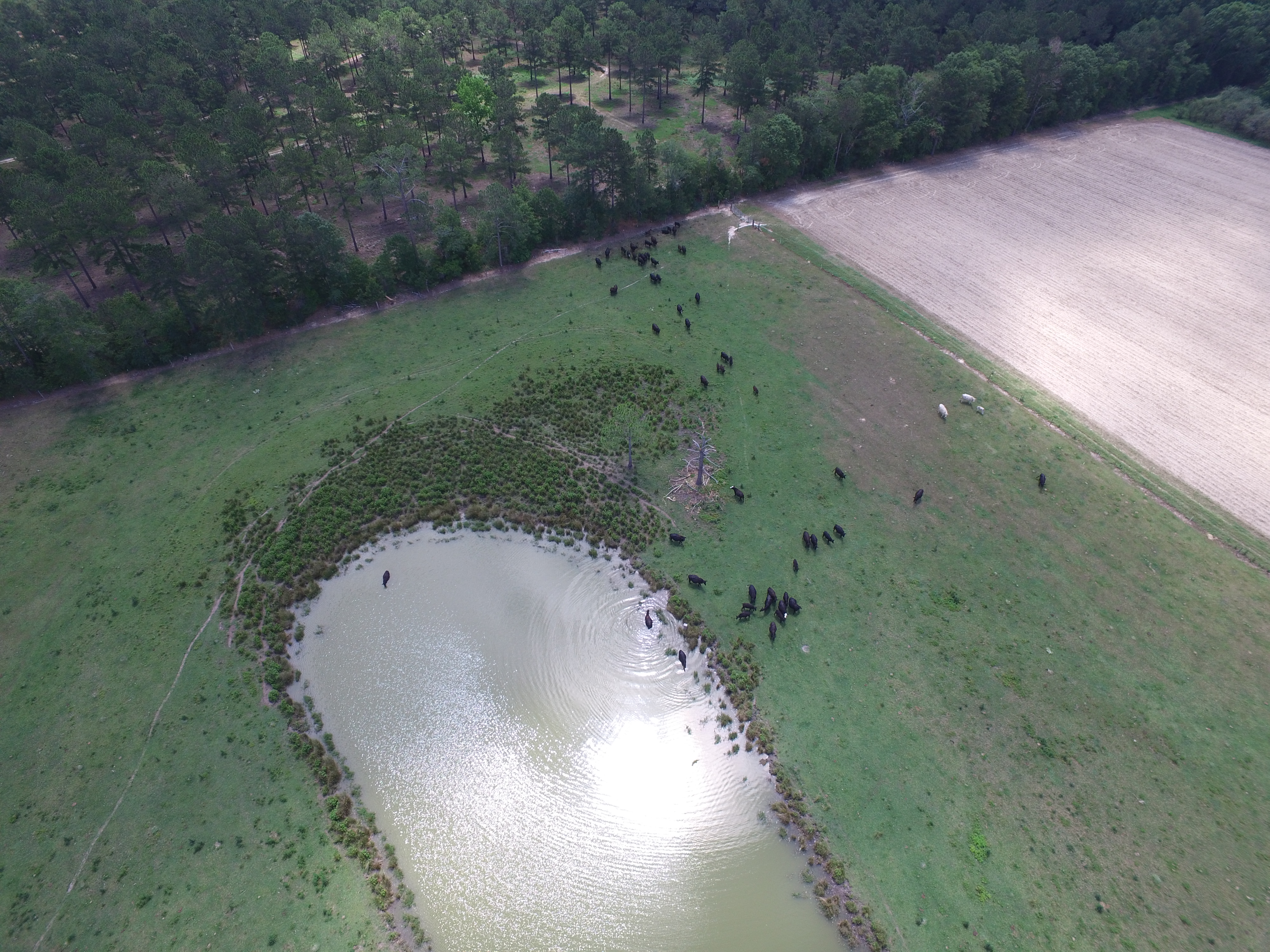
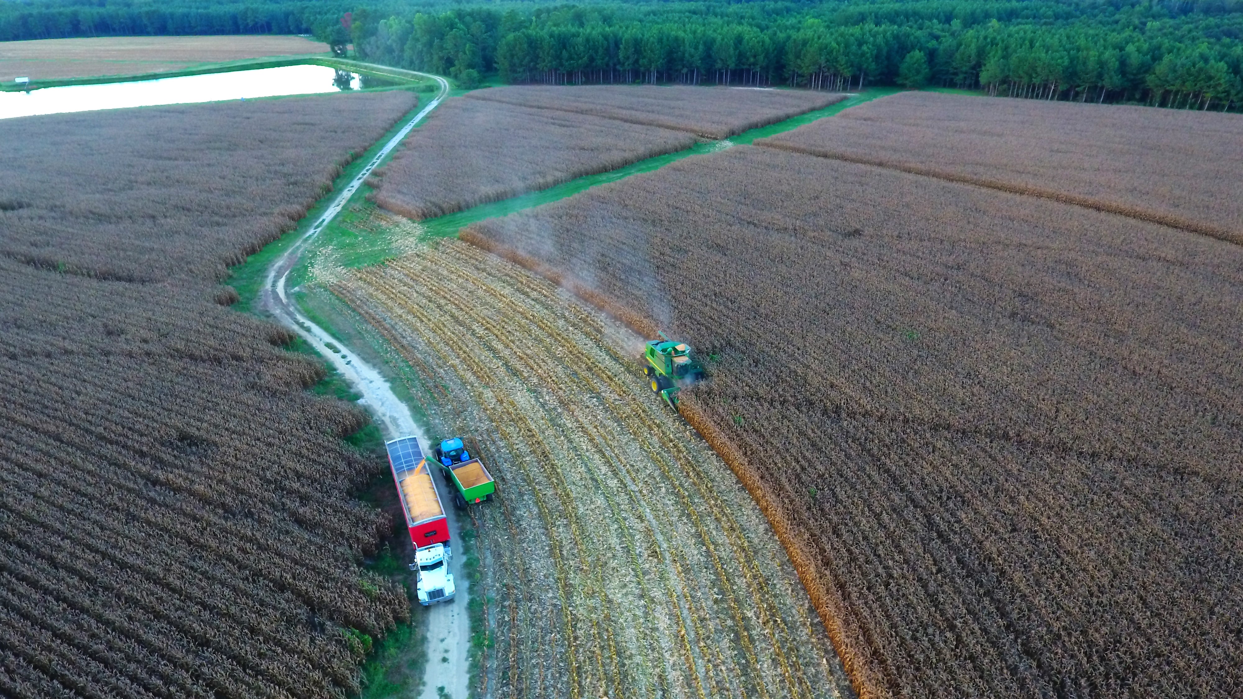
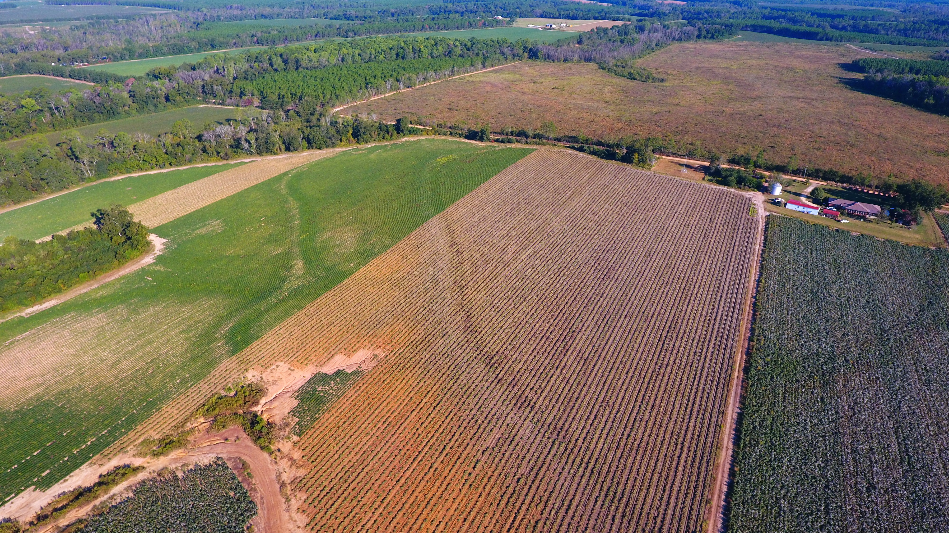
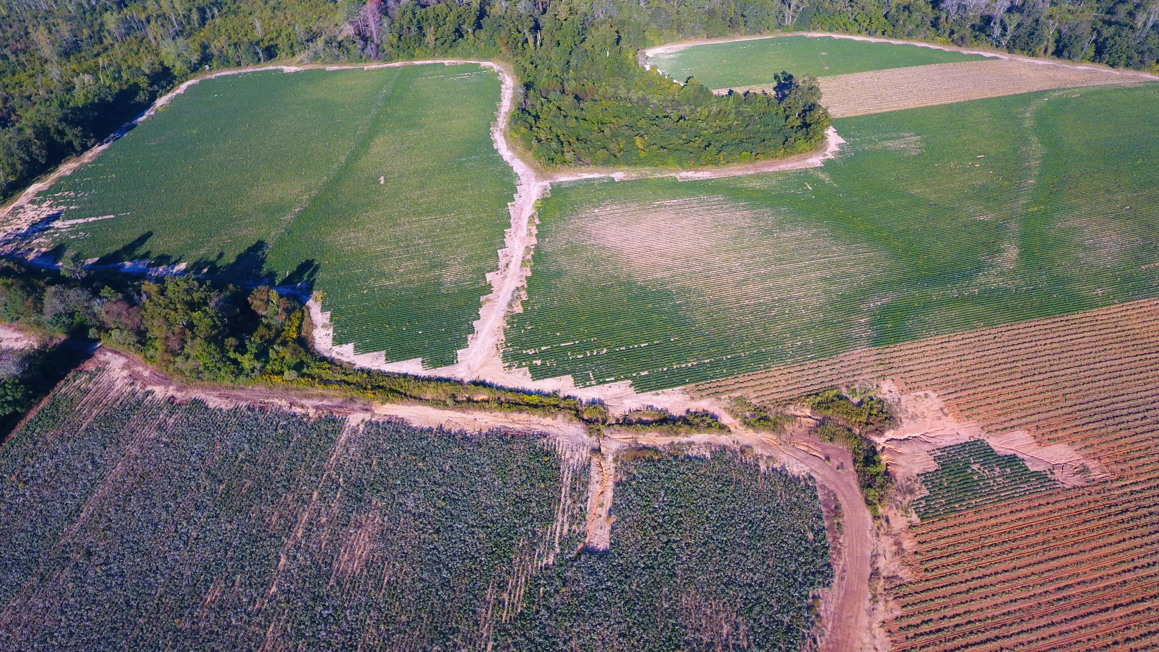
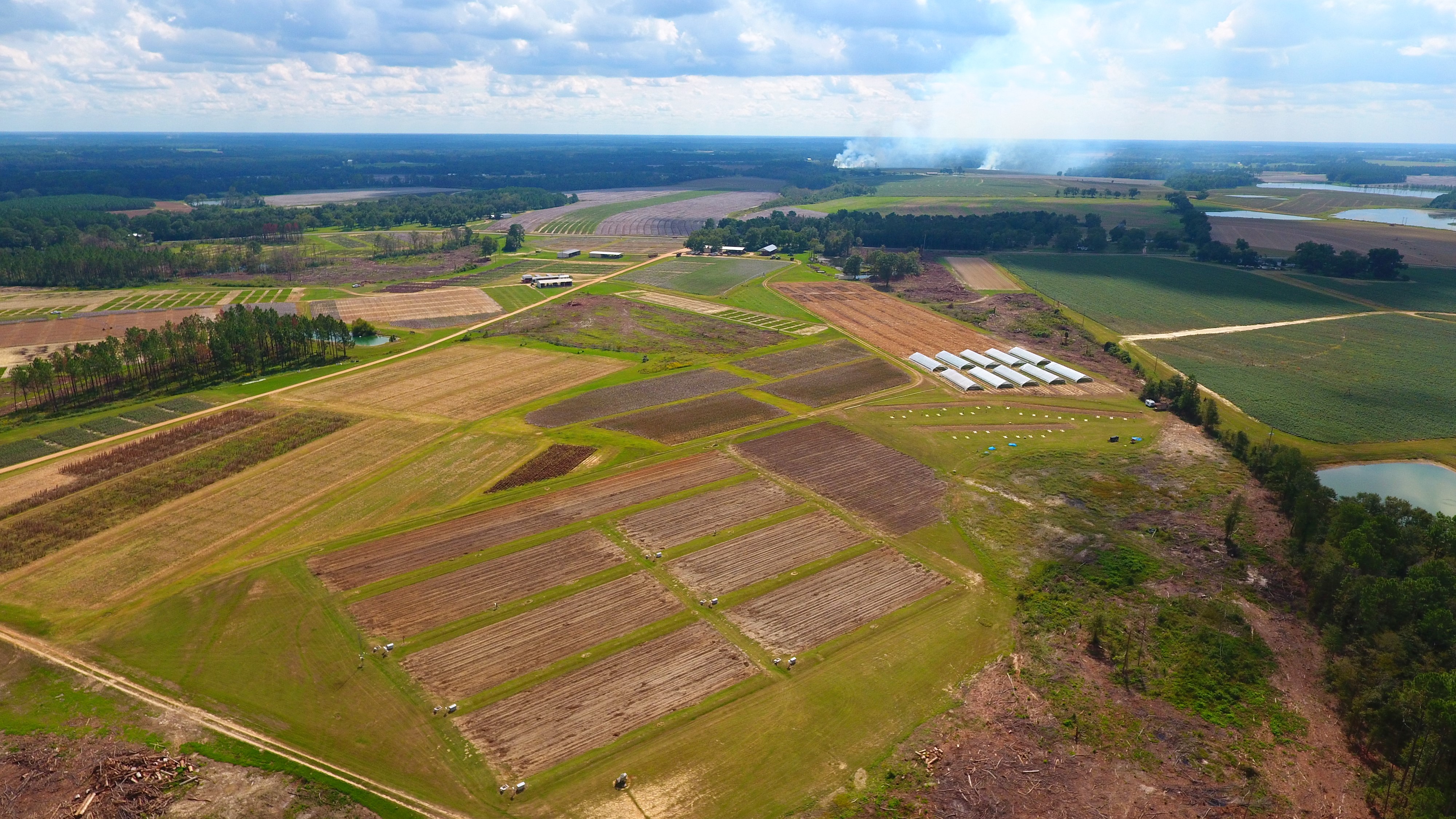
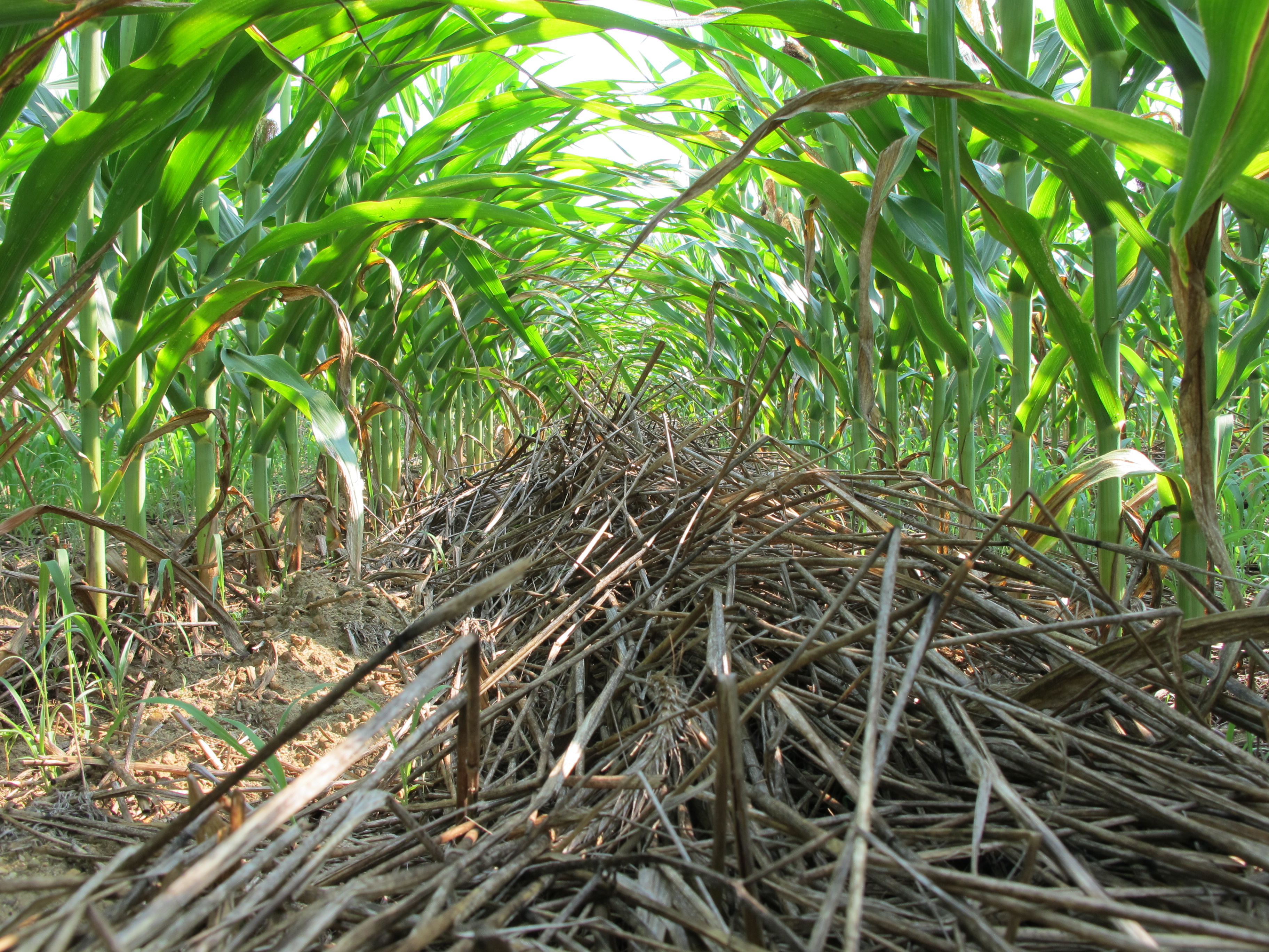
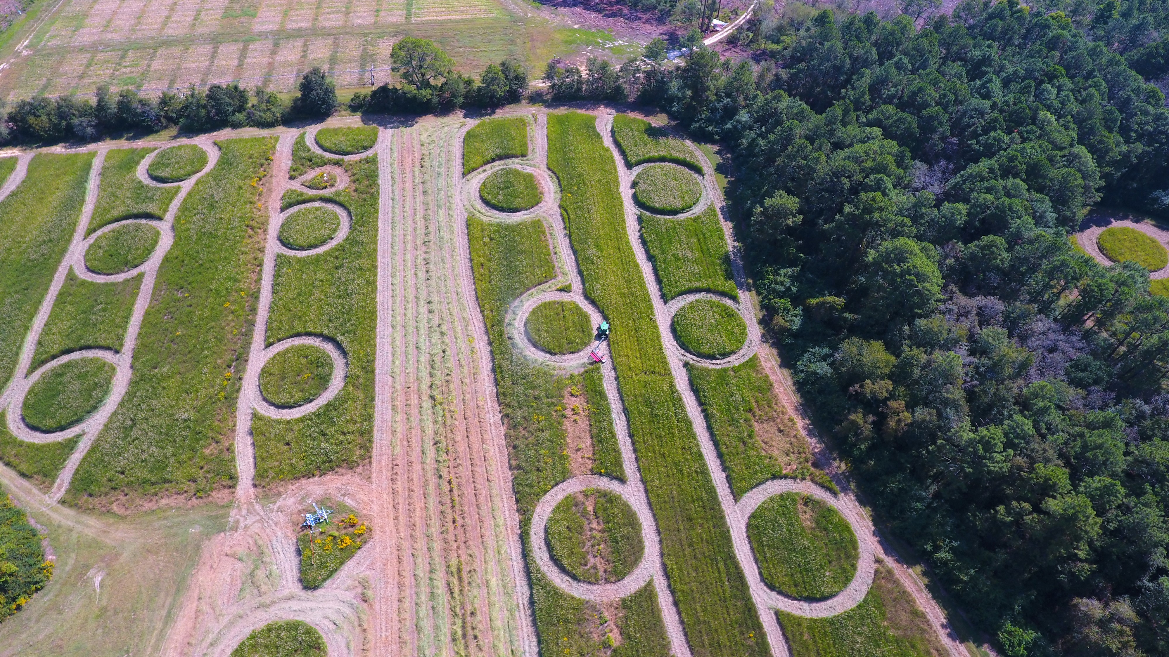
The GACP-LTAR is conducting plot, field, and watershed scale research to accomplish the LTAR objective. The research integrates different crop rotations, tillage practices, fertilization, pesticide application, irrigation practices, improved crop varieties, and livestock management. Measurements are made at each scale to quantify hydrologic and water quality characteristics. Additional measurements are made to quantify ecosystem services: supporting (pollination, nutrient recycling, primary production, crop water availability, and soil formation), provisioning (food and fiber production), and regulating (carbon sequestration, water purification, flood control, and pest control). Complimentary to the field research, the GACP-LTAR will utilize remote sensing and modeling to better characterize the landscape and to model potential trade-offs between ecosystem services in response to management priorities.
Geography
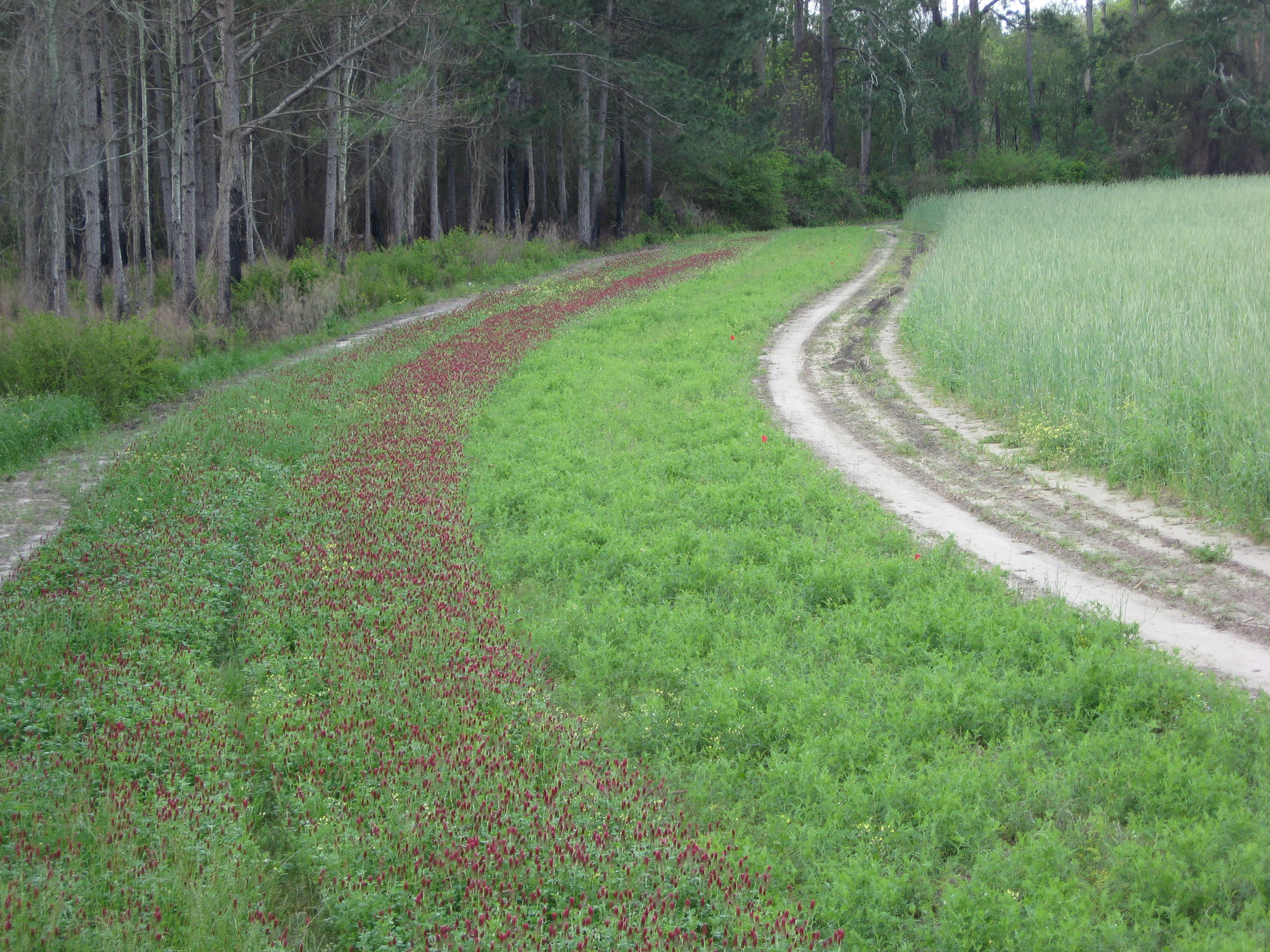
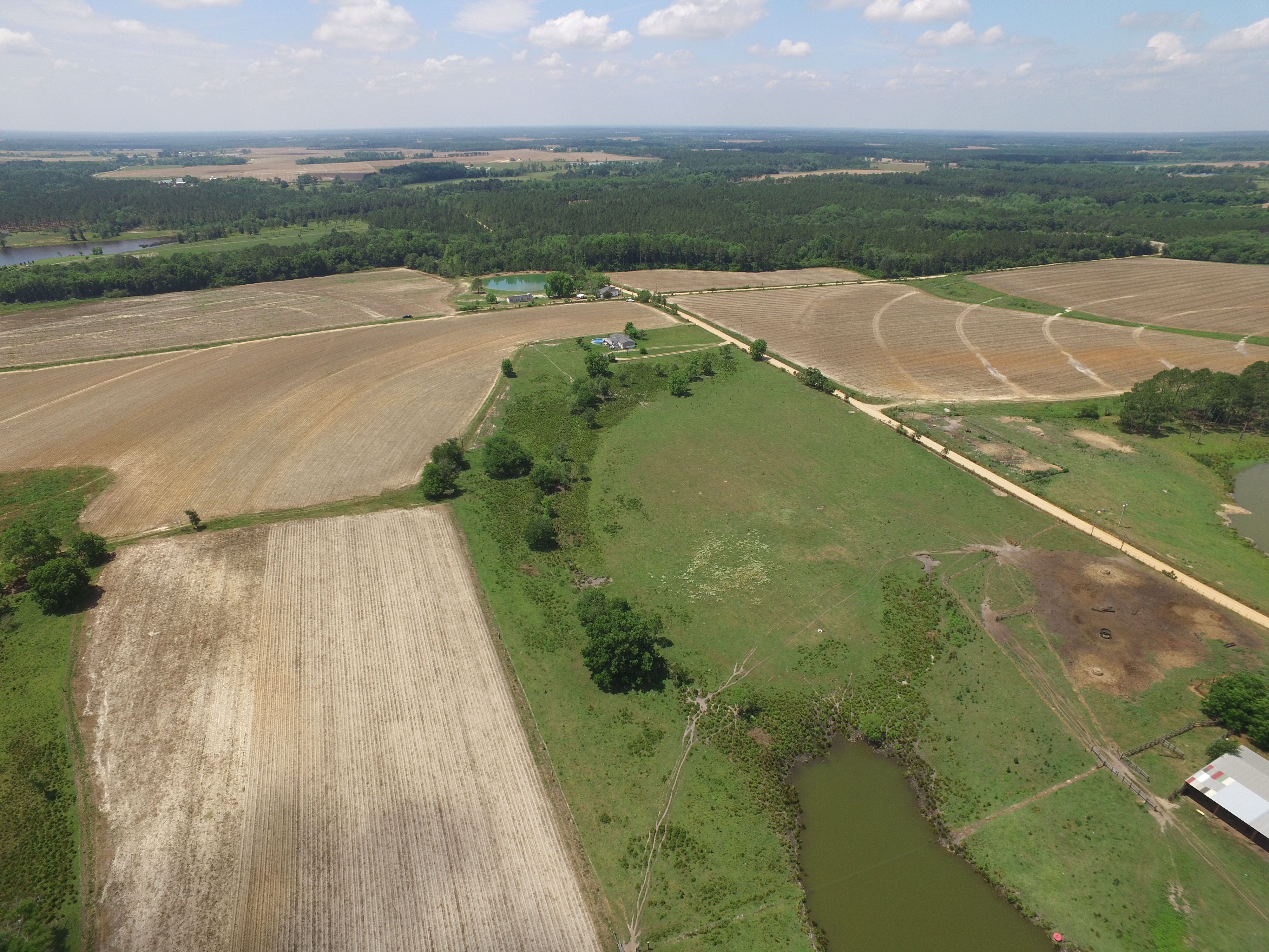
The LREW is representative of the Tifton and Vidalia Upland Ecoregions, referred to jointly as the Tifton-Vidalia Upland (TVU). The TVU, contained within the Southeastern Plains, has relatively homogeneous geology, soils, parent materials, land use, agricultural management, and economic and social patterns. Topographically, the TVU is an area of floodplains, river terraces, and gently sloping uplands. Bottomlands are nearly level and most valley flanks are less than 5% slope although some slopes of 5%-15% exist.
Instrumentation
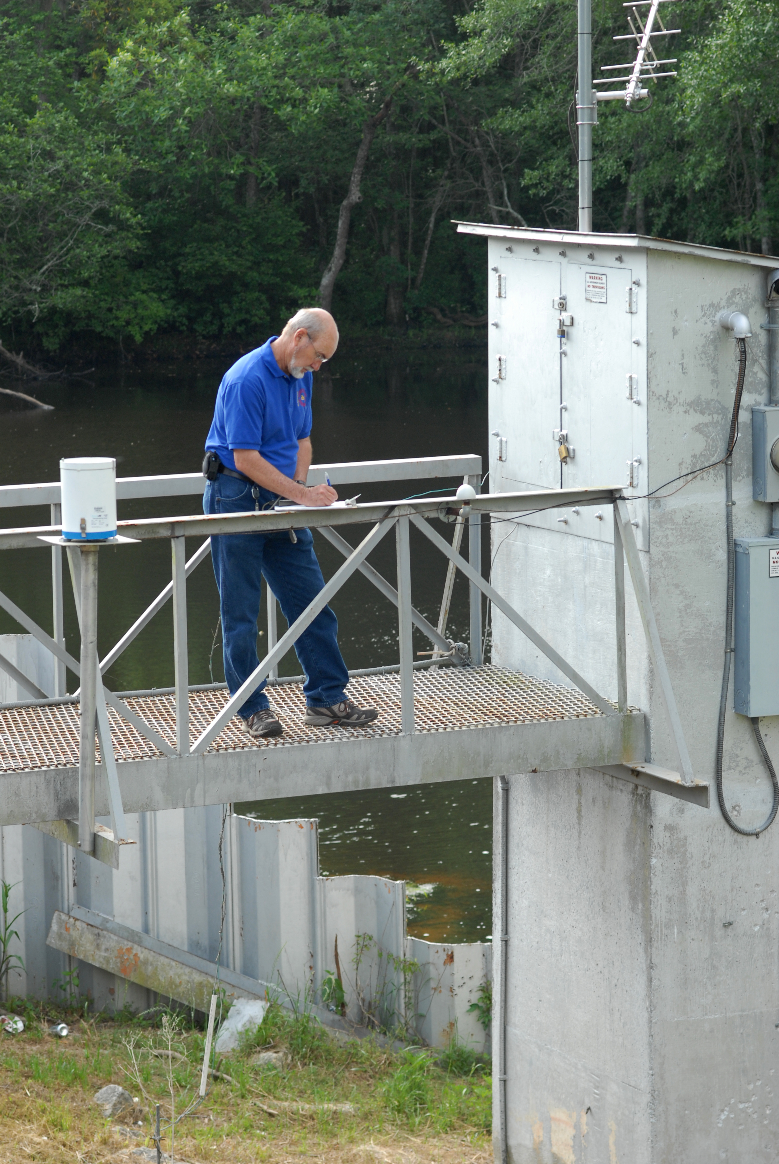
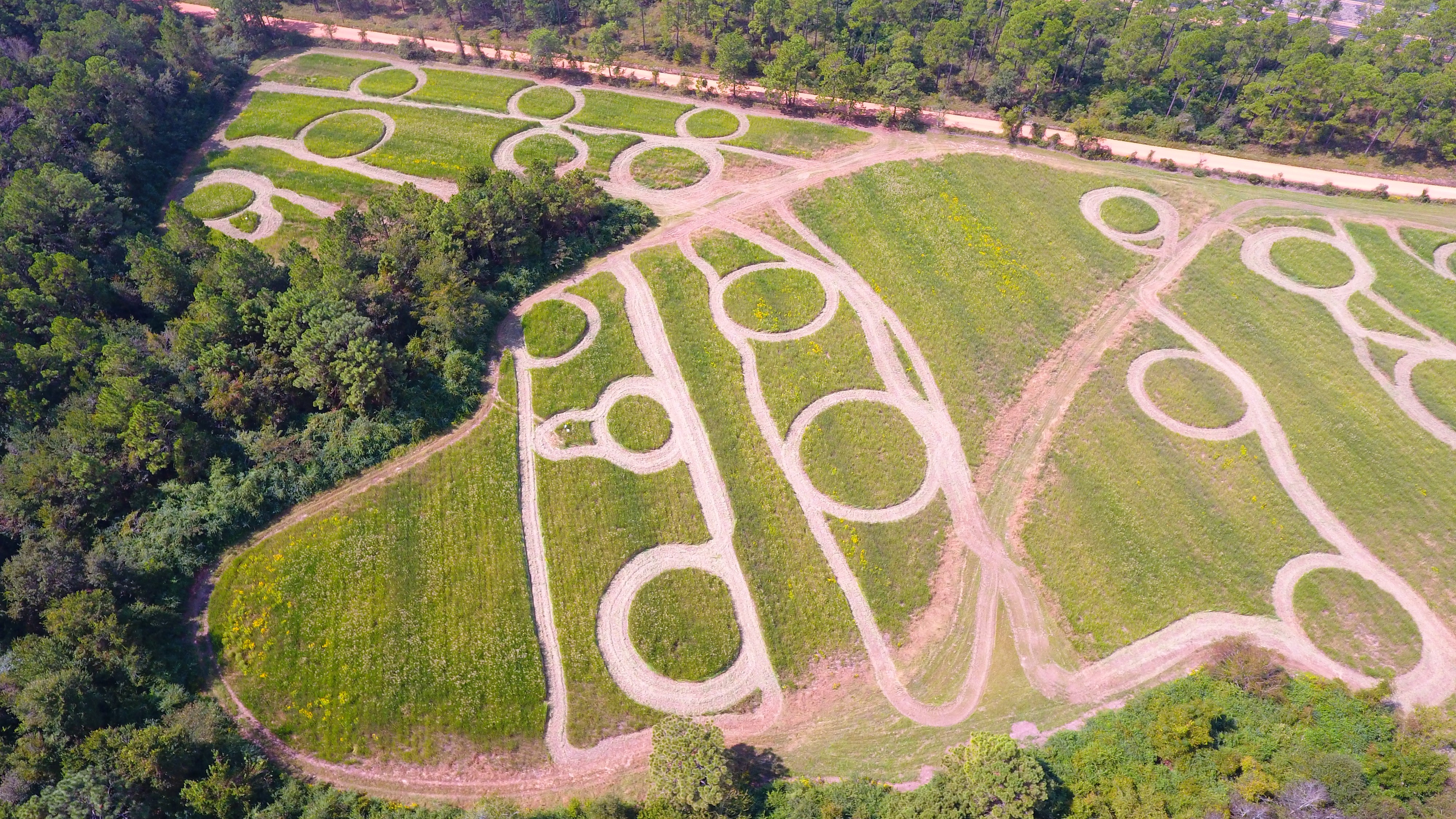
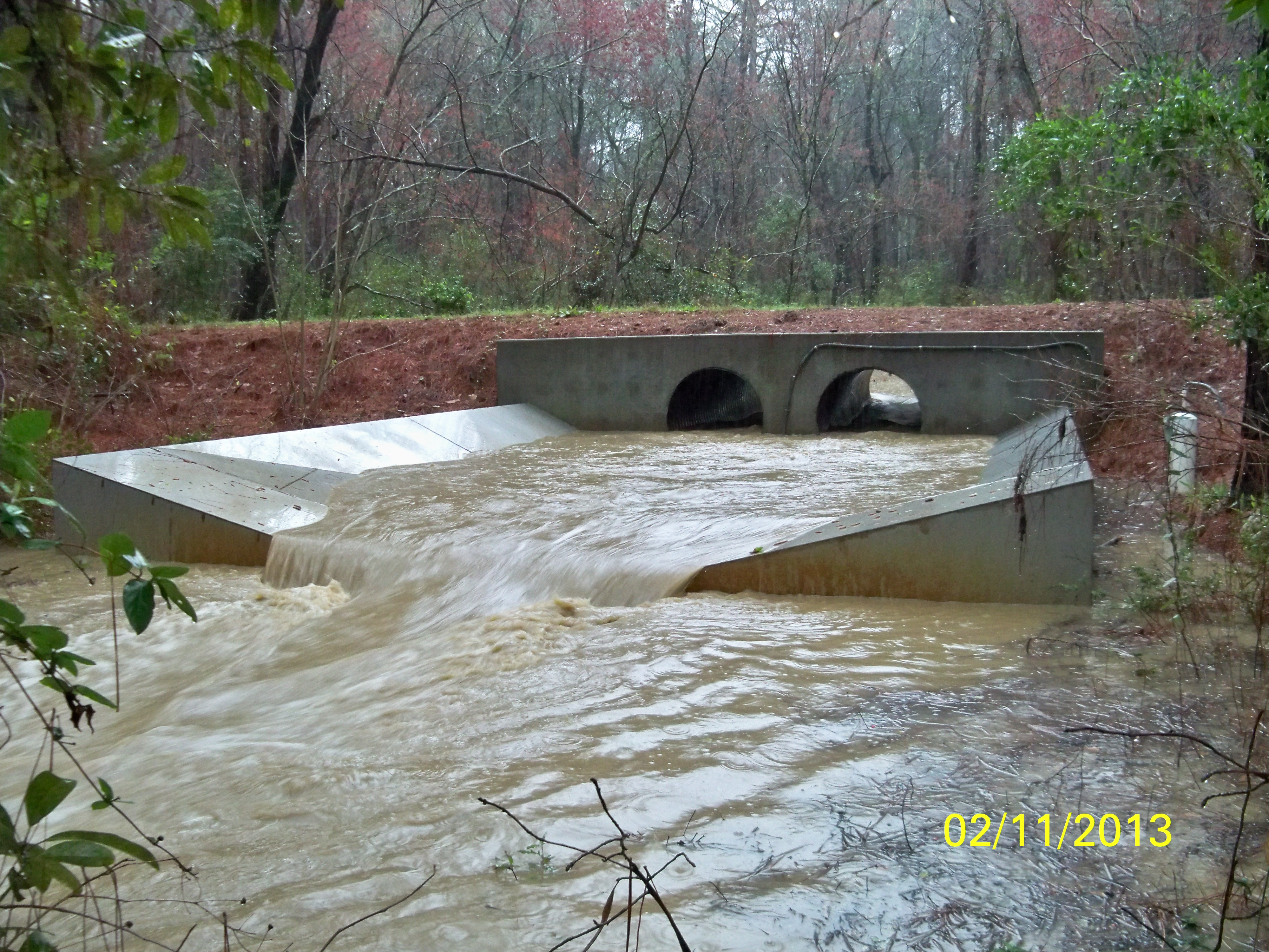
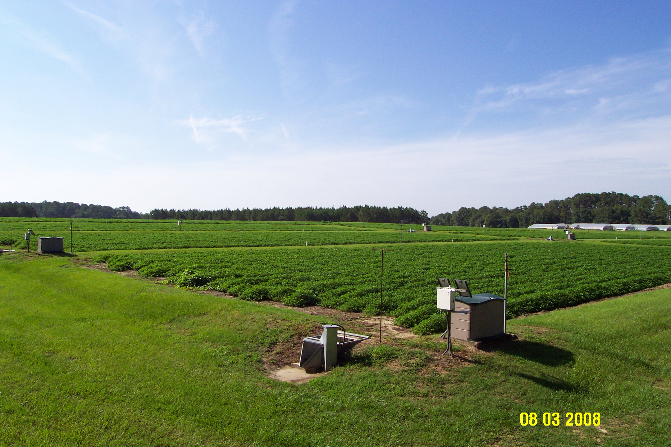
The primary experimental component of the GACP-LTAR is the LREW. Eight of the original stream monitoring stations include stream level devices (pressure transducers) and refrigerated automatic water samplers. Additional water monitoring stations were added, including 2 urban stations and 3 three river stations. Surface runoff stations monitor flow and water quality at 11 locations for plot specific projects. Rainfall measurements are made with tipping bucket rain gauges at 47 stations and two weighing bucket stations. Soil moisture measurements are also collected at 29 of the rainfall monitoring stations. Meteorological data are collected at 7 locations within the GACP-LTAR. Two stations are currently collecting eddy covariance data. Phenocam monitoring systems are collocated at two stations.
Monitoring data are collected through several means of telemetry. Data are retrieved via VHF radio, cellular and land line modems, with the exception being the high resolution eddy covariance data, which is manually collected.
Classification System
Farm Resource Regions: Southern Seaboard
Hydrologic Unit Codes (HUC-2): Region 3 (South Atlantic-Gulf)
National Ecological Observatory Network (NEON): D03 (Southeast)
NRCS Major Land: Southern Coastal Plain
EPA Ecoregion (Level III): Southeastern Plains
LTAR Research Emphases
The GACP-LTAR is focused on developing sustainably profitable agricultural production systems that:
- Include biofuels crops.
- Include integrated crop-livestock production.
- Improve environmental quality.Reduce agricultural water demand.
- Minimize the importation of animal feeds from outside the region.
- Incorporate production on marginal lands while maintaining certification for USDA Conservation Program support.
- Improve our understanding of the effects that interactions between environmental change and human use of natural resources have on the ecosystem services (e.g., food, fiber, feed and fuel production, clean water, and the role of carbon sequestration in soil quality improvement manifested primarily as nutrient and water retention and availability in the rooting zone) from agricultural landscapes.
Multi-site Initiatives
The GACP LTAR is participating in the following initiatives:
- Common experiment synthesis (Spiegal/Bestelmeyer)
- Phenocam (Browning)
- Water Budgets (Baffaut)
- Nitrogen and Carbon Budgets (Huggins)
- Crop classification modeling using synthetic aperture radar (SAR) (Coffin/Saliendra with NASA-DEVELOP)
- Southeastern Agricultural Ecosystem Services (Coffin/Swain)
- Nitrogen and Carbon Budgets (Huggins)
- Hot Spot-Hot Moments Denitrification (Groffman)
- LTAR Regionalization (Coffin)
Major Accomplishments
Quantifying hydrologic characteristics for Coastal Plain Watersheds. Research at the LREW has provided a conceptual understanding of hydrologic flow processes on Coastal Plain Watersheds. Studies have documented the proportioning of surface and subsurface movement of water from upland areas, thereby indicating the importance of subsurface flow on nutrient transport from upland agricultural areas, and at a larger scale, on watersheds with poorly-drained, low-gradient stream systems. The role of watershed physical characteristics on hydrologic response as well as on the seasonal nature of Coastal Plain watershed storm response characteristics has been well documented. This work directly addresses original objectives specified at the inception of the watershed research program and establishment of the LREW. Natural Resource Conservation Service hydrologic design procedures have been evaluated and improved methodologies and procedures developed for estimating agricultural drainage and storm runoff volumes for use in design and modelling applications on poorly-drained, flatland watersheds. The LREW data have been used in development of water yield and water balance information, hydrologic and water quality budgets, and rainfall-streamflow relationships, as well as in development of hydrologic and hydraulic parameters and improved methodologies required for natural resource and environmental quality model testing and simulations. Shirmohammadi et al. (1986) demonstrated that the primary runoff-producing areas within regional watersheds are the low-lying, poorly drained, near-stream areas where the water table is typically near the ground surface throughout the winter and early spring months. Equations commonly used for estimating storm peak flows in current water resource and quality models were tested on storm event data from the LREW and were found to overestimate peak flows by an average of 250% for all events. Improved regional peak flow equations were developed for estimating storm event peak flows occurring on regional watersheds based on watershed physical characteristics (Sheridan, 2002). Improved methods for estimating storm hydrograph characteristics, including the hydrograph time-to-peak parameters (Sheridan, 1994) and hydrograph shape parameters (Sheridan et al., 2002) were developed for hydrologic design and natural resource and environmental modelling applications on ungauged Coastal Plain watersheds. Equations were also developed for estimating mean maximum daily streamflow for a range of recurrence intervals on regional watersheds as a function of watershed drainage area (Sheridan and Mills, 1985).
Documentation of Riparian Ecosystem Services in Agricultural Landscapes. Scientists at SEWRL were the first to document the role of riparian buffers in controlling nonpoint pollution from agricultural watersheds (Lowrance et al., 1984; 1985). Research on the LREW documented the contributions of riparian buffers as long-term nutrient (N, P, Ca, and Mg) and sediment sinks in agricultural watersheds and led to the conclusion that artificial drainage had the potential for adverse water quality effects in the upper Coastal Plain by bypassing riparian buffers. This pioneering work set in motion a line of research that continues to this day and is now being pursued by numerous institutions around the world. The first Riparian Forest Buffer Specification developed by USDA-NRCS and USDA-FS was based directly on this research and the NRCS practice standard for Riparian Forest Buffer (Practice 391) is based on this research. Further studies focused on understanding the effect of management and restoration of riparian ecosystems on water quality and soil functions in a variety of management settings (Lowrance and Sheridan, 2005; Lowrance et al., 2000; Vellidis et al, 2002; 2003). These studies helped guide research efforts on riparian ecosystems that have been conducted by scientists at numerous other institutions including Smithsonian Environmental Research Center, Edgewater, MD; North Carolina State Univ.; Iowa State Univ.; Univ. of Rhode Island; USDA ARS, Beltsville, MD; USDA-ARS, Corvallis, OR; USEPA, Corvallis, OR; and USDA-ARS, University Park, PA in the U.S. and in Denmark, Italy, New Zealand and the United Kingdom.
Developed the Riparian Ecosystem Management Model (REMM). Based on research carried out in LREW, scientists at SEWRL developed REMM and which provides the only management and research tool for simulation of the water quality functions provided by riparian buffer systems of various sizes, soil, vegetation, and adjacent land uses (Inamdar et al., 1999a, 1999b; Lowrance et al, 2000). REMM has been or is being used by researchers at numerous institutions including Cornell, Ohio State, Iowa State, North Carolina State, Florida, Kansas State, USEPA, Athens, GA and USDA-ARS, Florence, SC (examples: Bhat et al, 2007; Graff et al., 2005). REMM was used to assess N removal in forest buffers in Poland, Denmark, and Italy (2001-2008) by the European Union funded NICOLAS project. REMM has been incorporated into the Soil Water Assessment Tool (SWAT) model by cooperators at the University of Guelph, Ontario, Canada. In addition, REMM is being used by agencies such as USEPA and the Delaware Dept. of Environmental Protection to estimate the effectiveness of riparian buffers. Continued development of REMM was recently named a highest priority need by researchers in the USEPA Office of Pesticide Programs Environmental Fate and Effects Division.
Determined Agricultural Effects on Water Quality Impairment. In partnership with Scientists from the University of Georgia, SEWRL scientists used the LREW and similar Coastal Plain watersheds to show that: 1) algal production in streams was generally limited by light availability but that in areas where riparian forests did not shade the stream, excess algal production and oxygen demand may occur due to elevated stream levels of nutrients; 2) sediment oxygen demand (from buried leaf litter and other forest derived organic matter) was higher than estimated on other coastal plain streams; and 3) pathogenic bacteria are more likely to be found in streams draining agricultural watersheds receiving poultry litter than in reference streams (Carey et al., 2007; Todd et al, 2009; Vereen et al, 2007). Findings from these studies have been used by Georgia-EPD to evaluate decisions concerning impaired streams in the coastal plain and numerous agricultural streams have been removed from the impaired list partly as a result of this work.
Validation and Testing of Remote Sensing Platforms. The LREW has played a key role in the validation of aircraft and satellite based sensors. Some of the earliest studies to relate aircraft based measurements to soil moisture conditions on the ground were conducted in 1978 on the LREW (Jackson et al., 1981). Subsequent remote sensing studies were conducted to examine runoff characteristics (Slack and Welch, 1980), evapotranspiration (Szilagyi, 2000), and water quality (Settimi et al., 2010; Wu et al., 2009). More recently, the LREW has been one of the key ARS locations for remote sensing research on soil moisture (Bindlish et al., 2003; Bosch et al., 2006; Bryant et al., 2008; Cashion et al., 2005; Finn et al., 2011; Giraldo et al., 2009a,b; Jackson et al., 2005, 2010, 2011; Thoma et al., 2008). Soil moisture products from satellite sensors have the potential to dramatically improve the accuracy and timeliness of weather forecasts and agricultural assessments used by USDA, NOAA, and other agencies. Data collected from the LREW has helped to validate and strengthen research programs utilizing satellite based data from LANDSAT, RADARSAT, ADEOS-II, and AQUA, The LREW was one of the key field locations for the 2003 Soil Moisture Experiments (SMEX). SMEX-GA involved 10 research scientists, 20 graduate students, and a 30-person field crew. The research was the first successful large scale application of remote sensing techniques in the heavily vegetated Coastal Plain. The ARS watershed network has been instrumental in building justification of the launch of the SMAP satellite currently scheduled for 2014. SMAP will provide global measurements of soil moisture and its freeze/thaw state. The SMAP satellite is the first satellite to be dedicated to soil moisture measurements.
Validation and Testing of Watershed Models. The long-term high quality hydrologic and climatic data collected on the LREW have played key roles in advancing the ARS stature as the premier developer of field and watershed scale agricultural models. Scientists at the SEWRL have worked on development and testing on several farm and watershed scales models including AGNPS, Ann-AGNPS, APEX, and SWAT. Rigorous testing and examination of SWAT model simulations have 1) increased confidence in the model, 2) provided valuable insight on hydrologic and water quality conditions in the watershed, and 3) led to critical model improvements. (Bosch et al., 2004, 2010; Chin et al., 2010; Cho et al., 2009; Cho et al., 2010a,b; Feyereisen et al., 2007, 2008; Veith et al., 2010; White et al., 2009; Zhang et al, 2009). Research at the LREW has also led to strong scientific partnerships with several scientists working on model application and testing (Suttles et al., 2003; Van Liew et al, 2005, 2007; Wu et al., 2008; Zhang et al., 2011).
Satellite-Derived Maps of Conservation Tillage. A methodology for rapid and unbiased assessments of conservation tillage mapping was developed by the SEWRL that combined a simple land use classification algorithm with two remotely derived indices and could reduce efforts to verify producer compliance with USDA cost-sharing programs by >60%. Results varied from 71 – 78 % accuracy and were best when a minimum of 22 conventional and 22 conservation tillage sites were surveyed. Successful delineation of conservation versus conventional tillage regimes within the LREW was completed as part of the CEAP effort. The tool can provide regular assessments of conservation tillage adoption at the watershed scale and would facilitate federal conservation program implementation, natural resource inventories, and provision of input data for soil and water quality models.
Development and Testing of Mitigation Strategies that Reduce Pesticide Inputs to Ground- and Surface water. Water contamination through off-site movement of pesticides presents significant threats to Coastal Plain ecosystems and drinking water resources. SEWRL scientists have improved understanding of pesticide fate and transport at field, farm, and watershed scales, provided simulation models that effectively quantify these processes, and shown that that low-cost conservation practices may substantially reduce water quality threats. Some of the earliest studies that demonstrated efficacy of grassed waterways in reducing pesticide runoff to streams were conducted at SEWRL (Asumussen et al., 1977; Rohde et al., 1980). Subsequent studies showed that riparian buffers play important roles in attenuating pesticide movement at landscape scales (Lowrance et al., 1997). SEWRL research focused on in-field conservation practices including use of cover-crops, conservation-tillage, and herbicide irrigation incorporation and reformulation can substantially reduce pesticide leaching and runoff while maintaining pest control efficacy (Potter et al., 2004; Potter et al., 2006; Potter et al., 2007; Potter et al., 2008; Potter et al., 2009; White et al., 2009; Potter et al. 2010; Potter et al. 2011). This research has improved the accuracy of pesticide risk assessments used for pesticide registration by contributing data that allow regulatory agencies to quantitatively evaluate conservation practice impact.
Development of Applied Technology for Utilization of Animal Wastes. Scientists at SEWRL: developed and tested overland flow grass-forested vegetated buffer systems for utilizing nutrients contained within animal lagoon wastewater that improved water quality enough to meet standards (Entry et. al., 1999a, 1999b; Hubbard et al., 1998; Hubbard et. al. 1999; Lowrance et al., 2001; Hubbard et al., 2003; Hubbard et al., 2007); demonstrated the environmental efficacy of applying dairy lagoon wastewater to triple cropping systems (Vellidis et al., 1996; Hubbard et al., 2000; Newton et al., 2003); determined poultry litter mineralization rates, appropriate application rates, and long term impacts on soil chemical properties in the Coastal Plain (Gascho et al., 2001; Gascho and Hubbard, 2006; Hubbard et al., 2008); and demonstrated that vegetation can be grown on floating mats in highly contaminated and low oxygen lagooned wastewater from CAFOs and removes N and P from lagoons (Hubbard et al., 2004; Hubbard, 2010; Hubbard et al., 2011).
Development of the CREAMS and GLEAMS Models. ARS-Tifton-SEWRL has been instrumental in the development (Knisel, 1980; Leonard et al., 1987), testing (Leonard et al., 1990), application (Leonard & Knisel, 1988; Truman & Leonard, 1991), and improvement (Bosch, 1991; Truman et al., 1998) of the Chemicals, Runoff, and Erosion from Agricultural Management Systems (CREAMS) and Groundwater Loadings Effects of Agricultural Management Systems (GLEAMS) models. The CREAMS model was developed to predict nonpoint source fluxes(runoff, sediment, nutrients, pesticides) from field-sized agricultural areas (Knisel, 1980) and evaluated best management practices that would be useful in reducing nonpoint source pollution. The CREAMS model was technology that evaluated the impact of management practices on water quality that subsequently could be transferred to the Soil Conservation Service action agency. In the early 1980s, as a result of groundwater contamination by pesticides, CREAMS was modified to consider the impact of agricultural management practices on pesticide leaching below the root zone. Thus, the GLEAMS model was developed to evaluate complex interactions among soils, pesticide chemistry, weather, and management decisions that affect chemical movement in and through the soil root-zone (Leonard et al., 1987). The GLEAMS model is a field-scale, root-zone model. Both CREAMS and GLEAMS have hydrology, erosion, nutrient, and pesticide components, and operate on a daily time step. Both CREAMS and GLEAMS have numerous users (state and federal governments, private consultants, industry) in multiple countries (40+) around the world, and have had regional, national, and international impact. Both models have created awareness over the years of water quality problems from nonpoint source pollution and aided in understanding of how management practices reduce nonpoint source pollution from agricultural scenarios, especially those practices that action agencies (e.g., NRCS) must evaluate.
Other Networks (where data is shared)
- SCAN
- CEAP
- Phenocam
- STEWARDS
- USDA Soil Moisture Working Group
- JECAM
- AGMIP
- GEOGLAM
Site Name
Gulf Atlantic Coastal Plain
Website
https://www.ars.usda.gov/southeast-area/tifton-ga/southeast-watershed-research
Location
Tifton, Georgia
Established
1965
Area (km2)
Little River Experimental Watershed (LREW), 334 km2
Leader(s)
Alisa Coffin (Site Lead), David Bosch, Dinku Endale, Oliva Pisani, William Anderson, and Dawn Olson


ABOUT LTAR
The USDA Agricultural Research Service (ARS) Long-Term Agroecosystem Research network consists of 18 Federal and university agricultural research sites with an average of over 50 years of history. The goal of this research network is to ensure sustained crop and livestock production and ecosystem services from agroecosystems, and to forecast and verify the effects of environmental trends, public policies, and emerging technologies.