Photo Gallery
Some selected photos from LTAR sites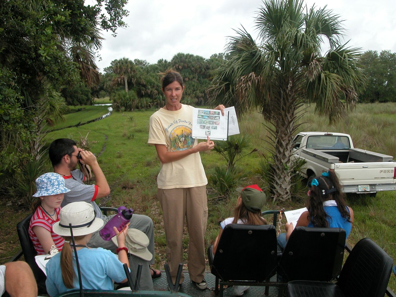
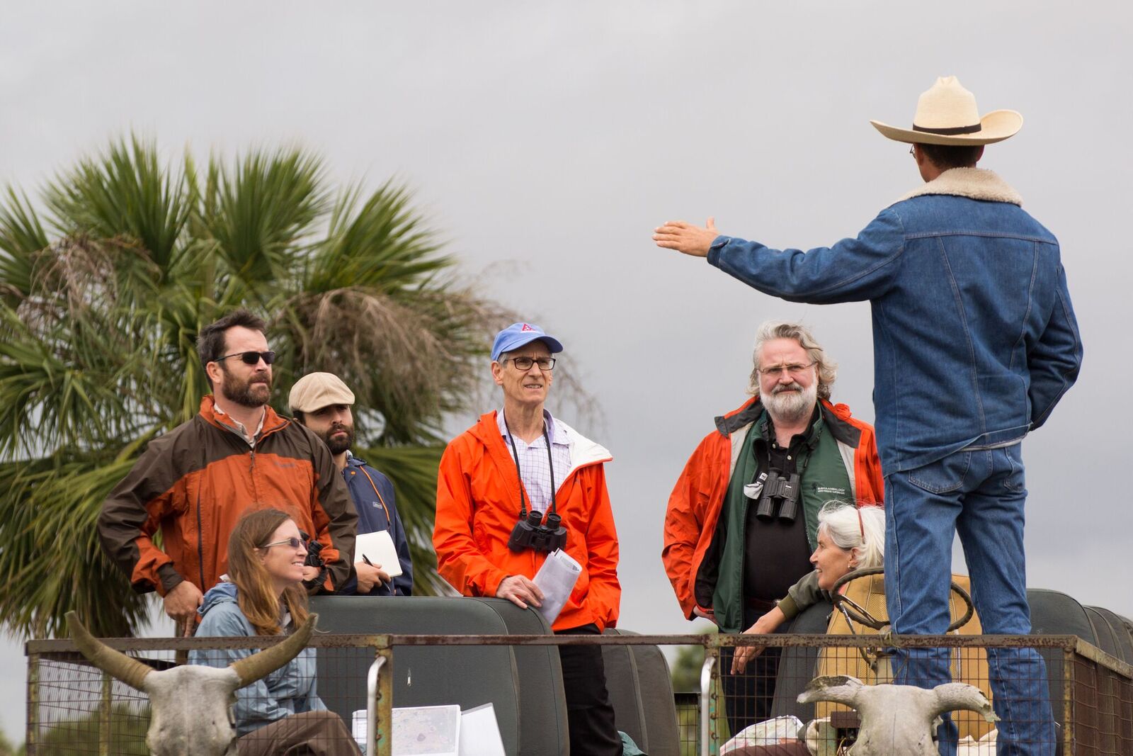
Tour group gets an amphibian talk
Ogletree
UCB: Lysine app in LTAR Lysimeters-0688
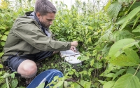
Researcher Kevin Kahmark adjusts fittings on automatic gas sampling chamber.
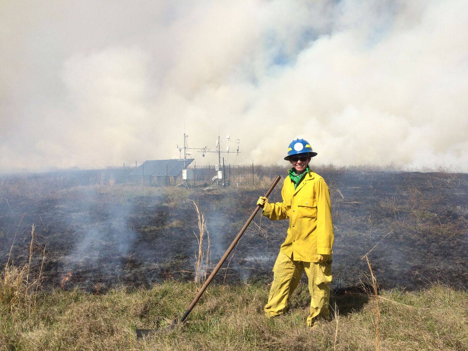
A pasture burn with an Eddy Flux tower in the background
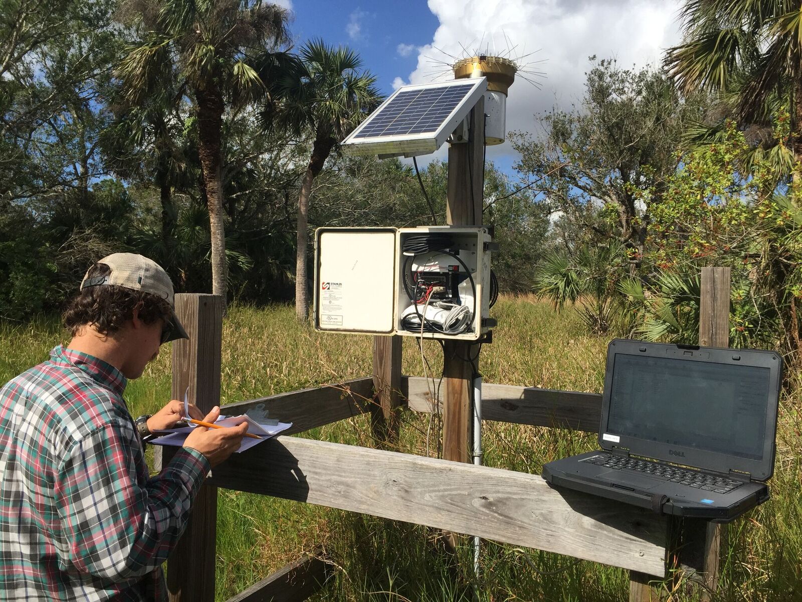
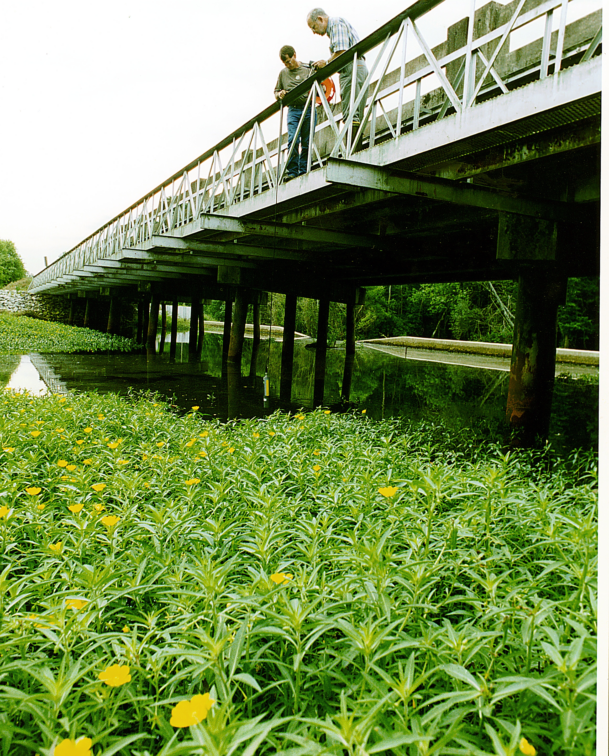
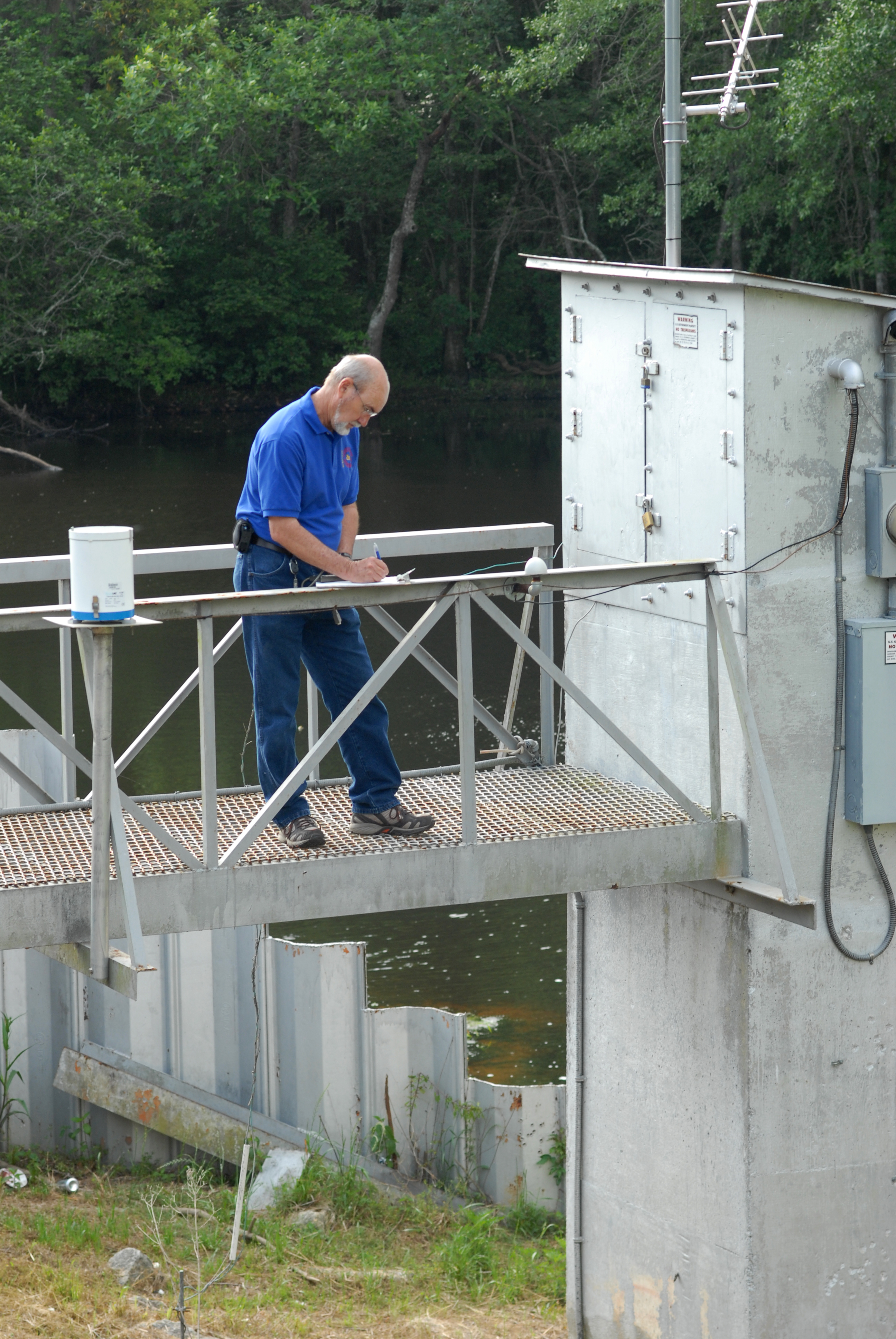
Field Researchers at water level monitoring station
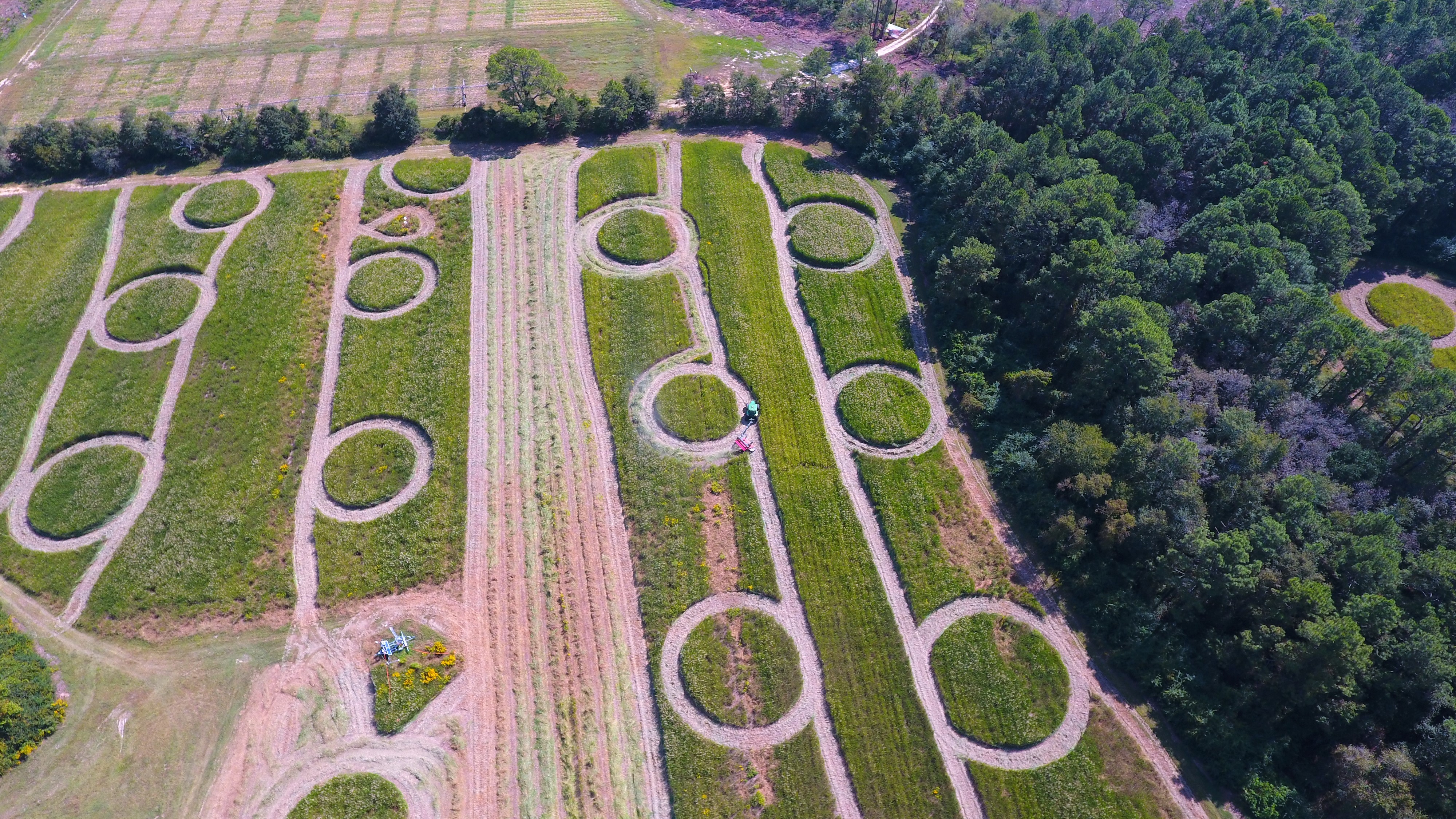
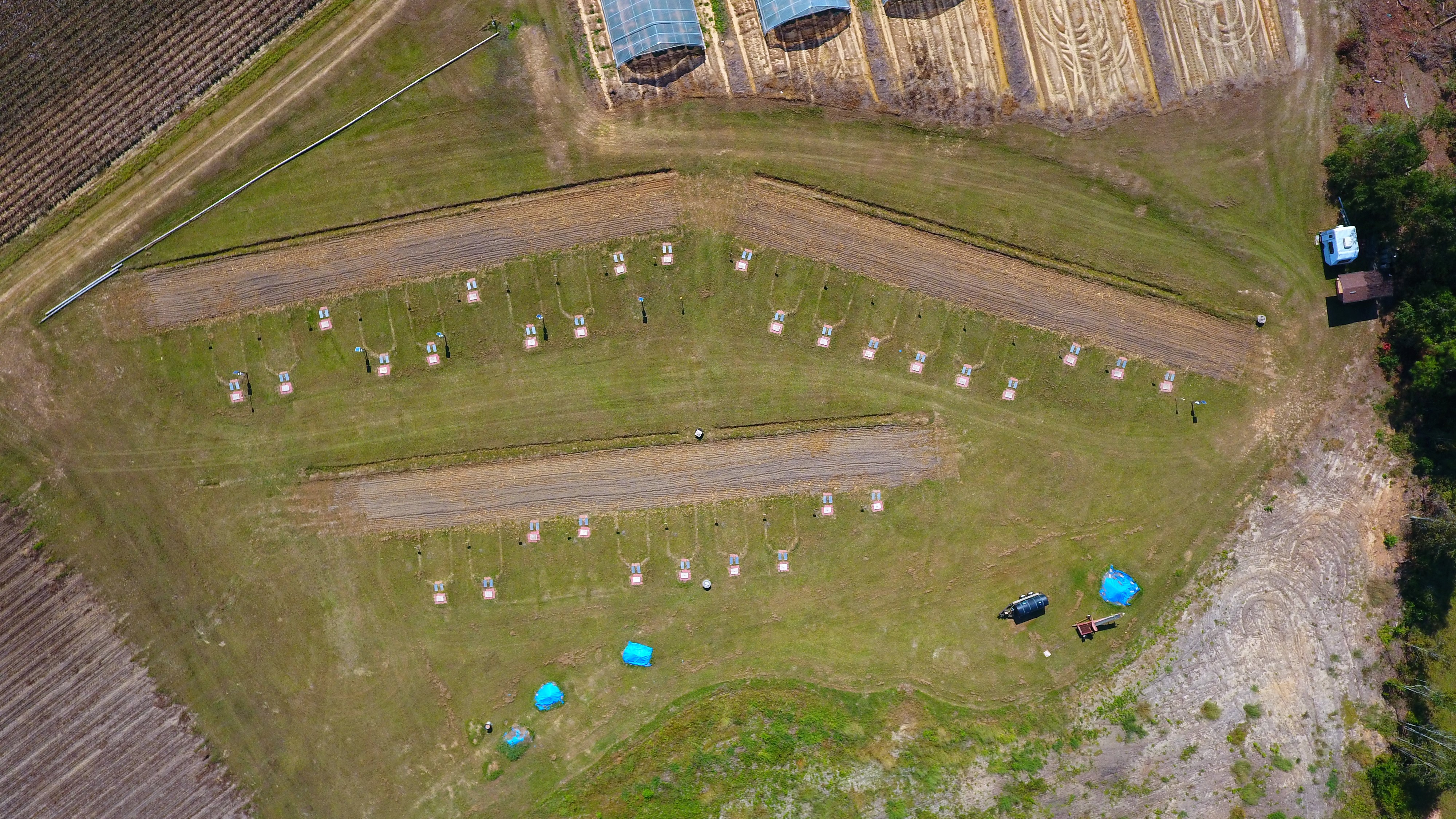
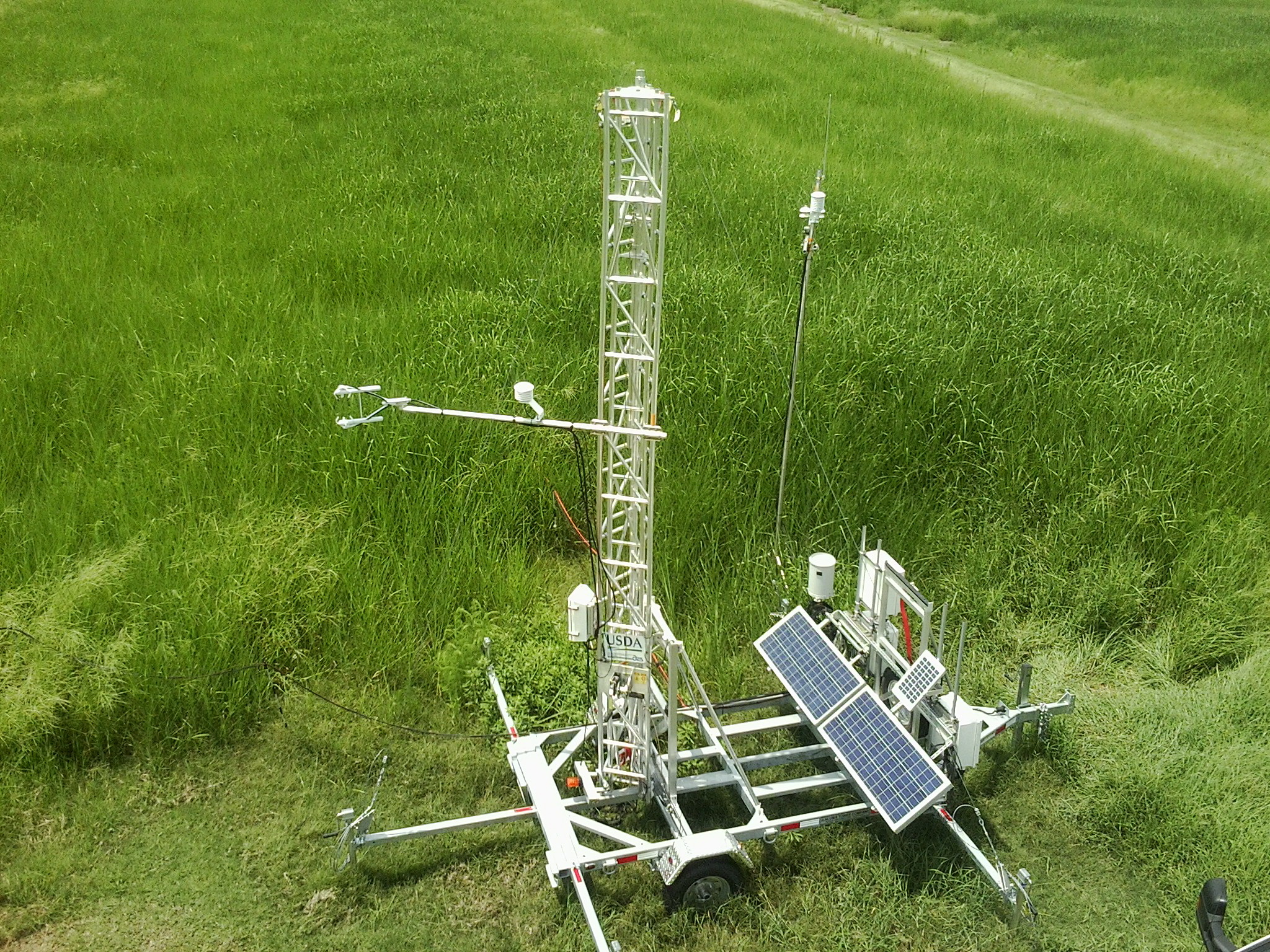
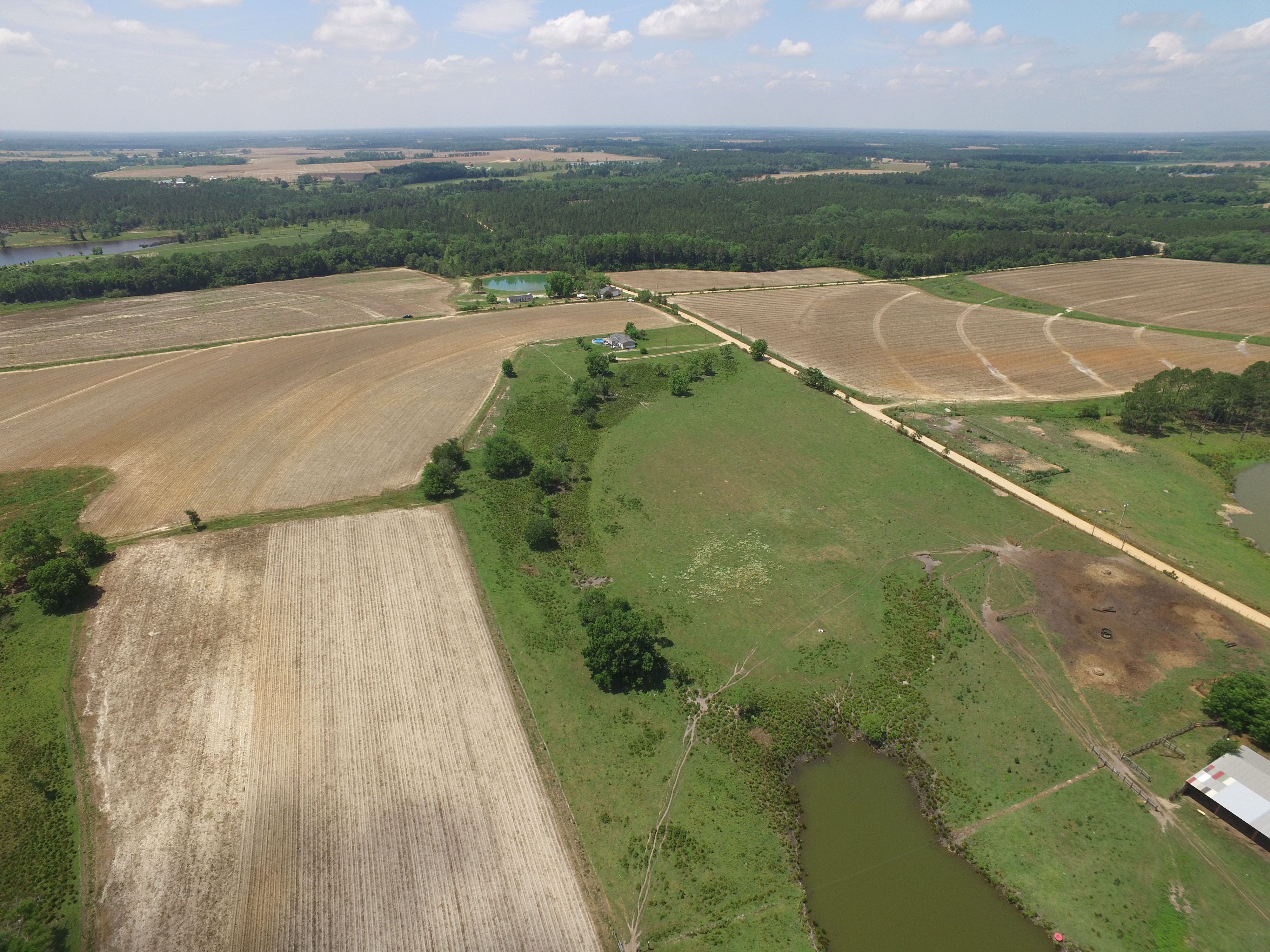
DJI flight
UCB: Lysine app in LTAR Lysimeters-0678
GACP Tifton GA Little River WQ sampling 2
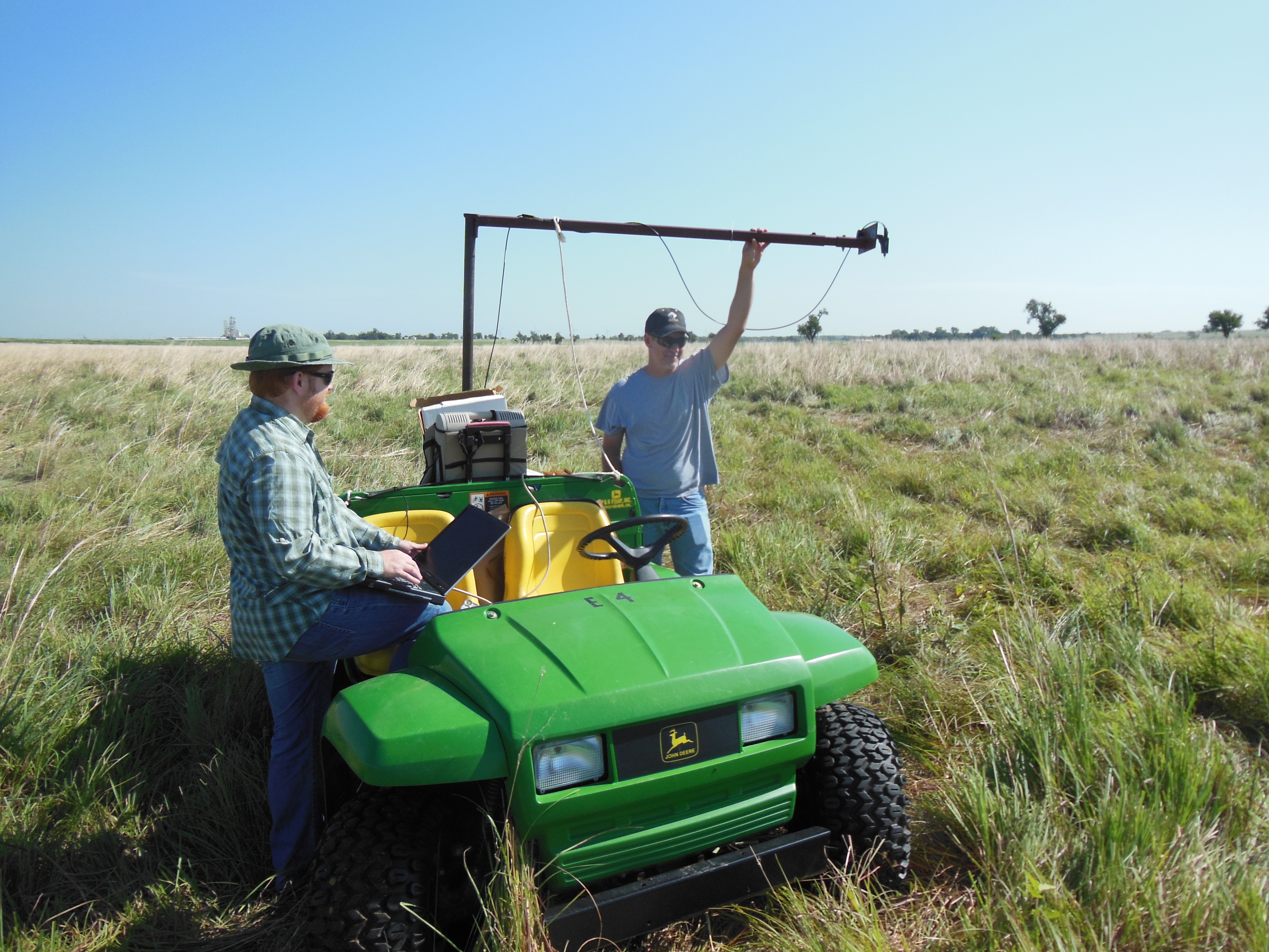
SP #13 hyperspectral data from native prairie. Collecting data for analysis of forage biomass and quality from Common Experiment native prairie site.
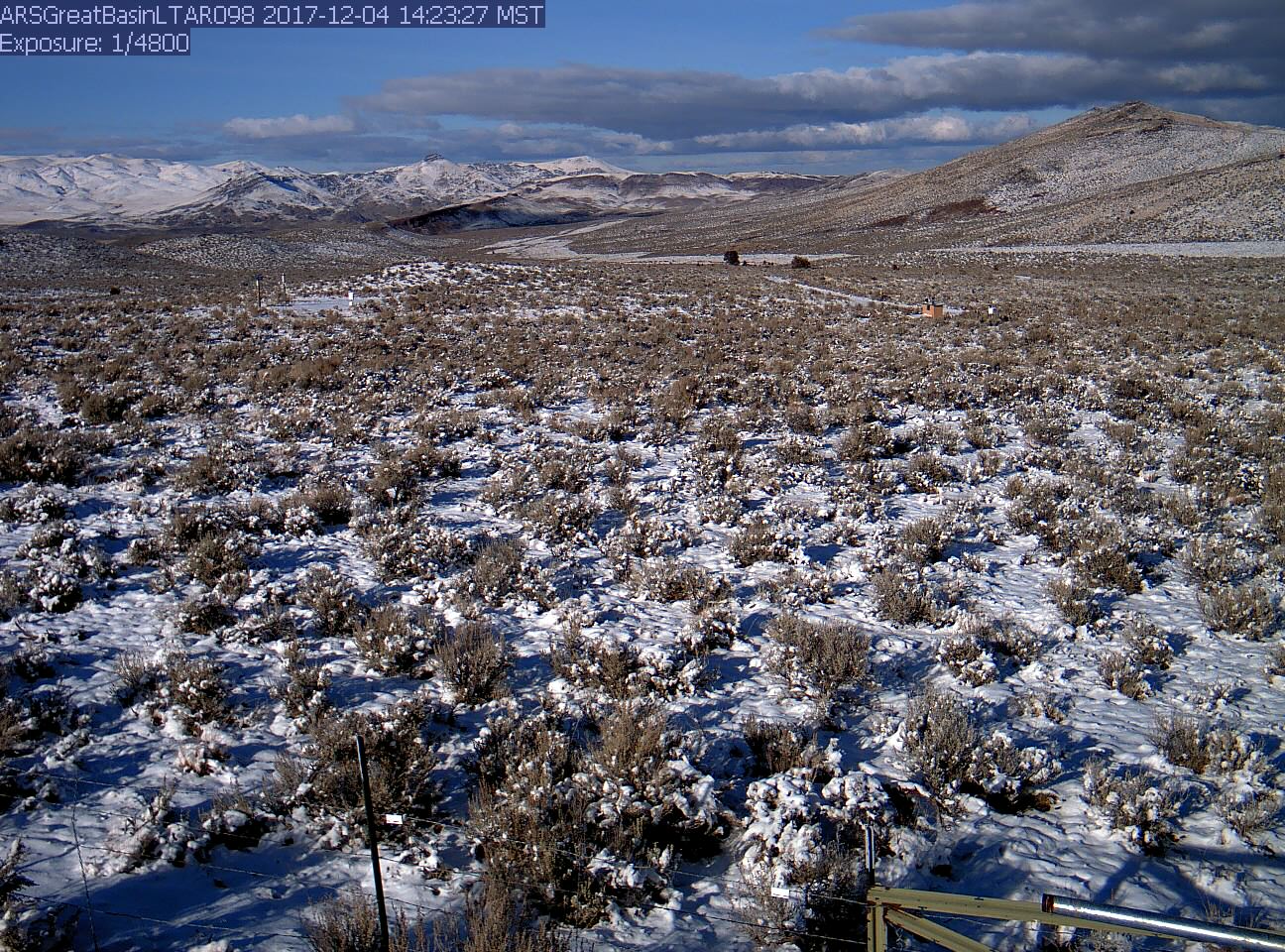
Carbon dynamics, including net ecosystem exchange, litter fall, soil respiration, plant productivity and related water uptake, are monitored along an elevational gradient. This phenocam view is of the lowest elevation, Wyoming big sagebrush, site. Snow is common, but ephemeral during the winter.
Swamp buggy tour at the MAERC site
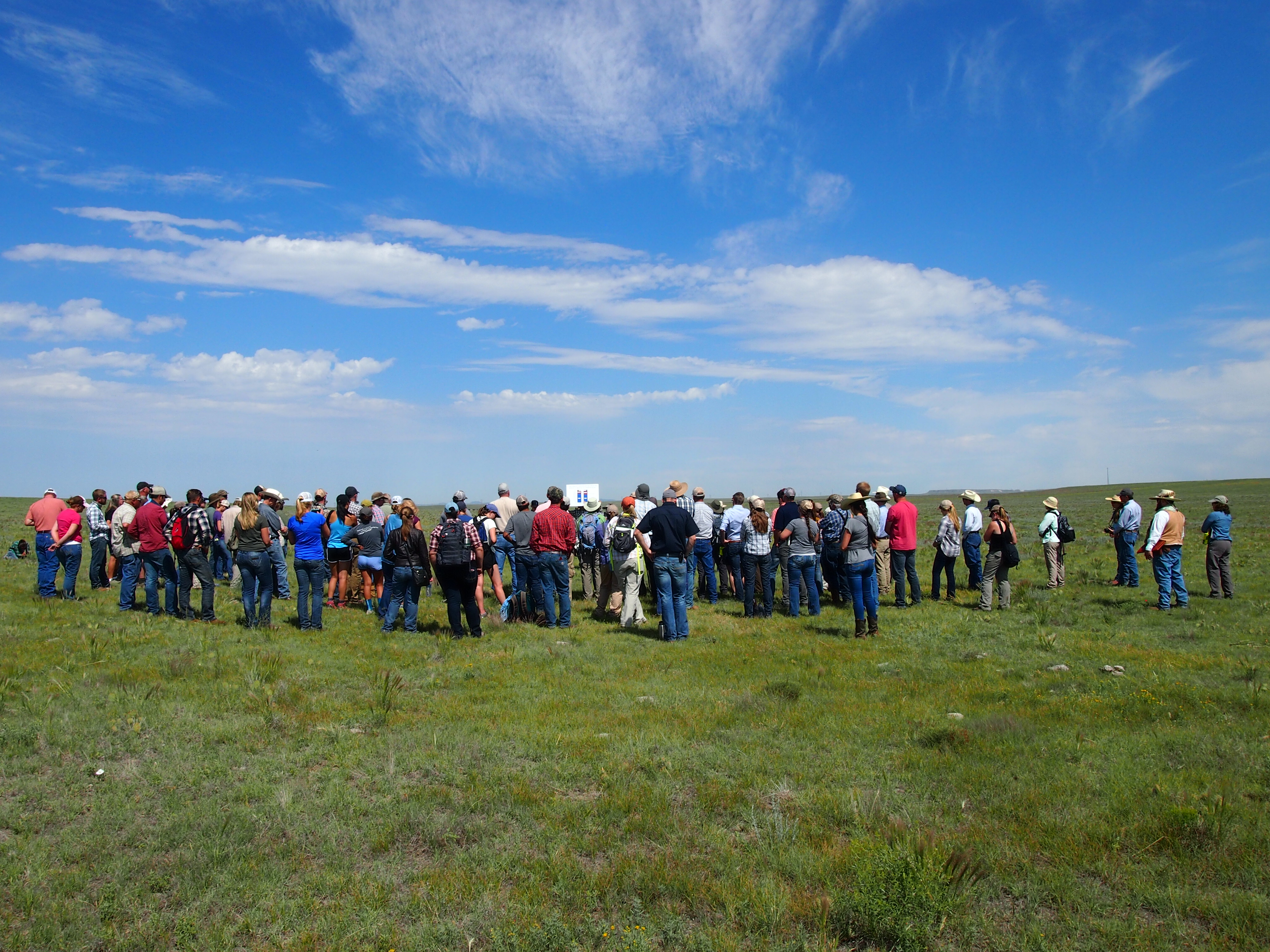
Large field day crowd learning about the Collaborative Adaptive Rangeland Management experiment (part of the LTAR Common Experiment) at the Central Plains Experimental Range
Winter 2016 CFG LTAR Input_Cropped
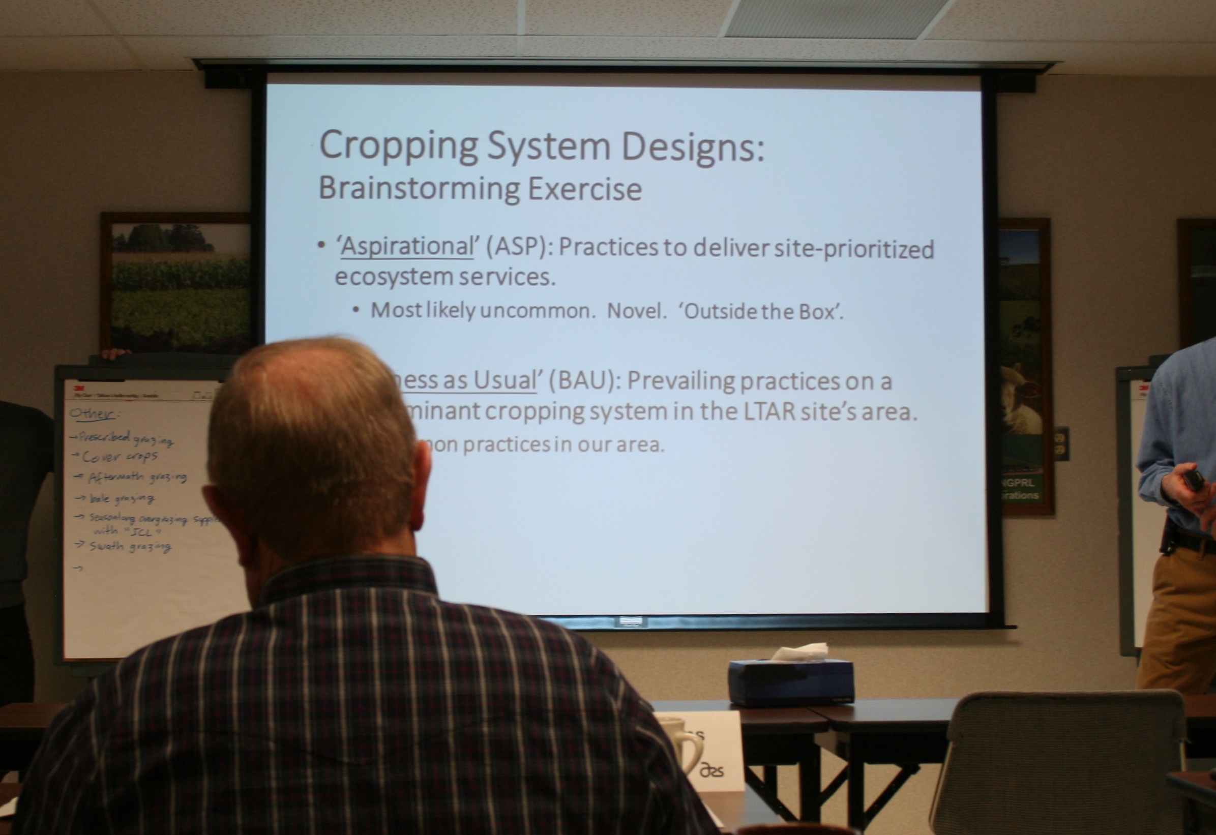
Gathering input from the NGPRL Customer Focus Group about teatment designs for LTAR Common Experiment
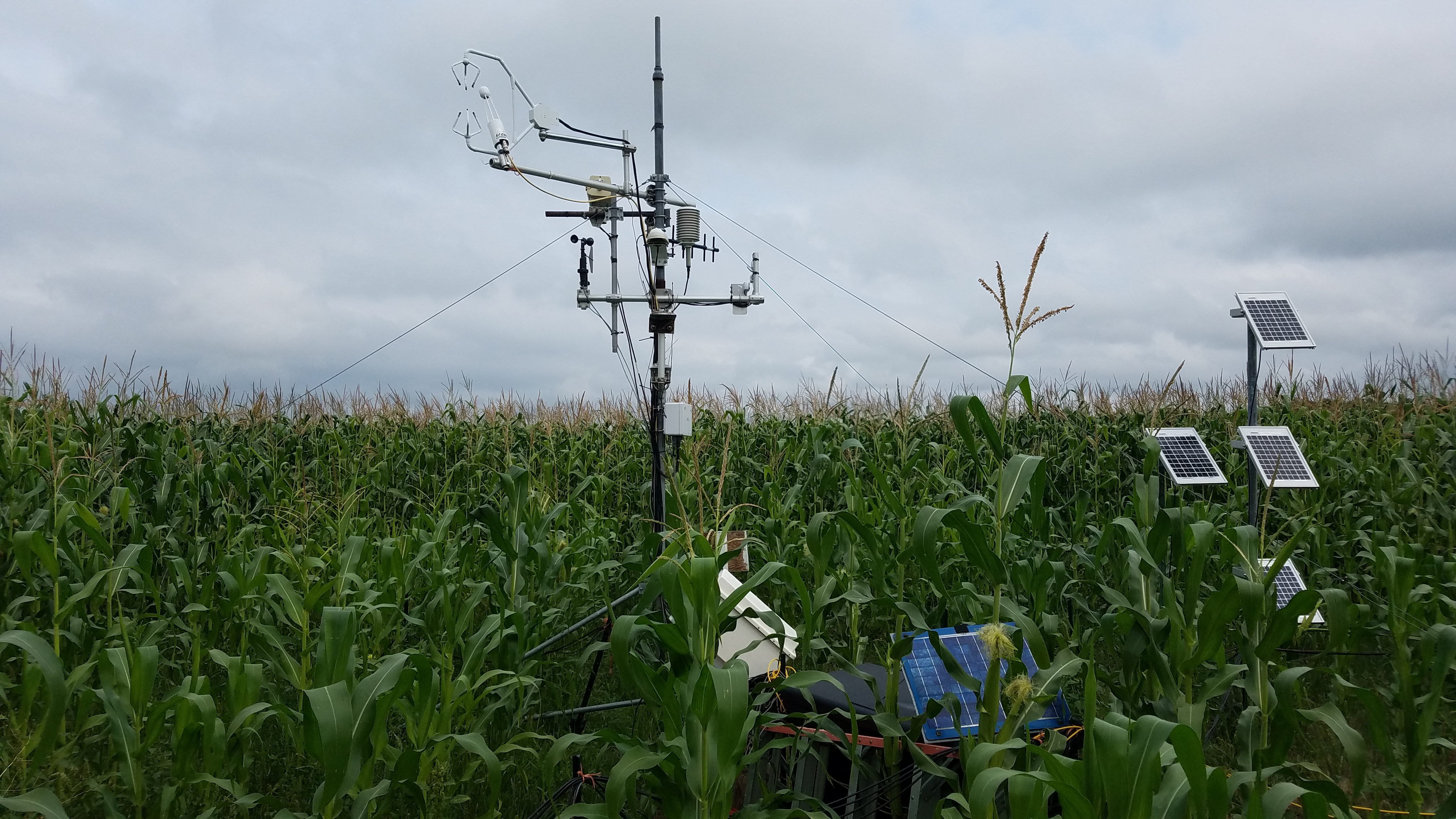
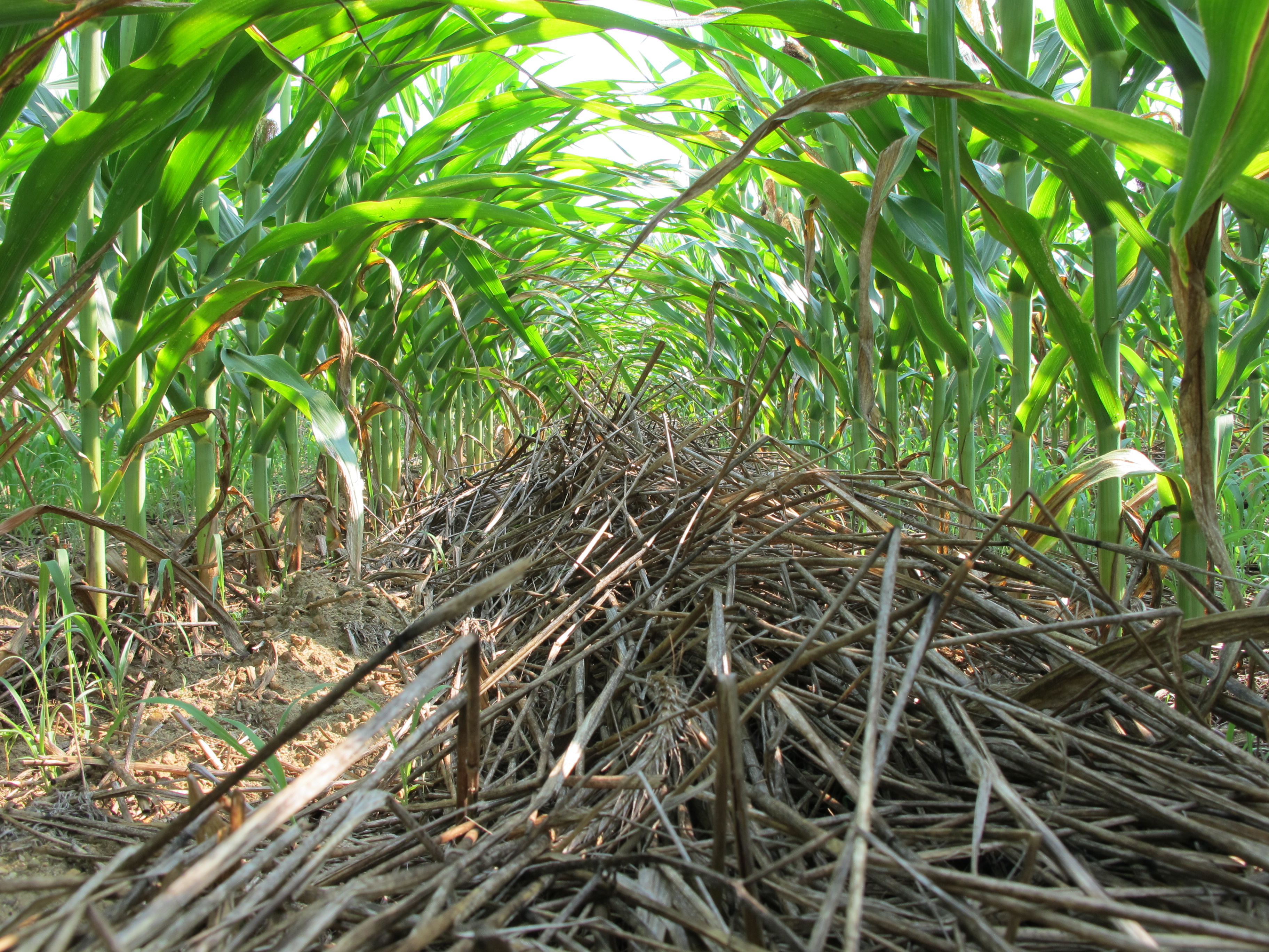
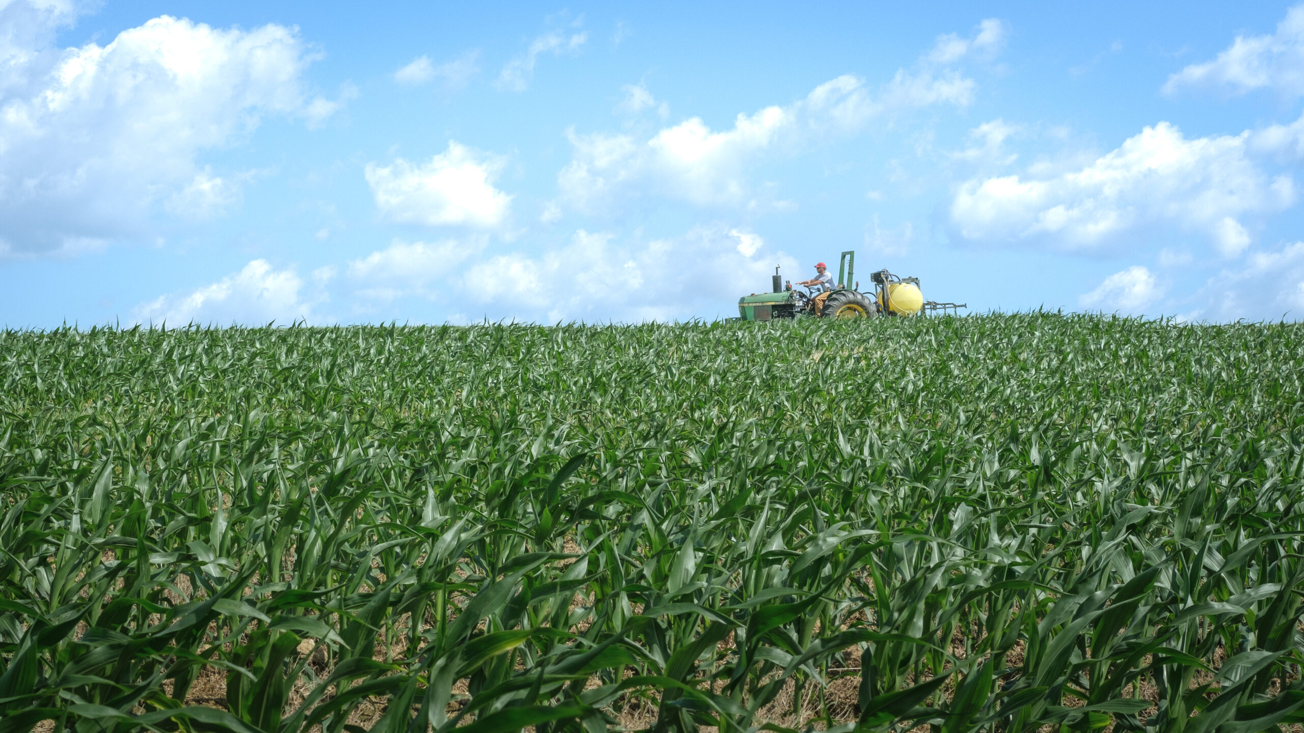
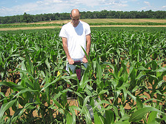
Corn at peak biomass at LTAR field site.
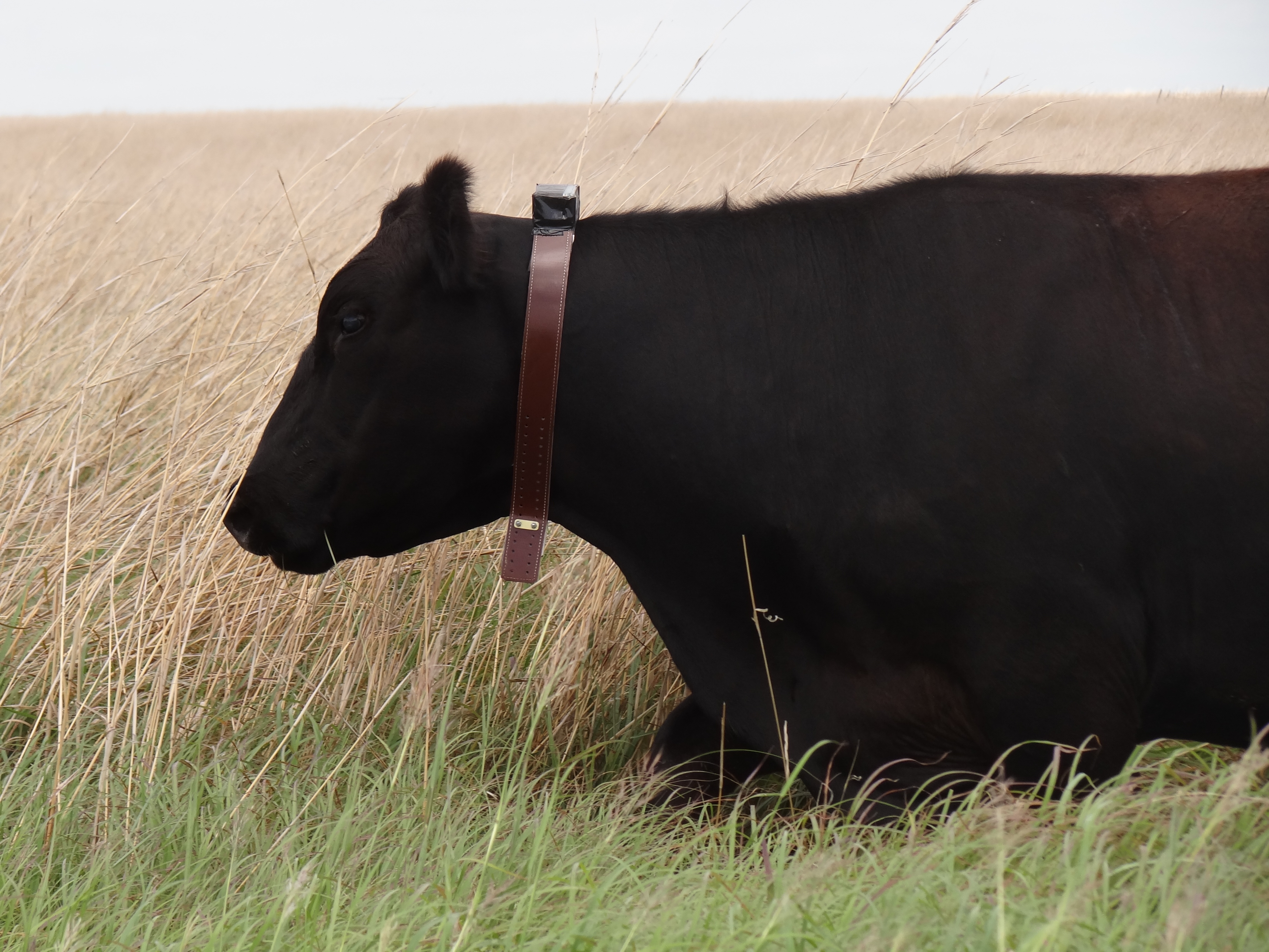
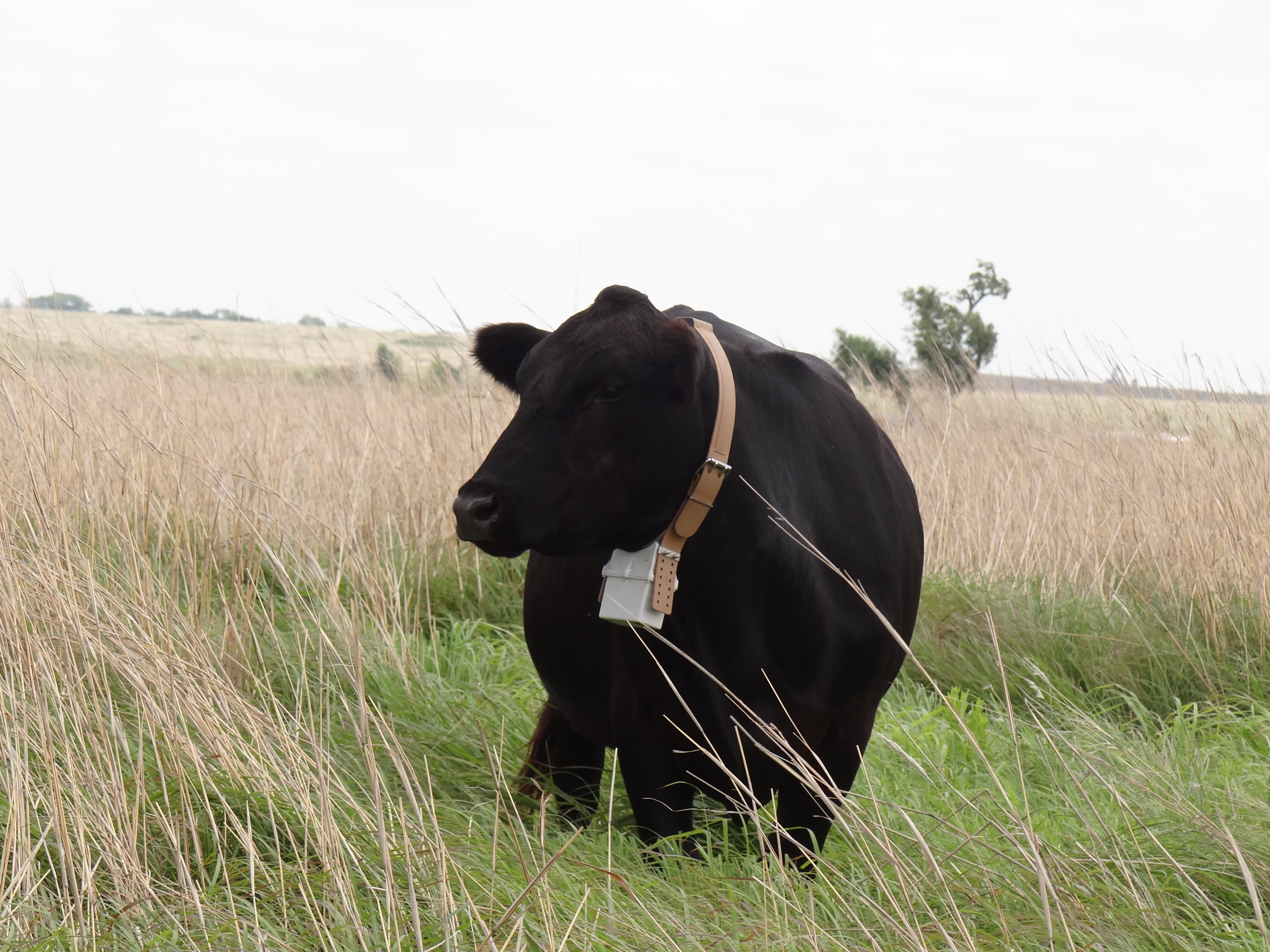
GPS collar to monitor grazing patterns of beef cow on native praire pasture. Southern Plains LTAR, USDA ARS, El Reno, Oklahoma. (Photographer: Rick Todd).
Collecting consumed forage from canulated steer as part of an intensive campaign of the NIFA-funded Grazing CAP. Collaborators: SP LTAR, ARS Bushland, ARS Woodward, University of Oklahoma, Oklahoma State University, the Noble Research Institute.

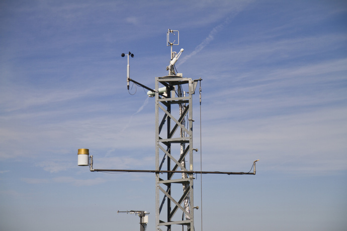
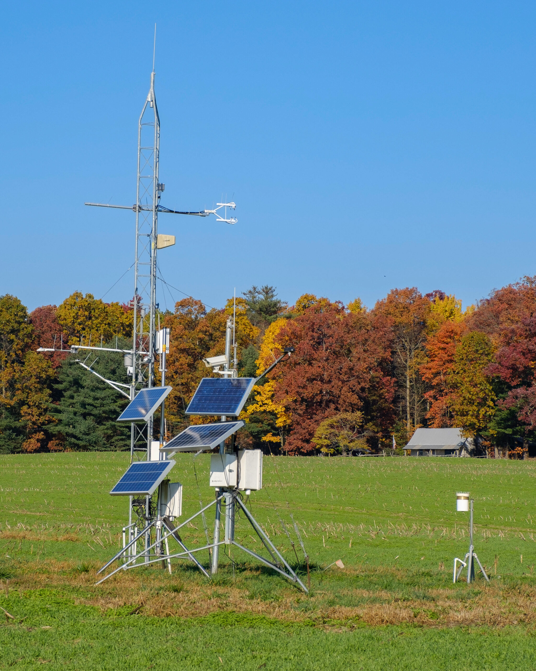
NGPRL micrometerorological station at LTAR field site-summer.
Bosch 043

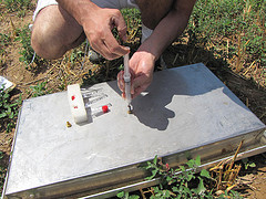
KBS LTER investigator Kevin Kahmark analyzes greenhouse gas samples in the lab; Photo Credit: K.Stepnitz, Michigan State University
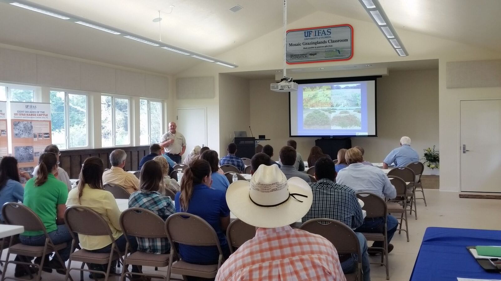
Outreach at the University of Florida
Ian Leslie, USDA-ARS Physical Scientist, taking deep core soil samples at Cook West for baseline soil characterization.
A plant diversity plot at ArchboldUF_RCREC
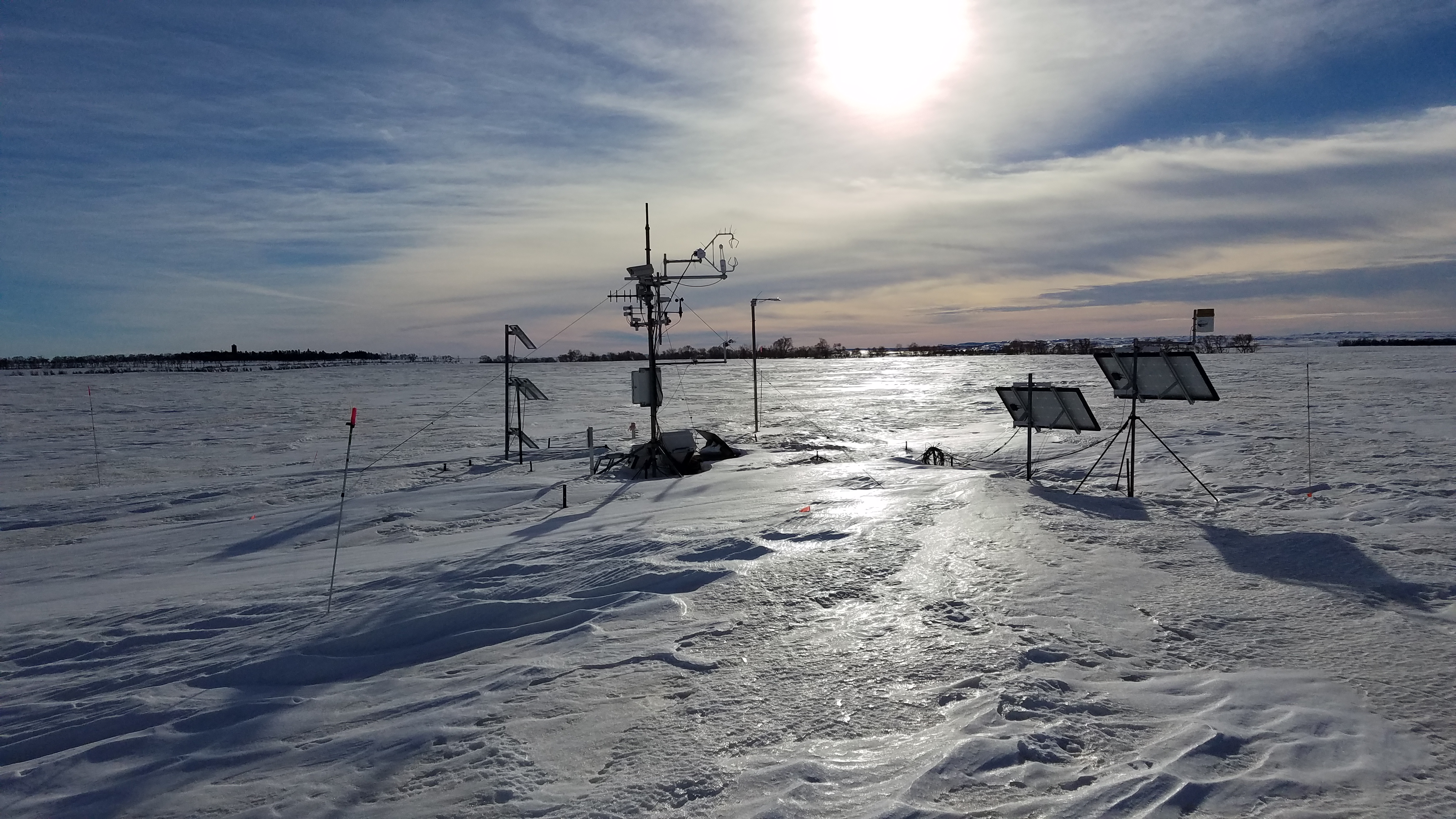
NGPRL micrometeorological station at LTAR field site-winter
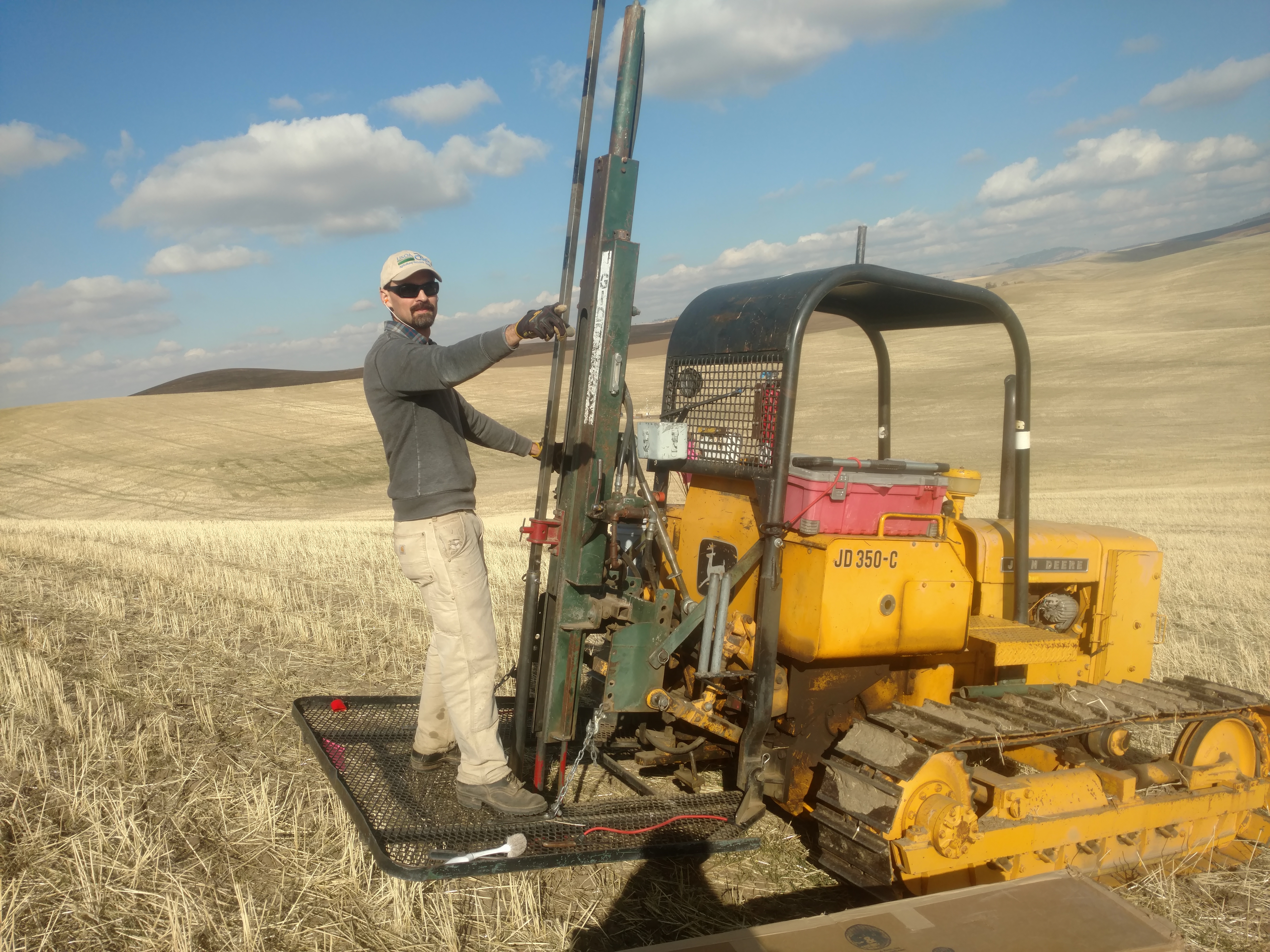
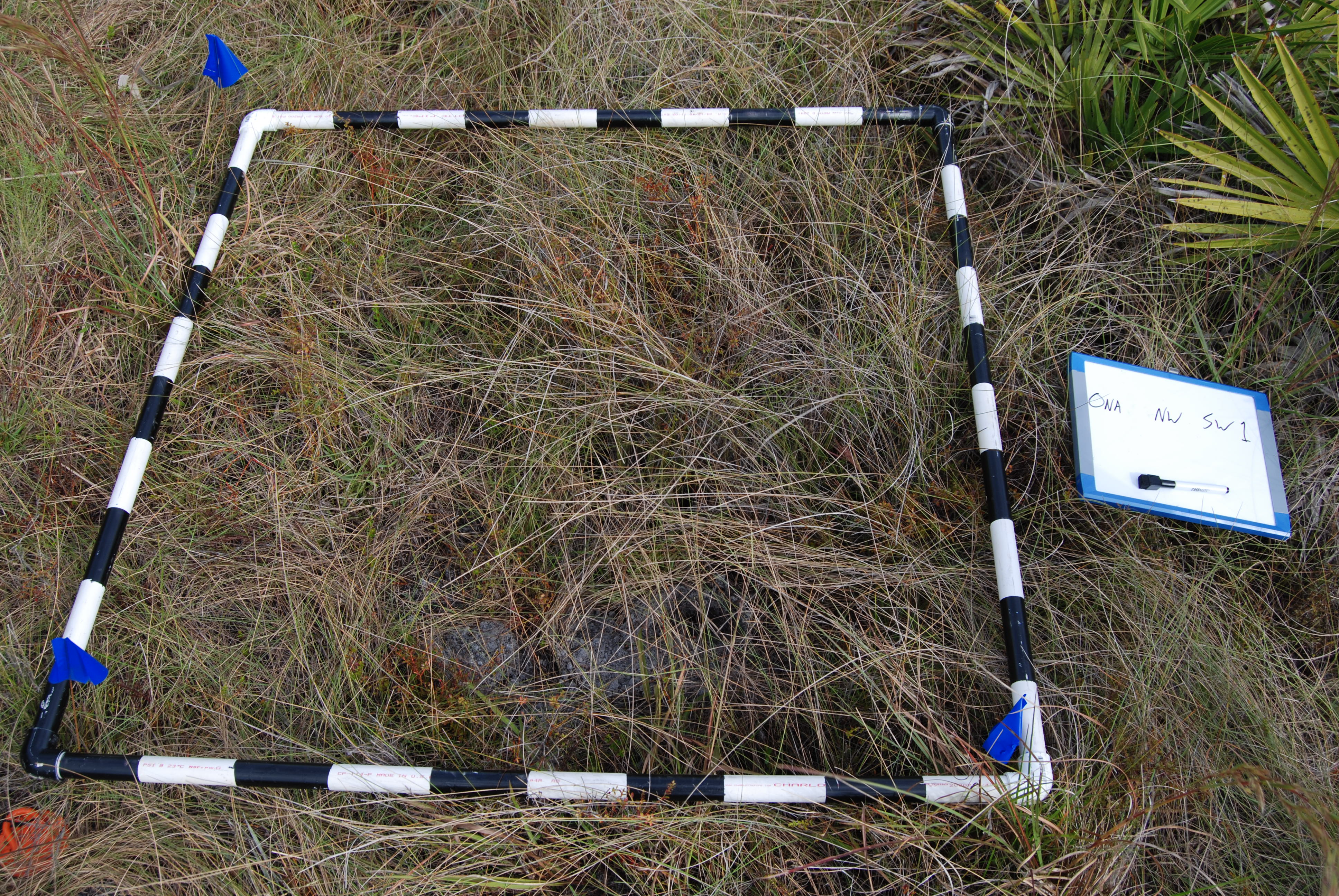
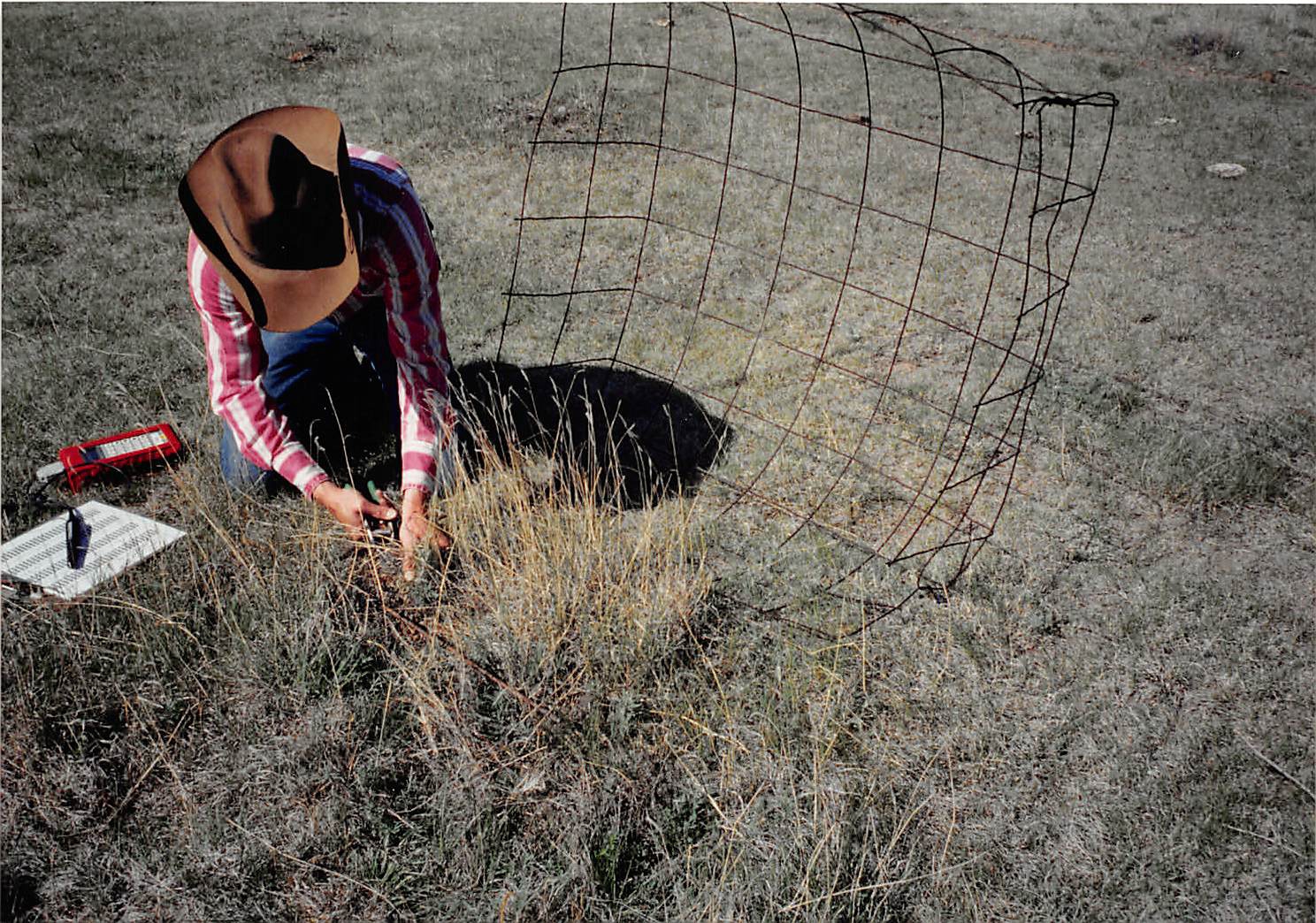
Establishing plot corners for the LTAR plot-scale experiment.
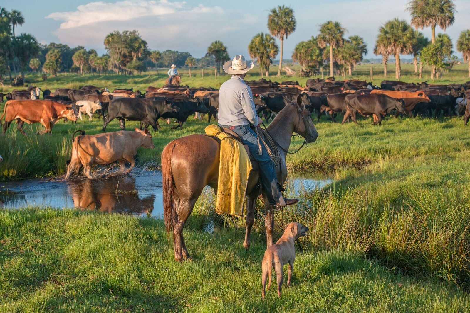
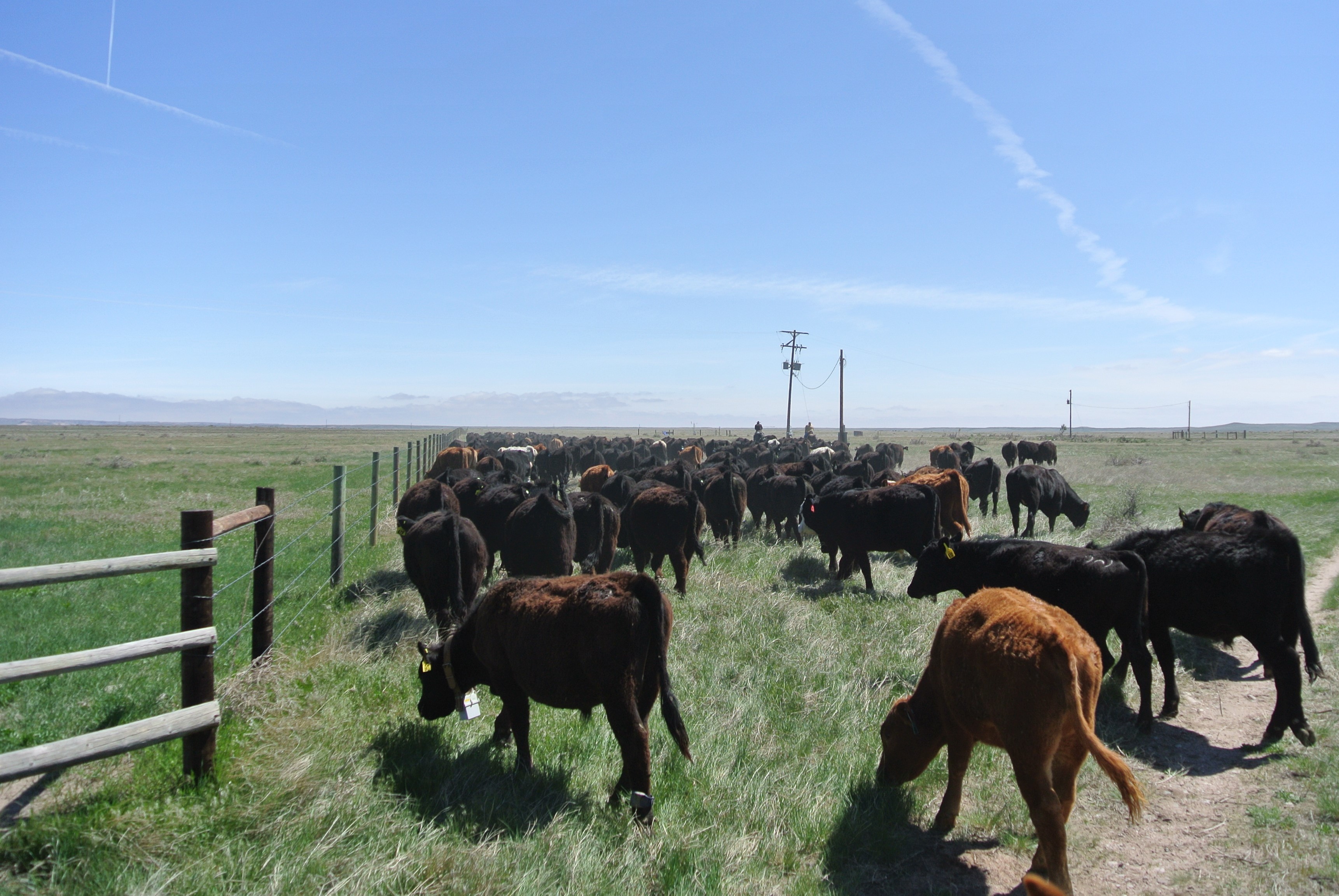
A cowboy herds cattle on an improved pasture
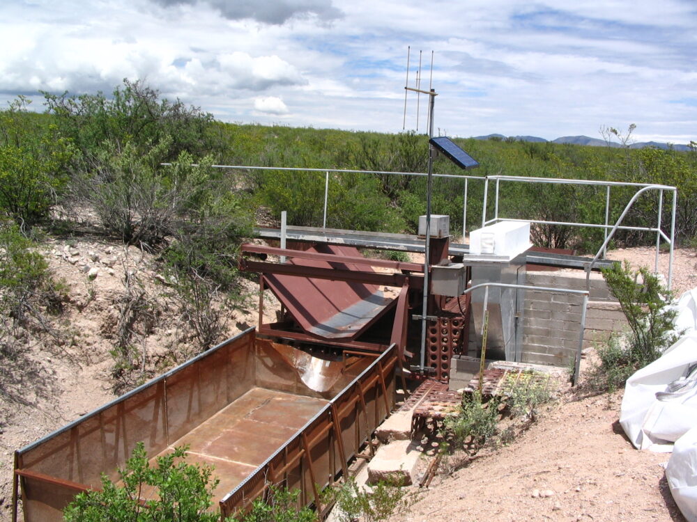
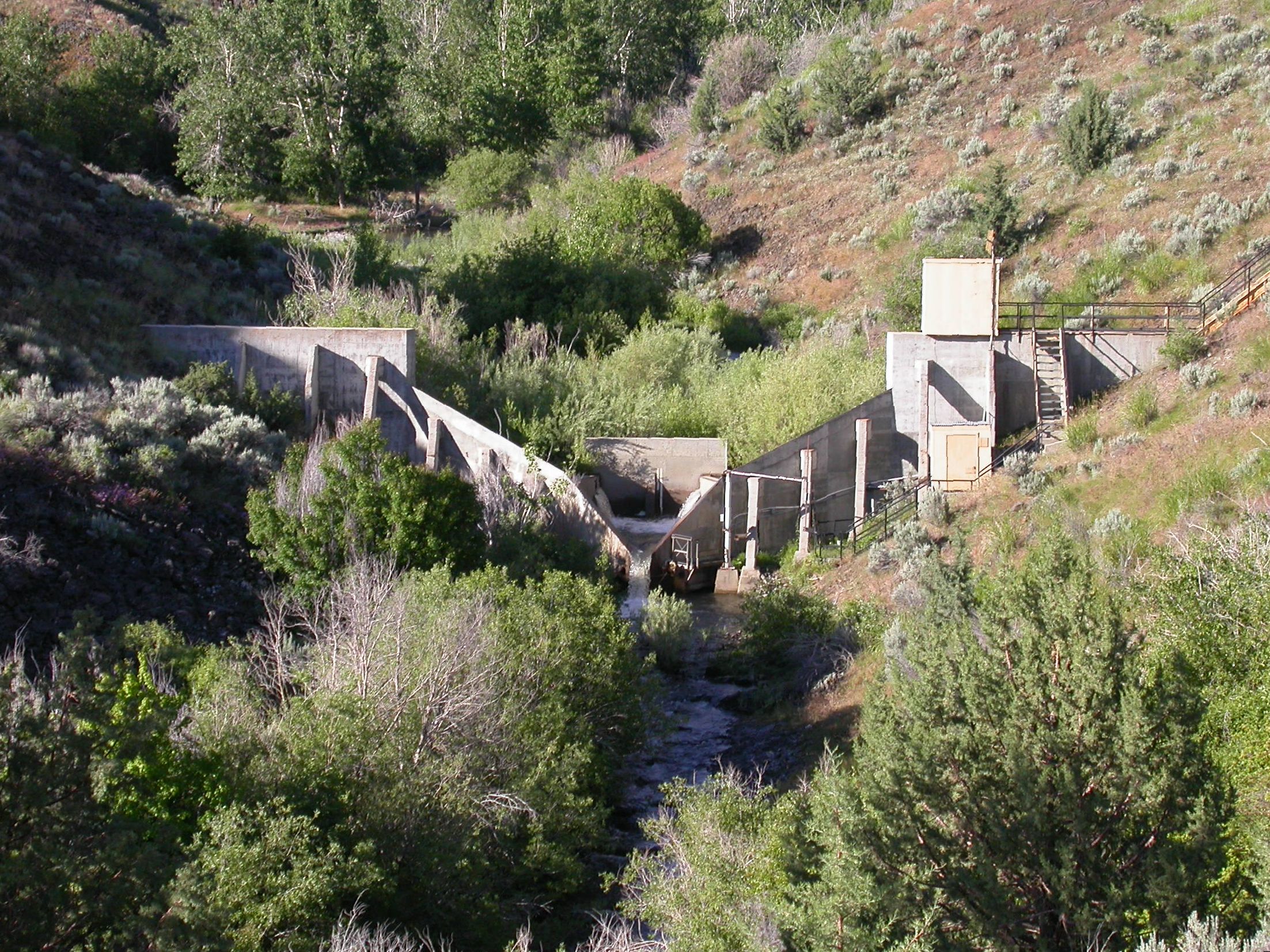
Small Flume and Box
KBS LTER researcher Kevin Kahmark works on the automated greenhouse gas sampling system, part of the KBS LTER biofuels experiment; Photo Credit: K.Stepnitz, Michigan State University
Dinku
GACP Tifton GA Eddy FluxStation
DJI flight
CPER Asprirational
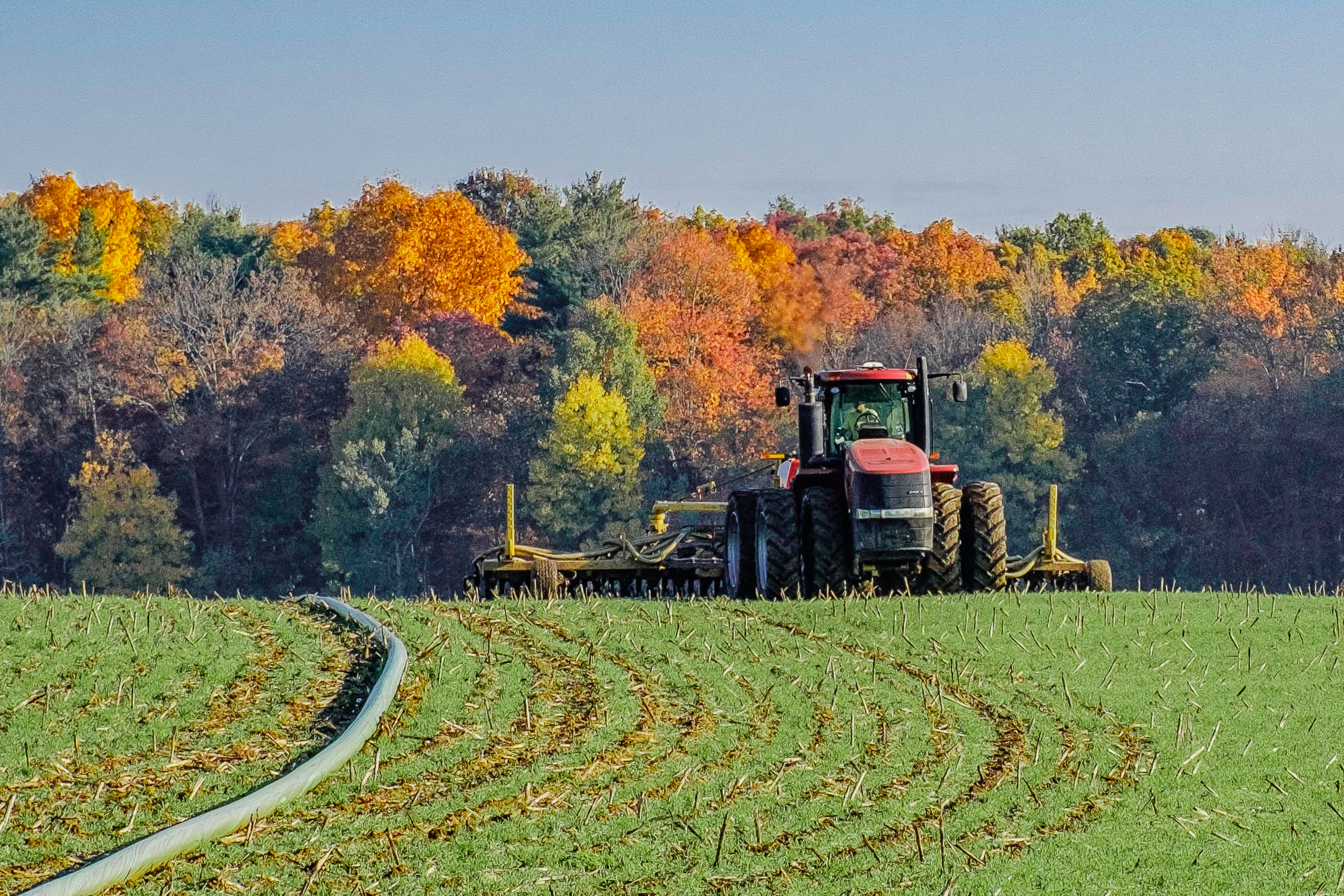
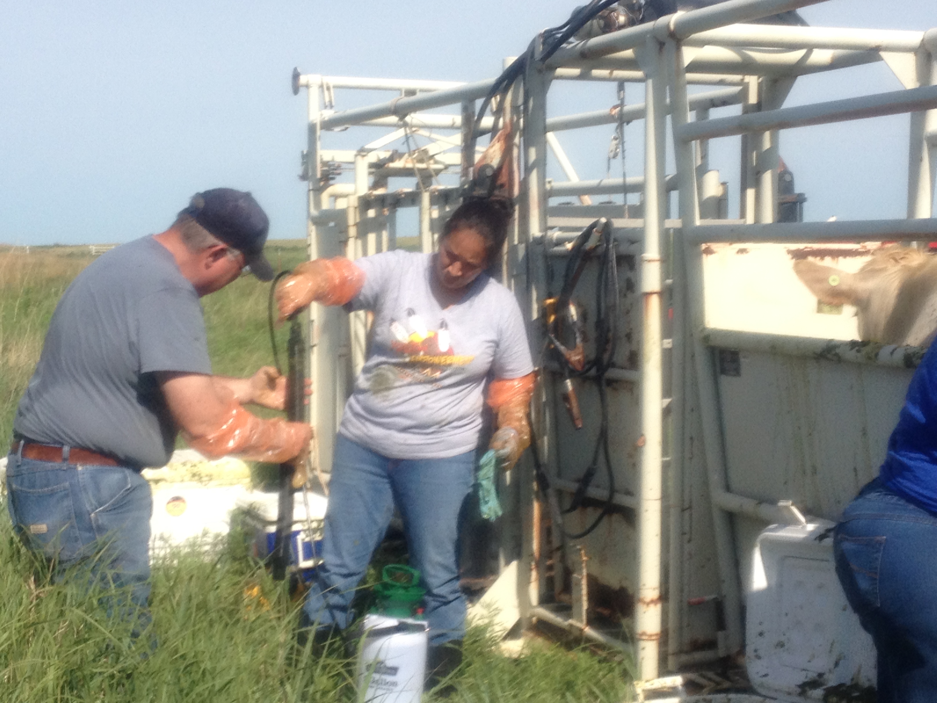
UCB: LTAR Manure injection with hose (1 of 1)

KBS Flux Tower 3. GLBRC/LTER scientist Terenzio Zenone checks the carbon dioxide flux tower on a GLBRC / KBS LTER switchgrass field (Marshall Farm); Photo Credit: B. Zenone, Michigan State University
UCB: Lysine app in LTAR Lysimeters-0664
KBS Flux Tower 1

WGW Flume One
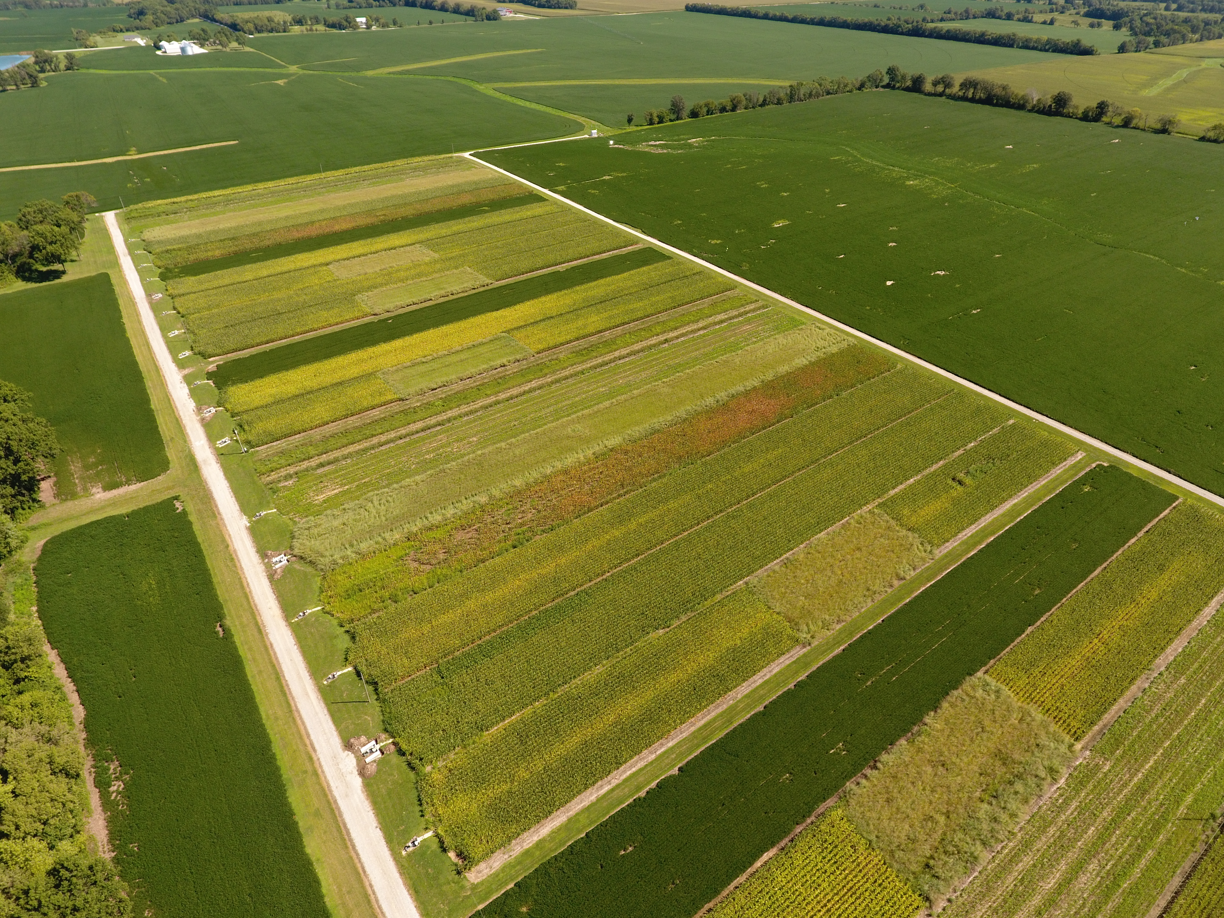
CMRB replicated plots August 2017

El Reno
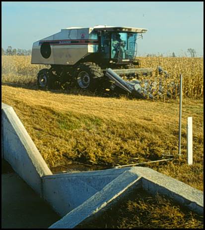
Harvesting by ASP field weir

UCB Pratt
Research technician Matt Dornan collecting greenhouse gas samples in the early successional field plots of the KBS LTER/GLBRC Biofuels research program, Photo Credit: K. Stepnitz, Michigan State University KBS LTER
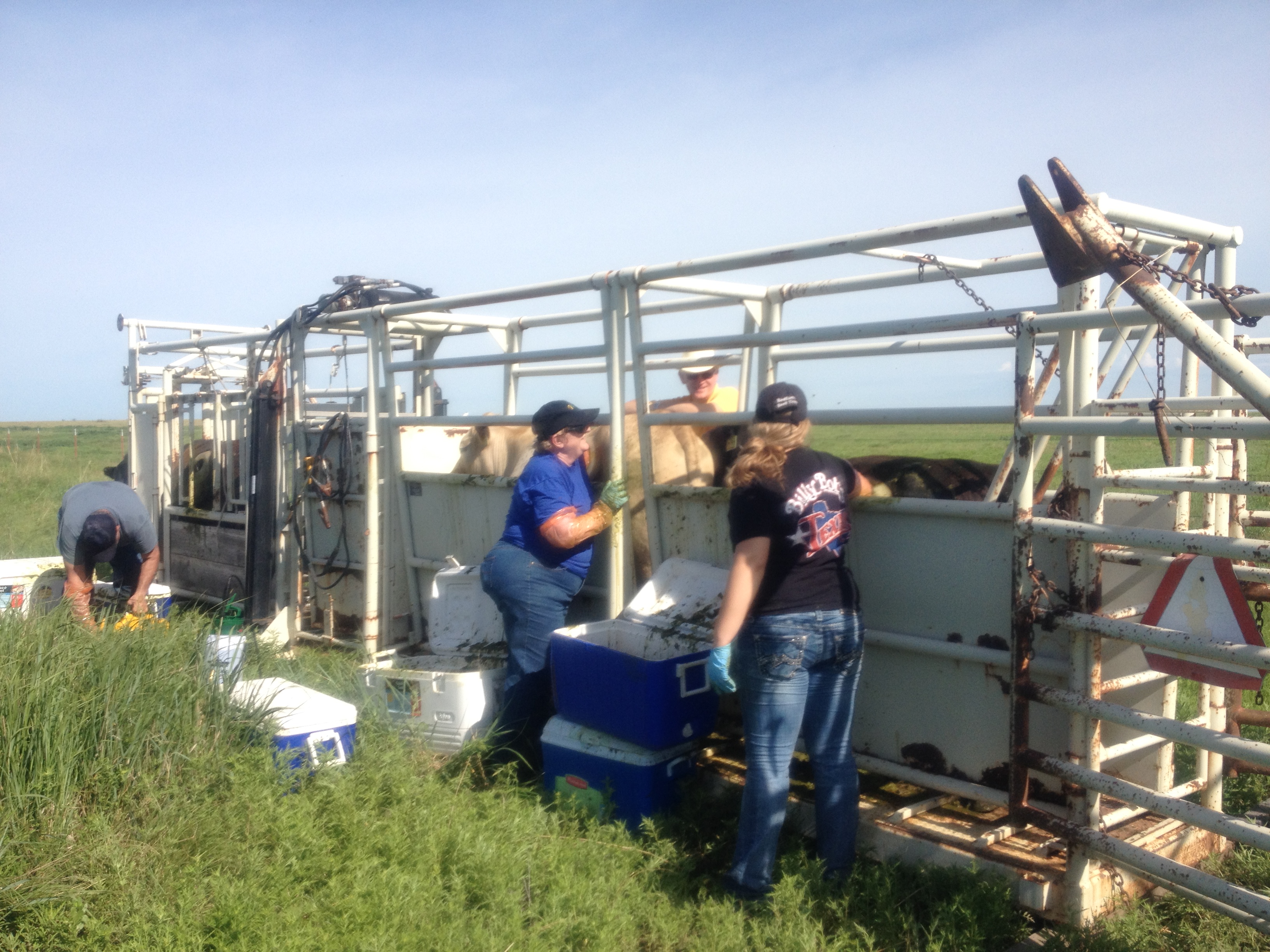
Emptying the rumen vac used for evaluating quantity and quality of forage intake of grazing beef cattle. Southern Plains LTAR, USDA ARS, El Reno, Oklahoma. Partially funded by: USDA-NIFA #2013-69002-23146.
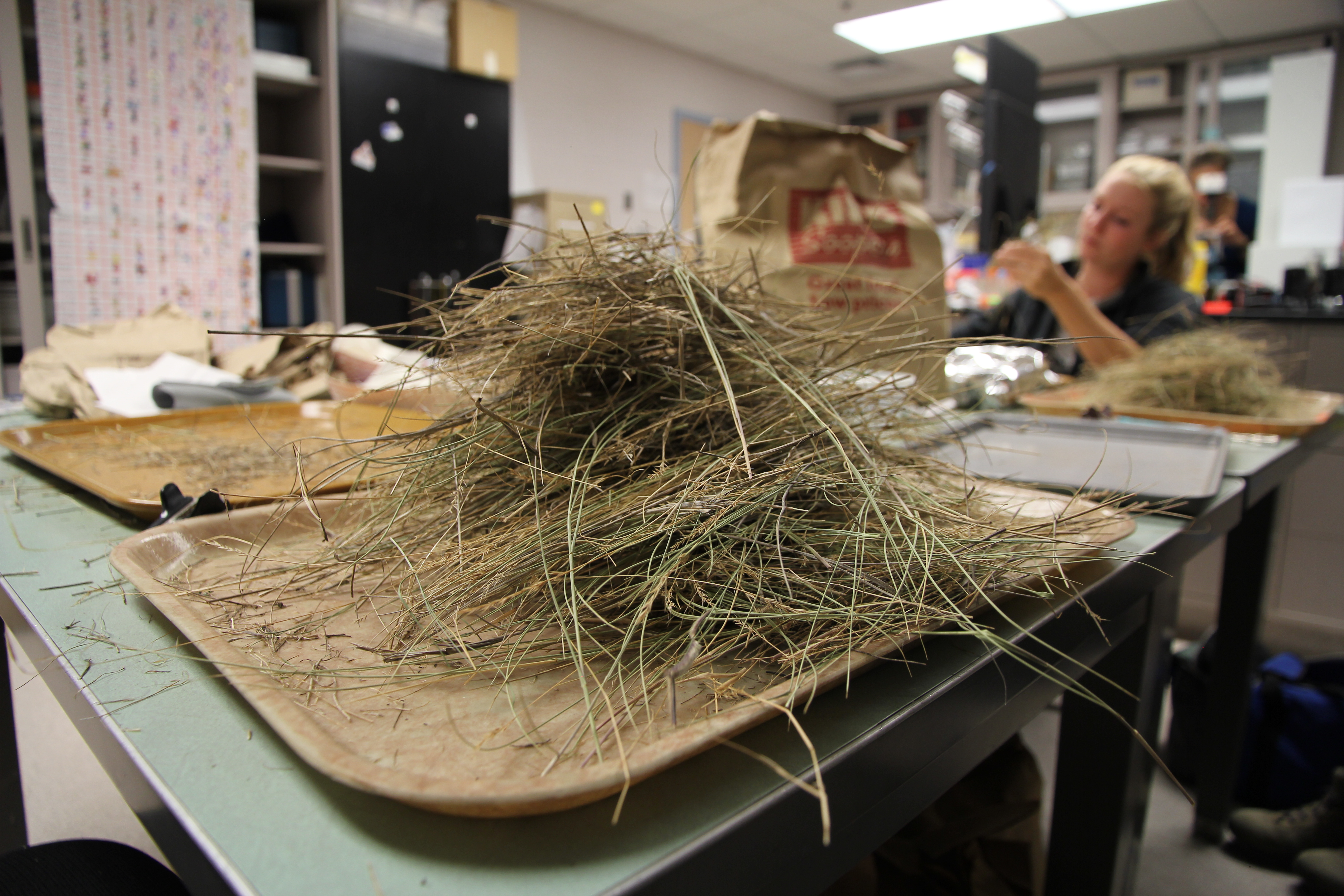
Sorting through harvested vegetation
UCB: LTAR Manure injection (2 of 2)
Study of grazing behavior in LTAR native prairie pasture Common Experiment site.
Clipping aboveground biomass from a Central Plains Experimental Range long-term research plot
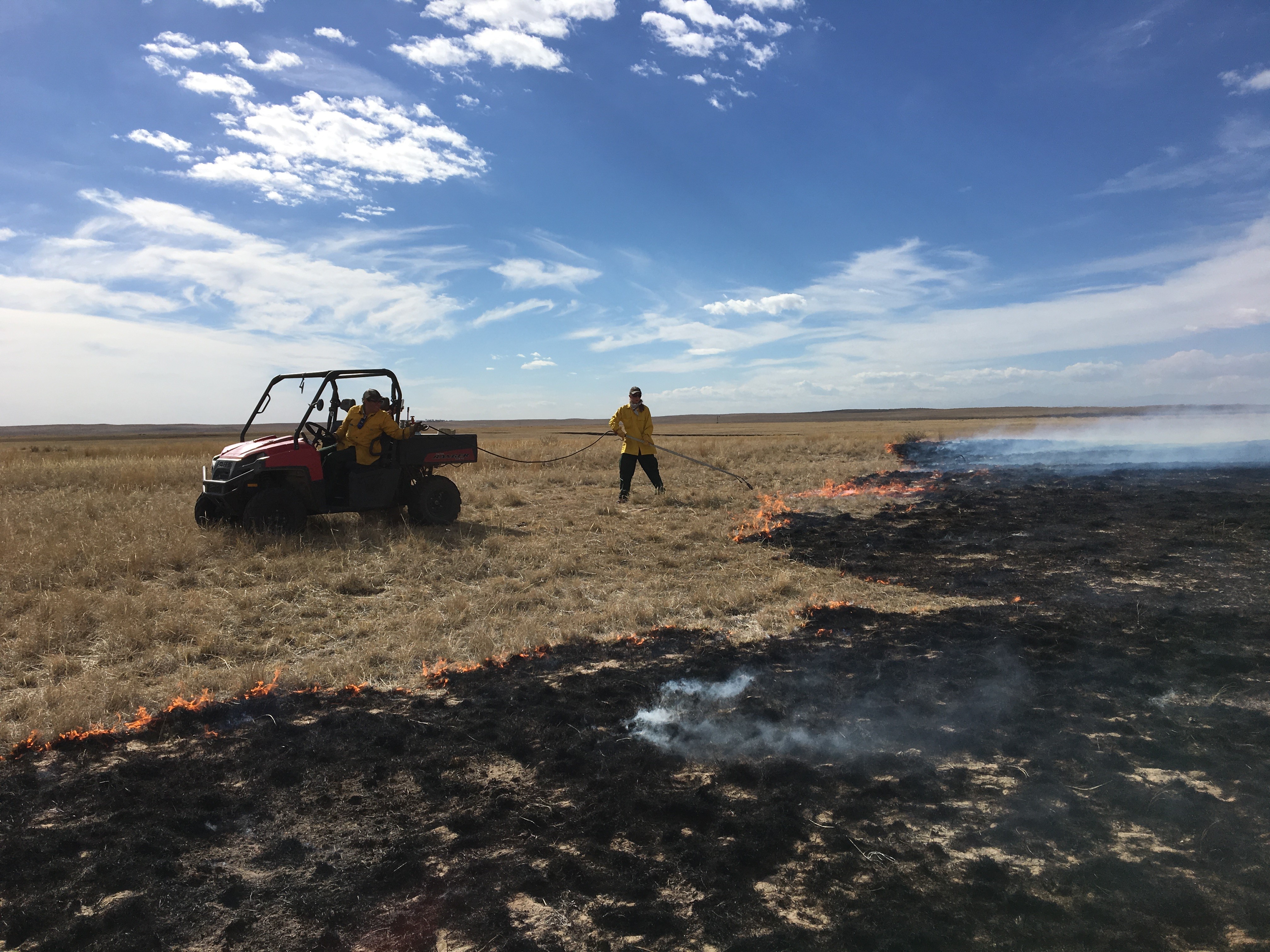
Prescribed burning is used a management strategy to increase vegetation structure heterogeneity in the landscape at the Central Plains Experimental Range
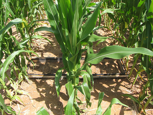
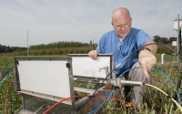
Two gas frames on either side of corn plants
UCB: Lysine app in LTAR Lysimeters-0693
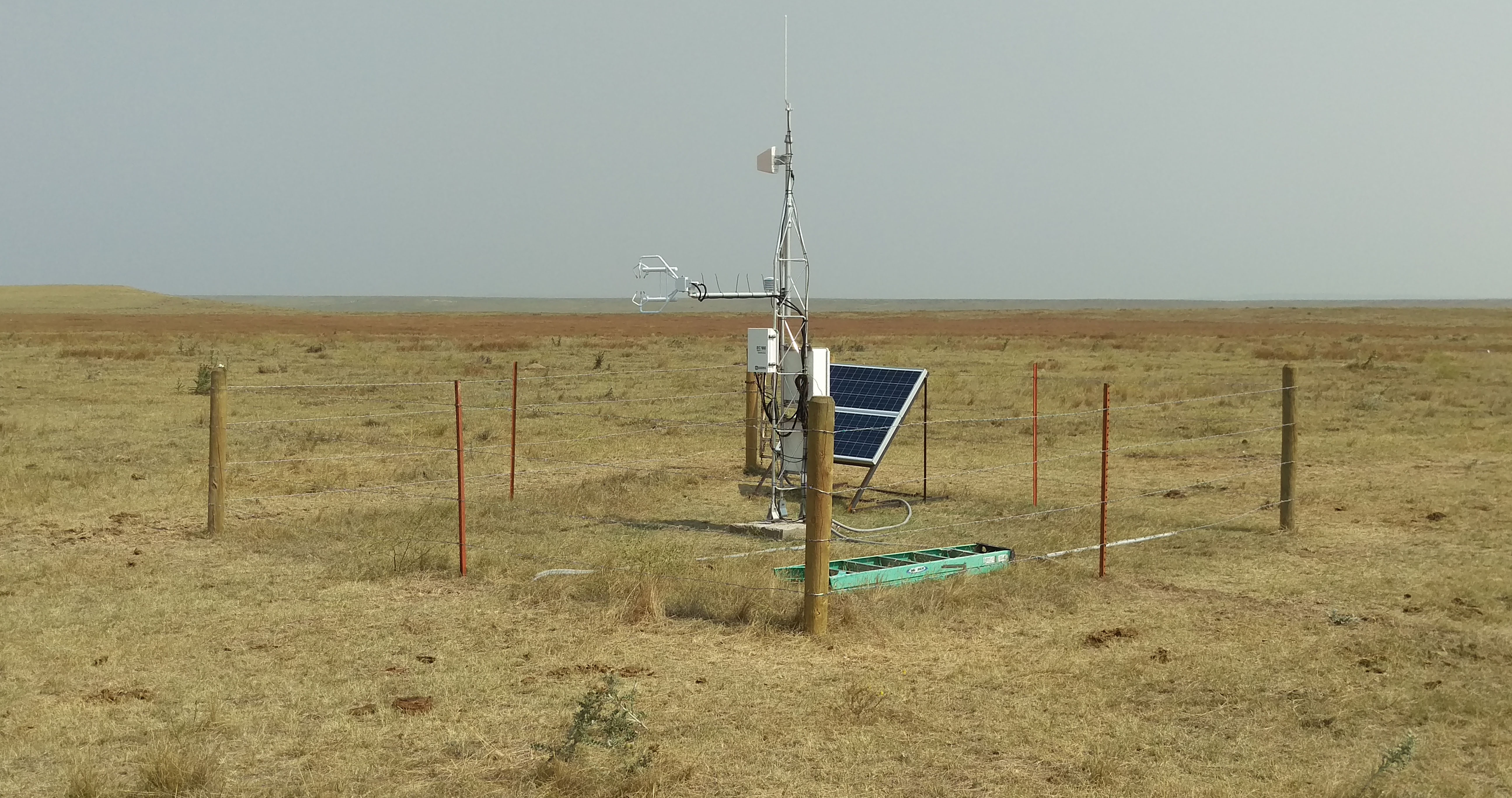
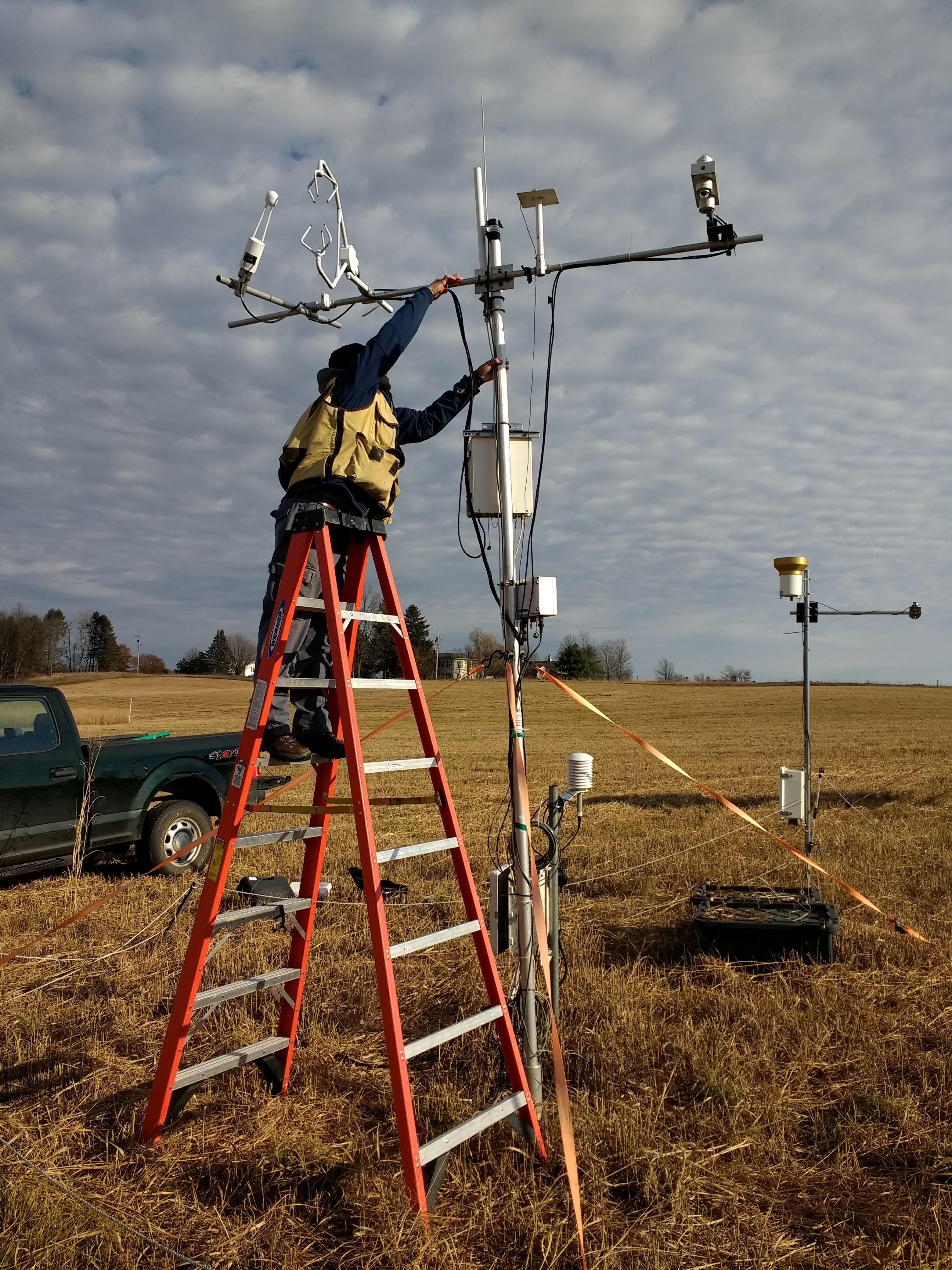
PRHP instrumentation

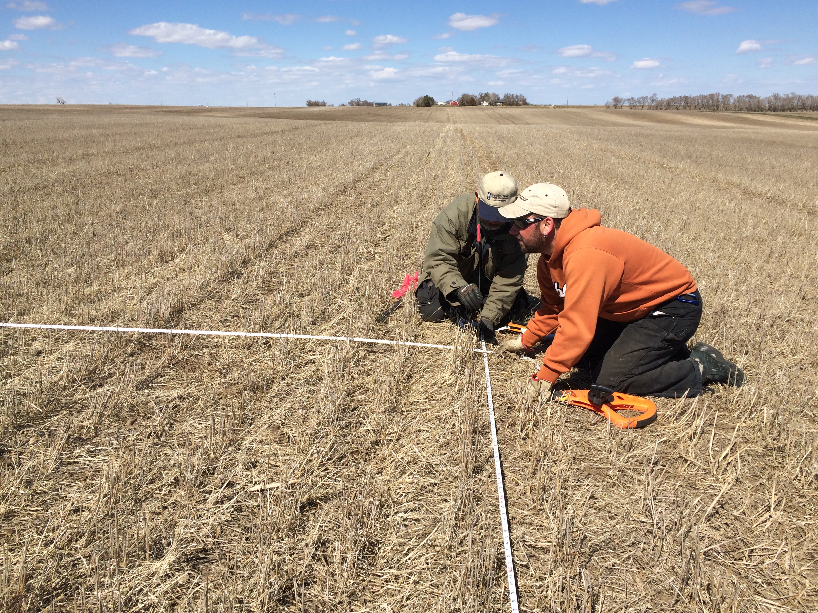
Baseline soil sampling at LTAR field site

Archbold 2016 meeting – Image 1
Milutin measuring soil moisture in corn field

Milutin taking gas samples
Sampling from large frame
Steers are fit with GPS collars and pedometers, which are used to assess livestock movement and grazing activity

The American pronghorn is a common ungulate at the Central Plains Experimental Range (Photo by M. Lindquist)

JER LTAR common experiment veg sampling
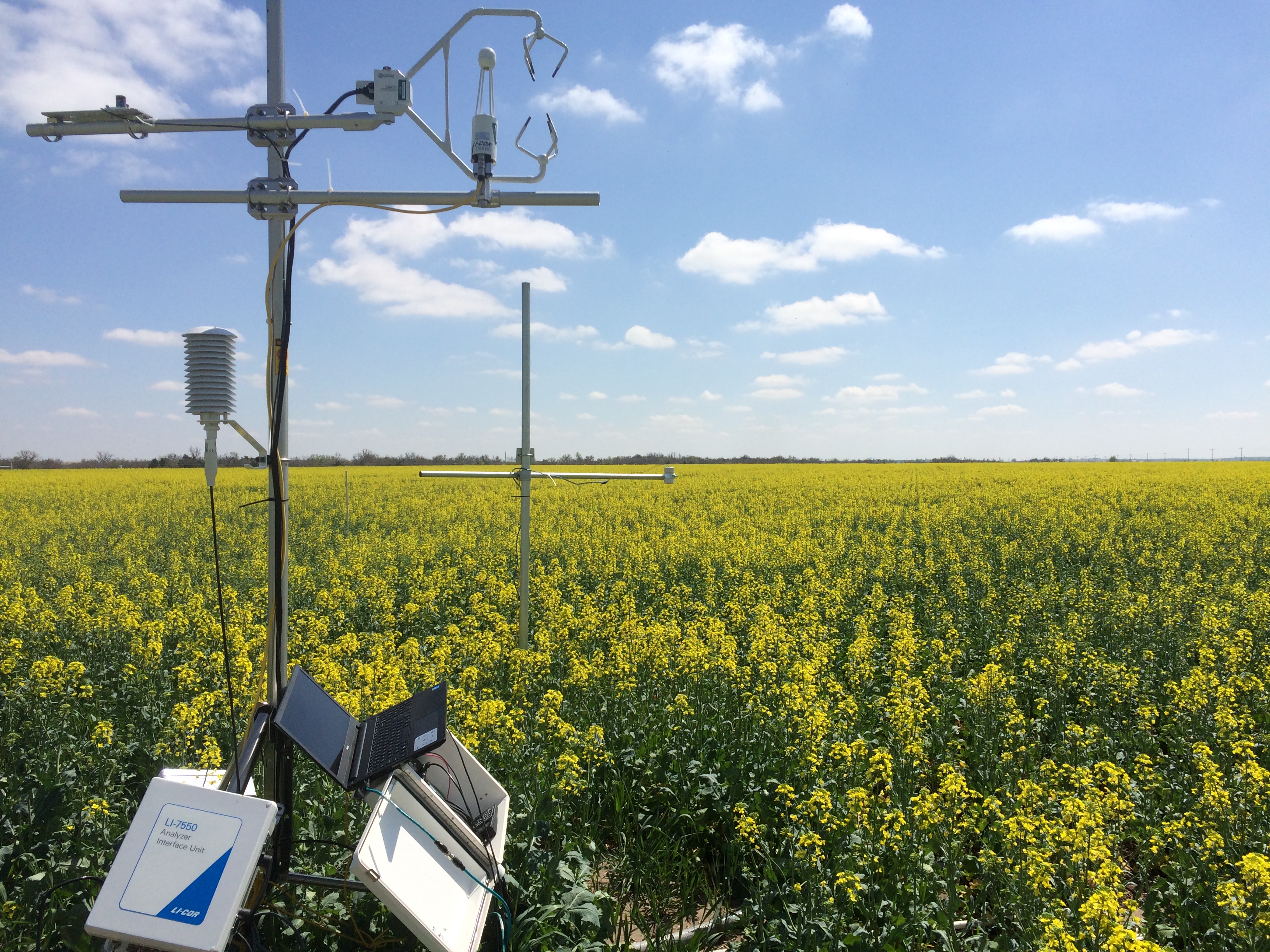
SP canola in common experiment. Water, energy, and GHG fluxes from canola site in Common Experiment “GREEN Farm”
Reynolds Creek at Tollgate weir defines an area of about a quarter (55 km²) of Reynolds Creek Experimental Watershed almost entirely comprised of the upper elevations that receive the greatest annual precipitation which predominately falls as snow. Elevations range from 1410 m to 2241 m. Vegetation is primarily sagebrush rangelands with small stands of Douglas fir (Pseudotsuga menziesii), aspen (Populus spp.), and Alpine Fir (Abies lasiocarpa) at the higher elevations
UCB: LTAR Eddy Tower (1 of 1)
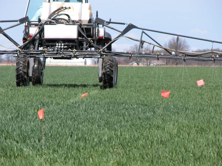
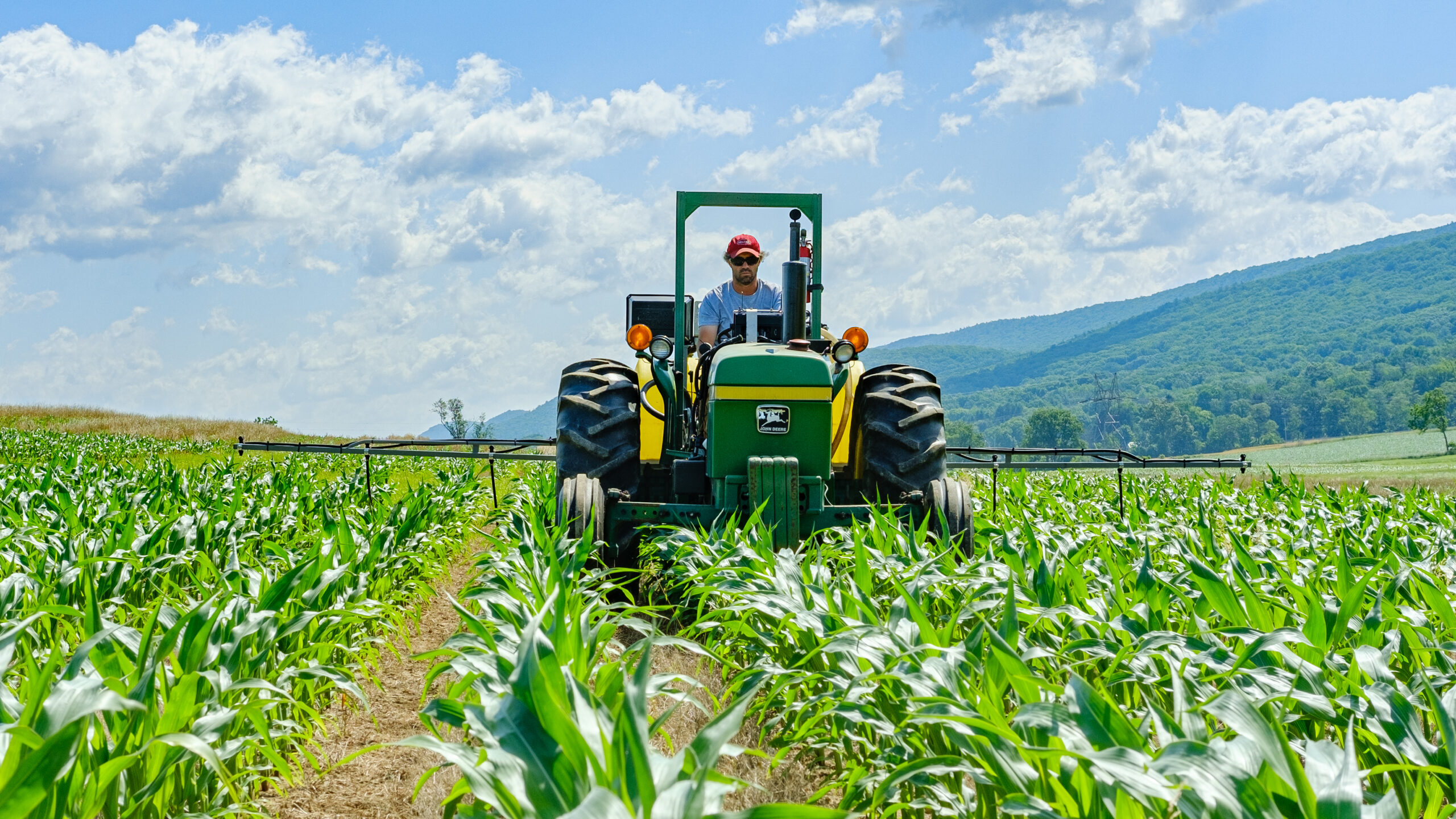
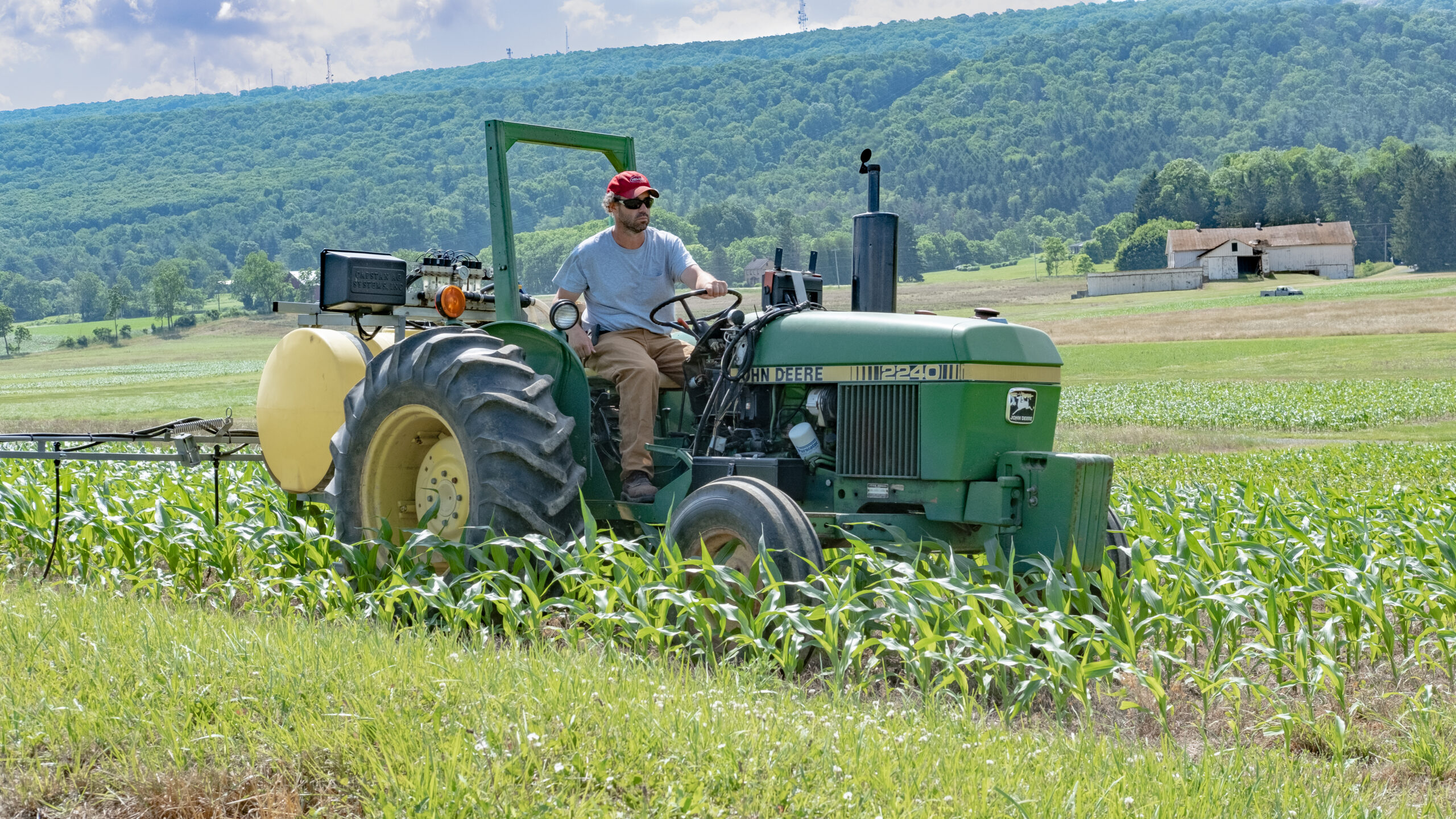
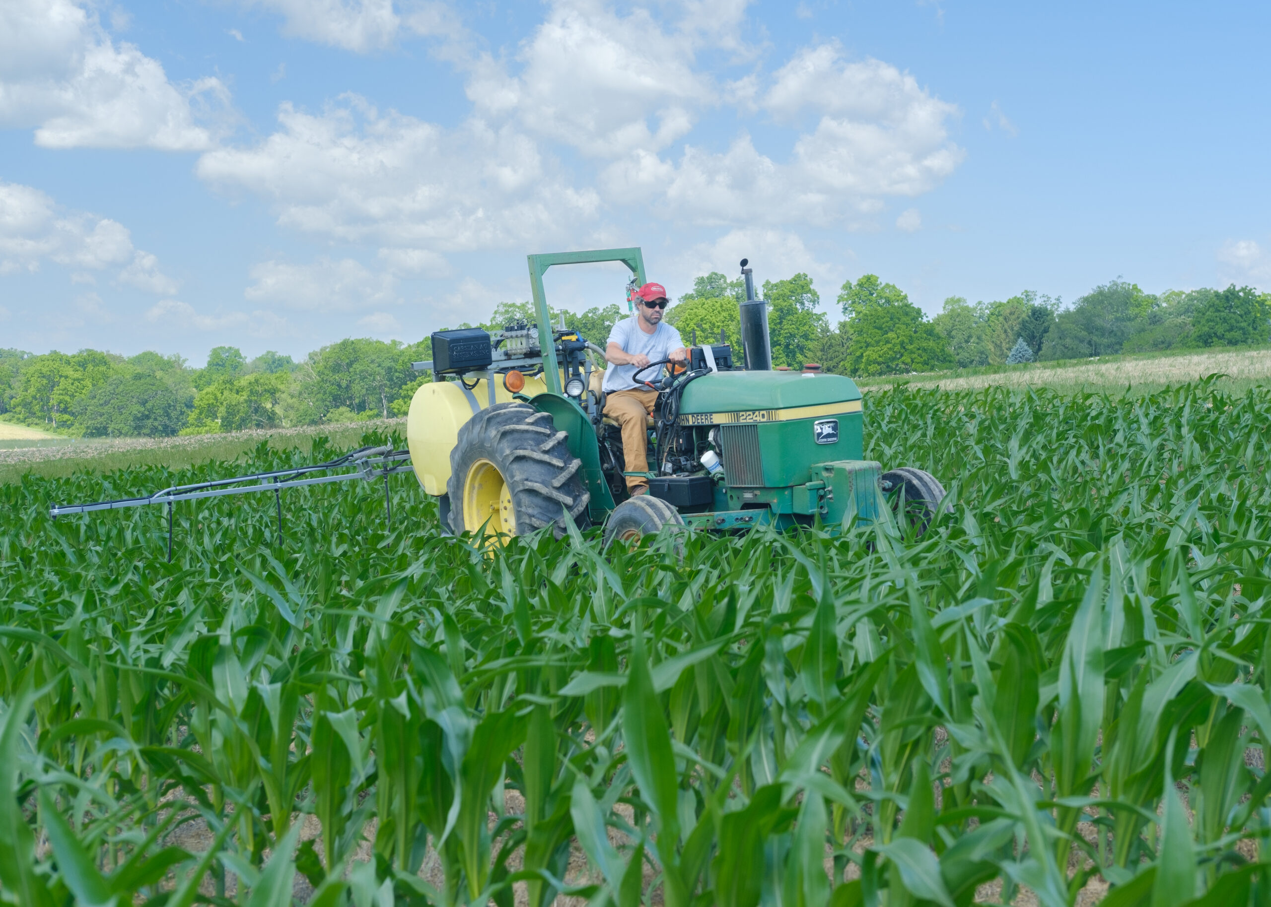
Sensor-based variable-rate N fertilization of wheat
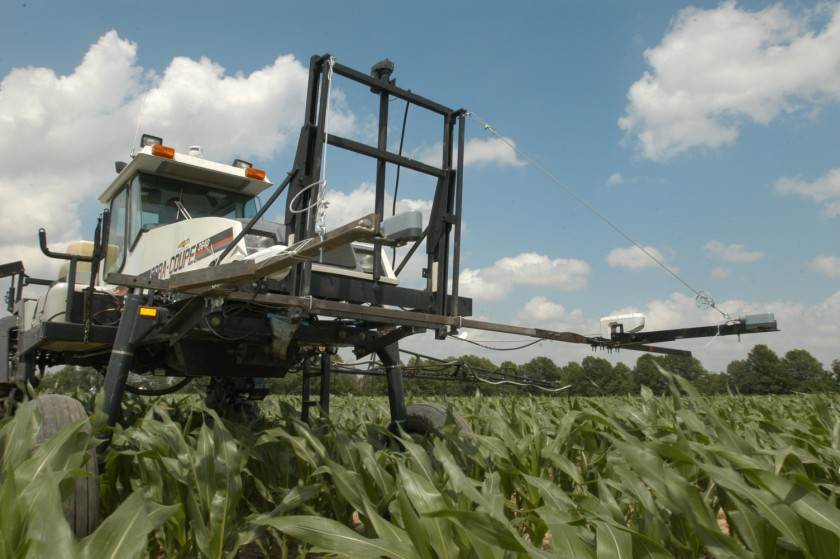
Sensor-based variable-rate N fertliziation of corn
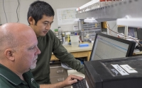
Research associate Kevin Kahmark and graduate student Di Liang discuss peak integration.
ABOUT LTAR
The USDA Agricultural Research Service (ARS) Long-Term Agroecosystem Research network consists of 18 Federal and university agricultural research sites with an average of over 50 years of history. The goal of this research network is to ensure sustained crop and livestock production and ecosystem services from agroecosystems, and to forecast and verify the effects of environmental trends, public policies, and emerging technologies.