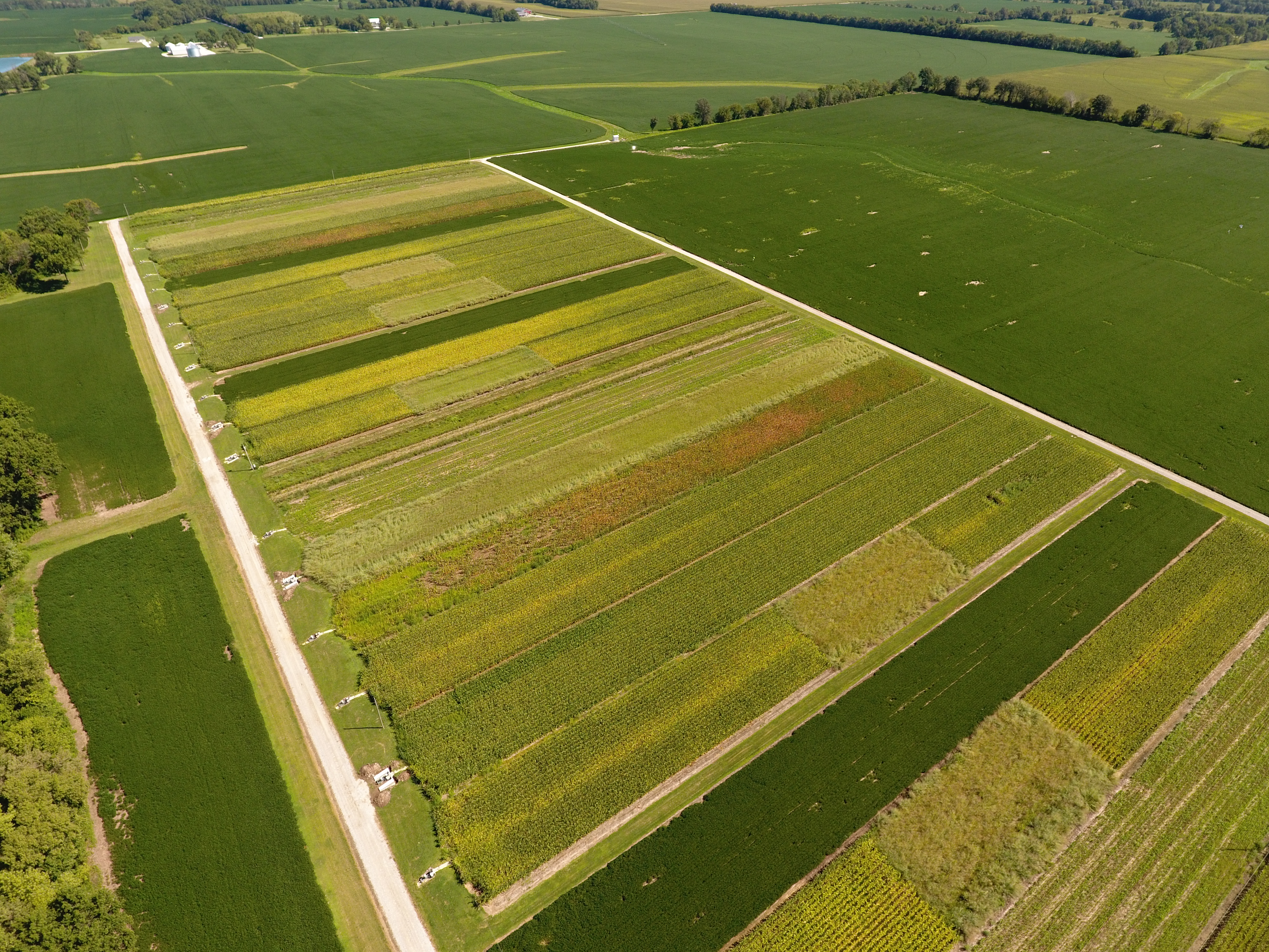
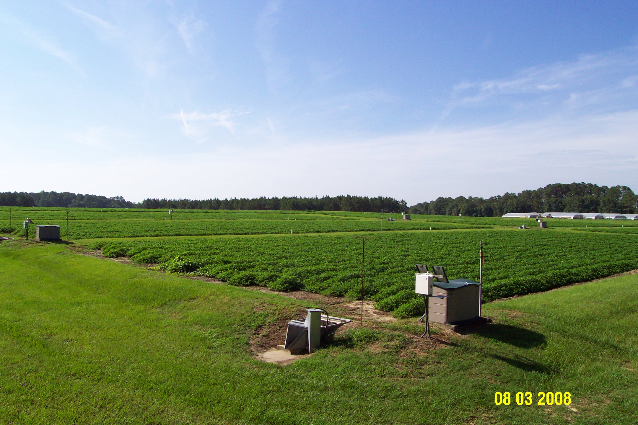
Hydrology
Working GroupMission/Vision
To define a consistent set of instruments and data processing procedures for measuring critical hydrologic variables (discharge and water quality) across the LTAR network at the precision and scales needed to enhance the performance of our analyses and support relevant agricultural and hydrologic models.
Objectives
- To develop water budgets across the LTAR network and define the level of precision required at each site to respond to the research questions.
- To ensure comparability of common observatory data across the network. To the extent scientifically feasible and appropriate, instruments leading to equivalent data quality (precision, accuracy), will be used with common methods.
- To make the near real-time, provisional, common observations from LTAR available to the public from an NAL repository
- To provide data from all sites to users in a common format with the same data definitions
- To accommodate varying levels of IT capabilities and build skills at the LTAR sites. For example, developing a clearinghouse for tools, code and operating procedures to share with all sites.
- To maintain continuity for observations that extend historical records.
- To develop a foundation for subsequent common observatory hydrologic data
Activities
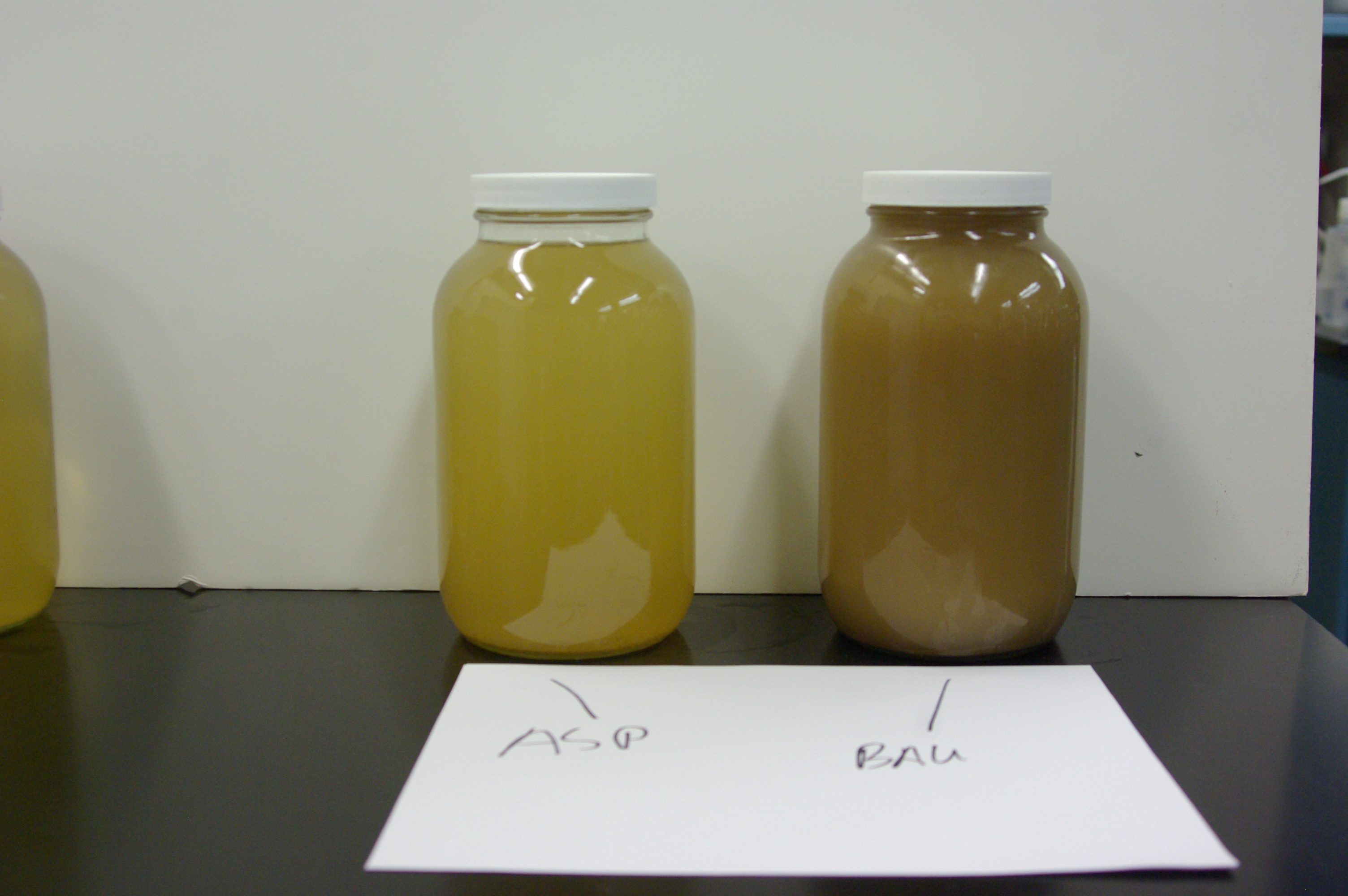
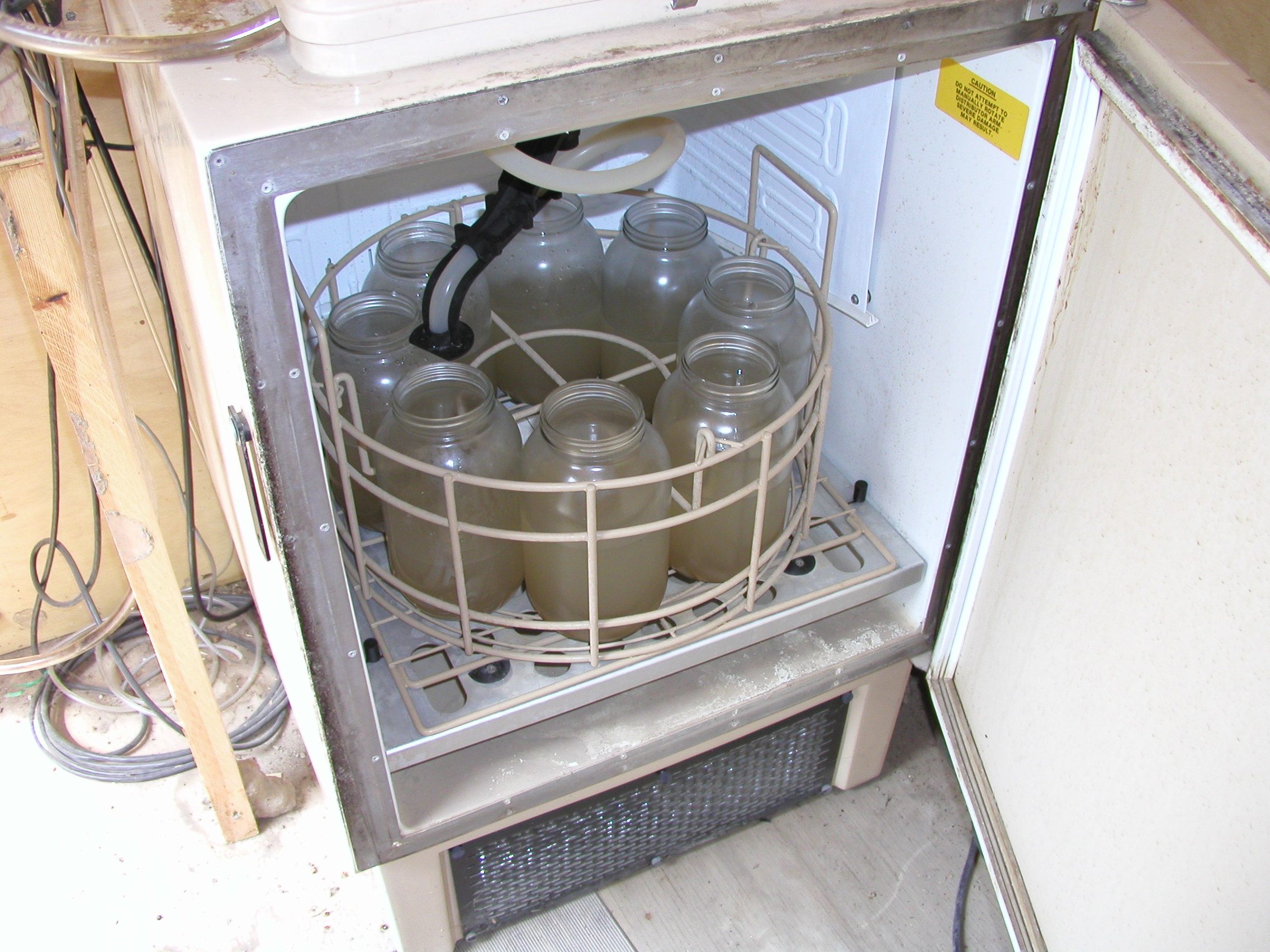
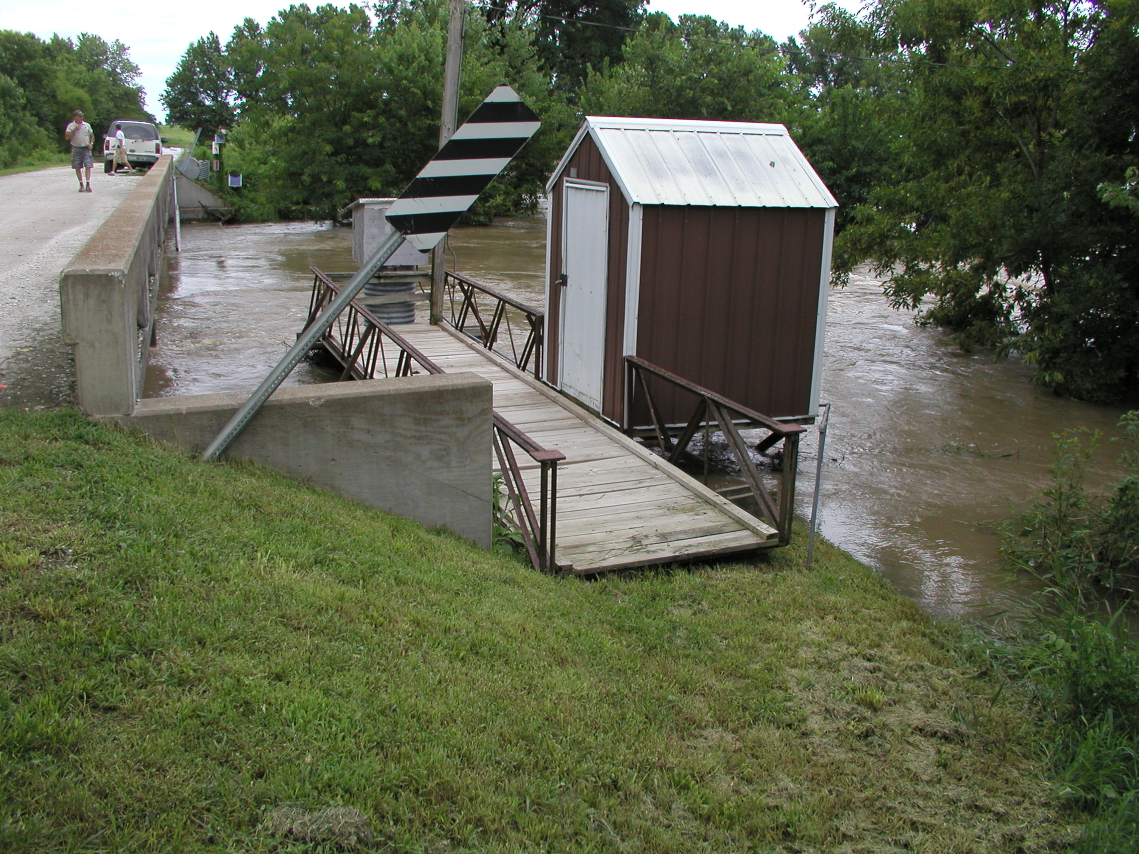
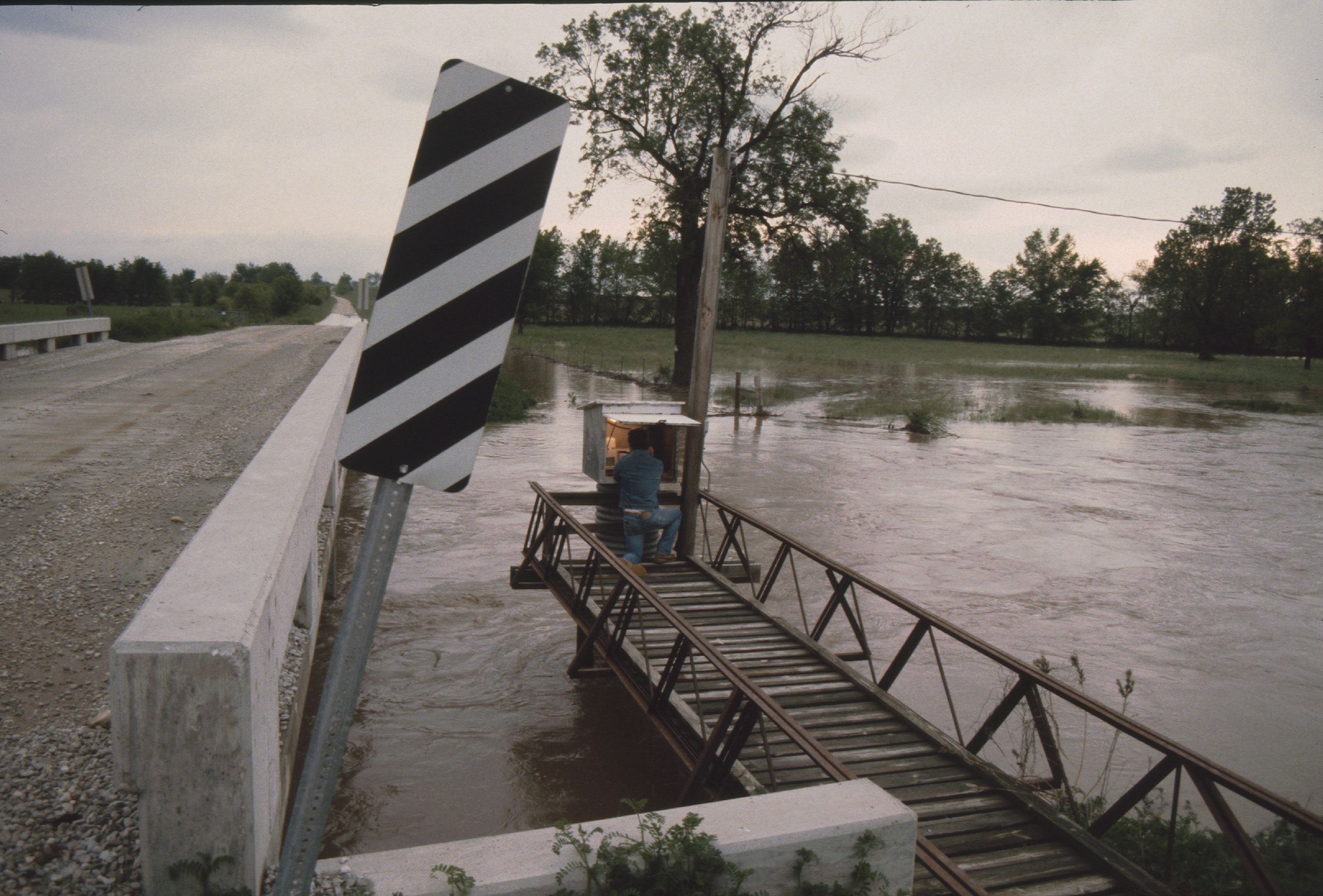
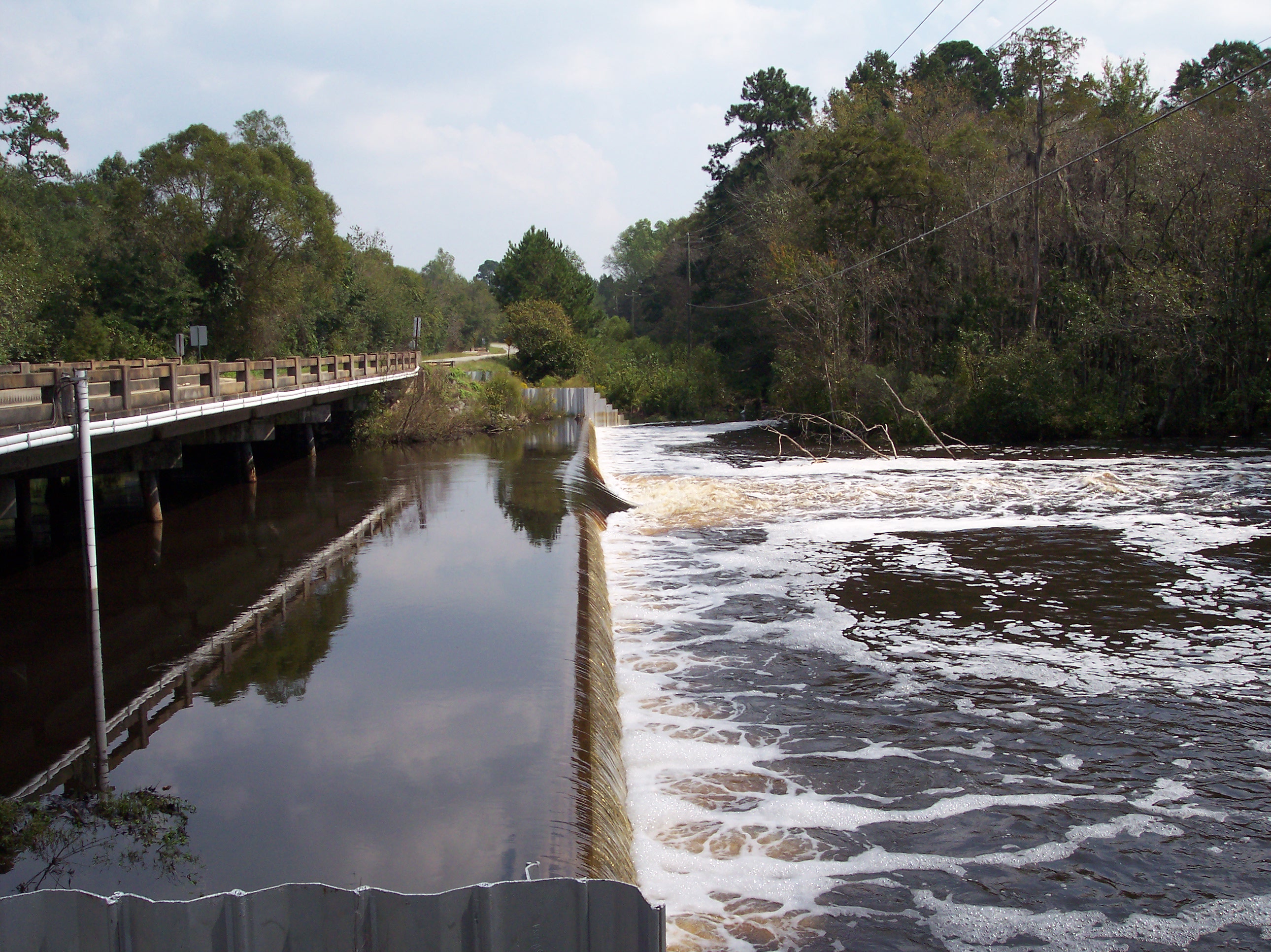
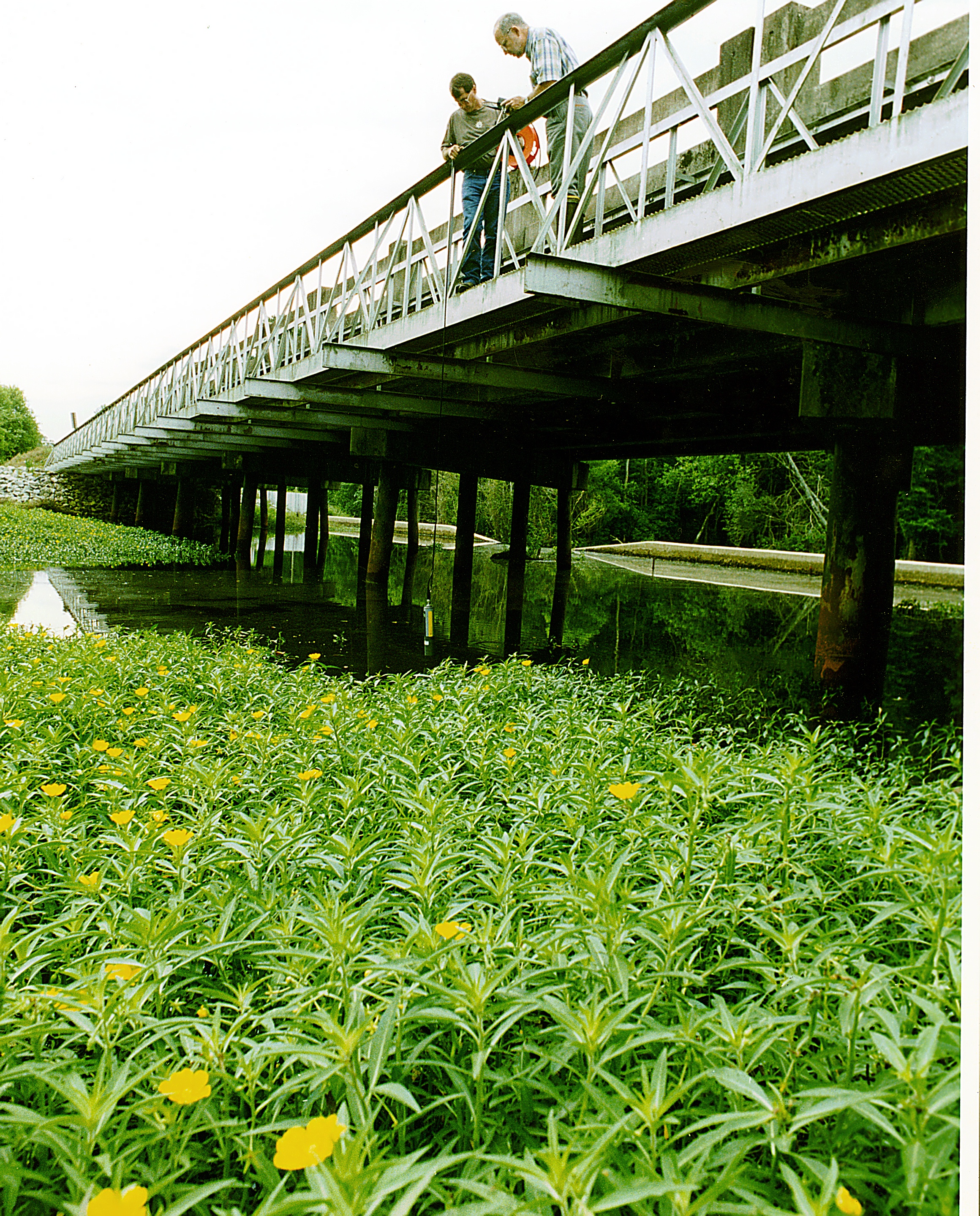
- Evaluate continuous water quality sensors for accuracy against measured sample concentrations, maintenance requirements, and general upkeep.
- Finalize calculation of water budget uncertainties for all sites at the watershed and field scales.
- Define levels of uncertainty that are acceptable for surface and subsurface discharge, percolation, and soil moisture (variables related to water budgets) at each site. Measurement of precipitation and ET is undertaken by the meteorology and Eddy flux working groups.
- Define levels of uncertainty that are acceptable for water quality variables (see list in the datasets section).
- Develop measurement protocols that reach the desired uncertainty levels (equipment, installation and maintenance, measurement, data processing).
- Develop a QA/QC process for hydrologic data.
- Develop guidance on maintenance tasks and frequency that achieve QA/QC goals.
- Establish procedures necessary for transmission to NAL (in collaboration with data management group).
Accomplishments
- A set of procedures (SOPs) to estimate and propagate uncertainties of the water budget components has been developed.
- A presentation was given at the 2017 ASA meeting (Tampa, FL) to present water budgets at all the LTAR sites, at field or watershed scale. Uncertainties are shown for all the field-scale water budgets.
- Test beds have been established for evaluating using real time in situ water quality sensors versus collecting samples and measuring concentrations.
Datasets Produced
- Discharge
- Soil moisture
- Percolation
- NO3-N (concentrations and flux)
- Total N (concentrations and flux)
- Dissolved P (concentrations and flux)
- Total P (concentrations and flux)
- Sediment (concentrations and flux)
- Herbicide or pesticide (concentrations and flux)
- Dissolved and Total Organic C (concentrations and flux)
- Turbidity, pH and conductivity
Manuscripts Published
- Analysis of water budgets and associated uncertainties across the LTAR network
- Water Quality Status and Trends in Agricultural Watersheds of the US
Working Group Name
Hydrology Working Group
Leader(s)
Claire Baffaut and Greg McCarty
Members
List will appear here

ABOUT LTAR
The USDA Agricultural Research Service (ARS) Long-Term Agroecosystem Research network consists of 18 Federal and university agricultural research sites with an average of over 50 years of history. The goal of this research network is to ensure sustained crop and livestock production and ecosystem services from agroecosystems, and to forecast and verify the effects of environmental trends, public policies, and emerging technologies.